Benthic Resource Assessments
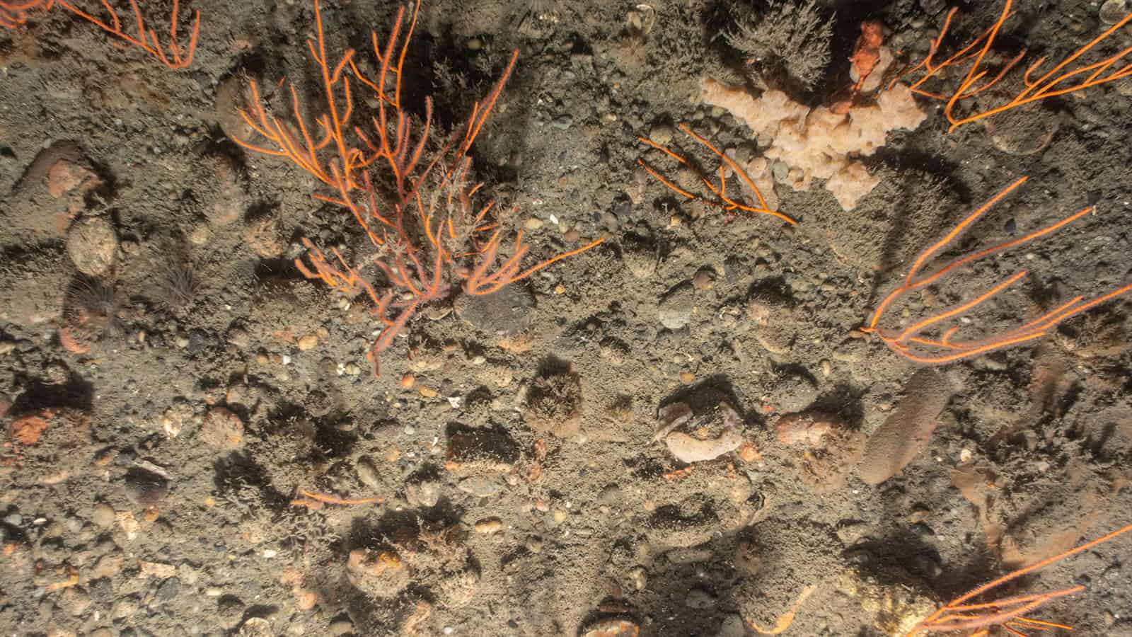
Our benthic ecologists are experts in acquiring and interpreting seafloor imagery and other benthic data types, with a focus on assessing and monitoring ecological function and mapping benthic habitats. Our holistic visual approach employs high resolution imagery for enhanced interpretation of seafloor health and functioning to inform project designs, permitting conditions, and regulatory decisions.
Our scientists are leaders in producing comprehensive technical reports and peer reviewed literature that are used to guide permitting, environmental impact analysis, regulatory decisions, and targeted studies such as nature based design and beneficial-use evaluations.
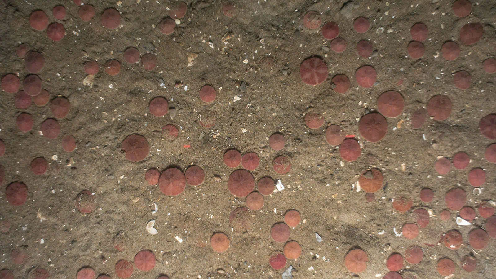
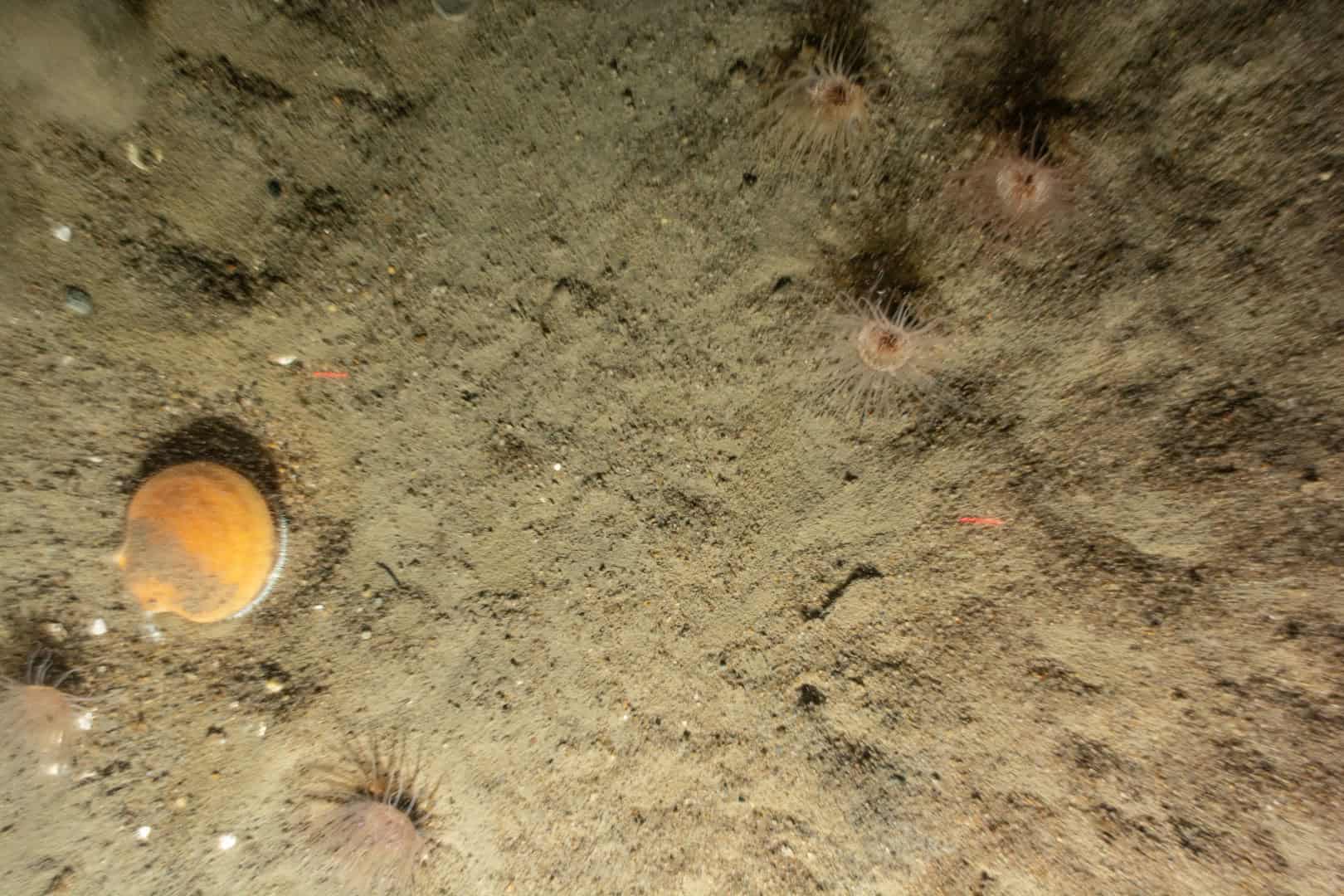
Historically, marine scientists relied on sediment grab samples and cores to understand seafloor ecology. However, removed from context, these data can misinform monitoring programs and underrepresent complex seafloor dynamics. Employing SPI/PV, we read benthic processes in situ, deriving qualitative and quantitative observations, for faster, better information at a lower cost.
Our scientists have more collective experience than anyone in acquiring and interpreting benthic imagery. We provide rapid expert analysis, produce clear and comprehensive technical reports, papers, and permitting documents, and provide compelling presentation of results using our interactive, agency-preferred Popup data visualization tool, facilitating stakeholder understanding and driving informed decision-making.
Our staff have more collective experience than anyone in acquiring and interpreting benthic images.
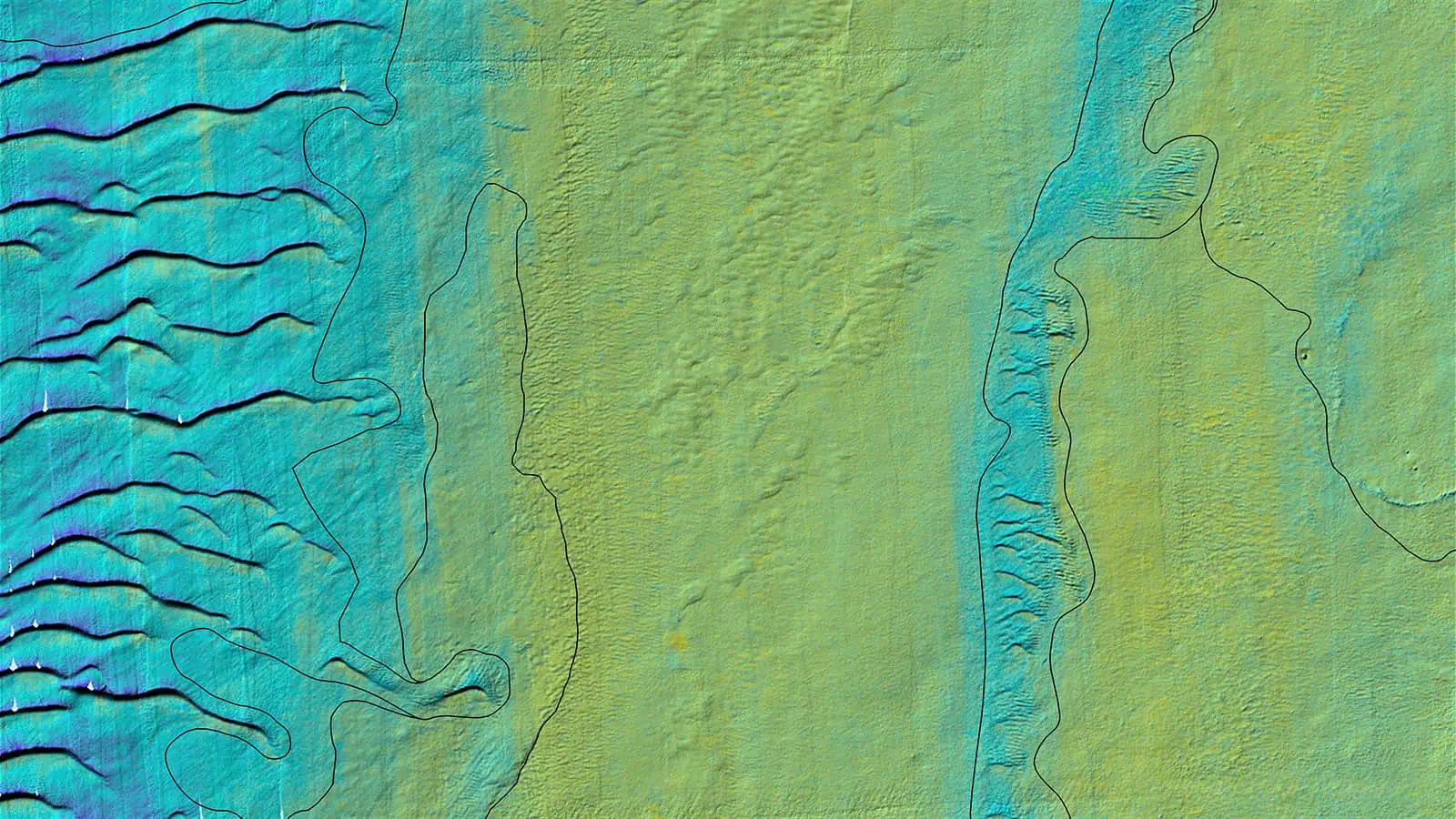
SPI/PV and other survey technologies integrated into GIS and paired with high-resolution acoustic data, tells detailed stories of seafloor habitats.
From survey design to our state-of-the-art image analysis process, our statistical analyses and quality control protocols ensure data integrity, reproducibility, and transparency.
Benthic assessment provides crucial groundtruth data for accurate habitat mapping efforts required for Essential Fish Habitat consultation.
Benthic assessment identifies and evaluates habitats for fish to spawn, breed, feed, or grow to maturity, crucial for effective fisheries management and conservation.
High-quality technical reports provide detailed, accurate information necessary to make informed decisions on environmental, safety, and design matters.
Benthic assessment supports benthic monitoring plan development.

The Nature Conservancy Webinar: Understanding Interactions Between Fish, Fish Habitat & Offshore Wind, featuring Dr. Annie Murphy, INSPIRE Environmental
Other Services
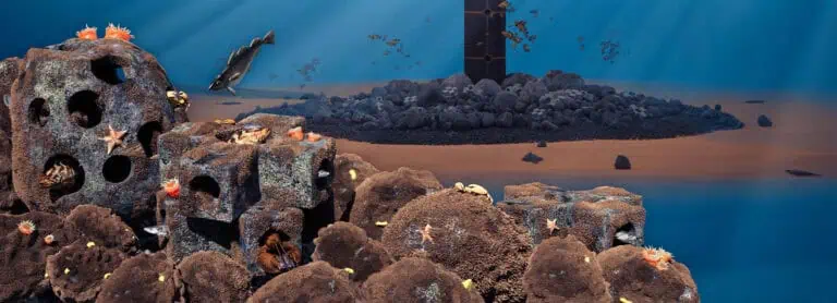
Nature Based Design
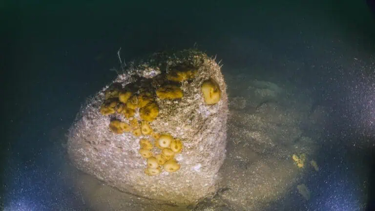
Benthic Monitoring Plans and Implementation
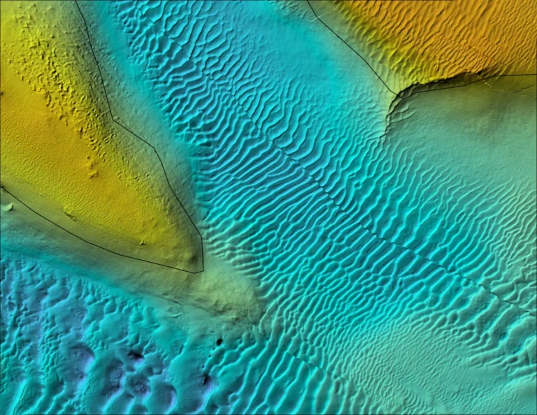
Benthic Habitat Mapping
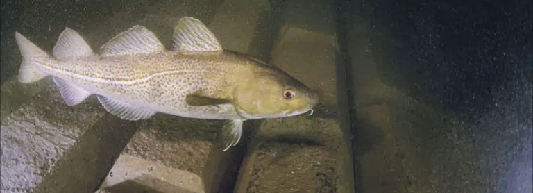
Foundation and Secondary Cable Protection Inspections
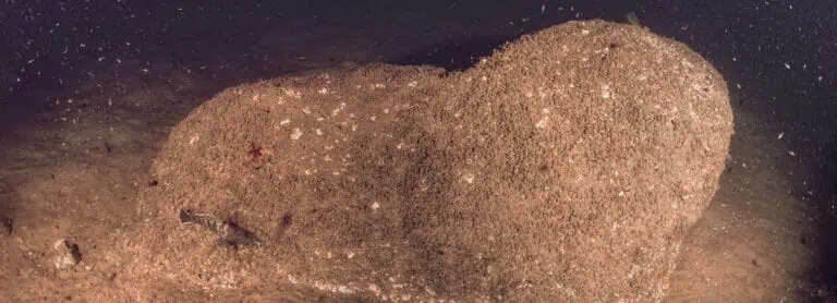
Marine Growth Services
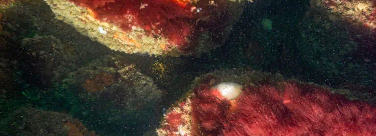
Habitat Creation and Restoration
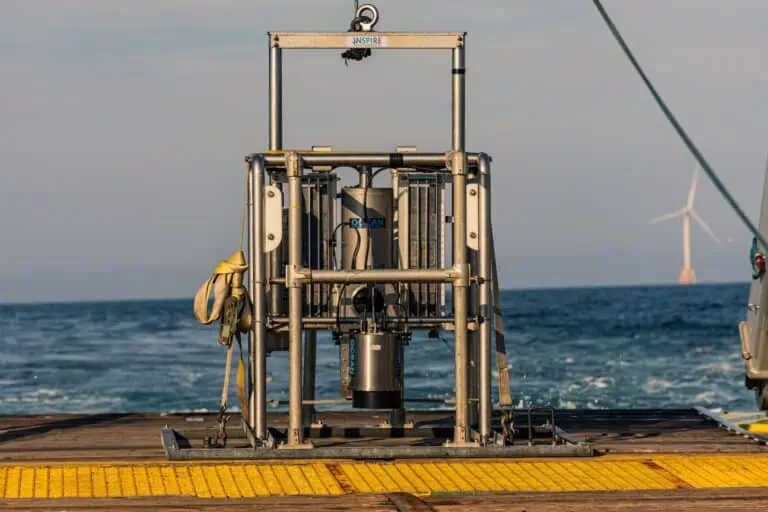
Sediment Profile Imaging/Plan View (SPI/PV) Surveys
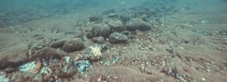
Towed Video Surveys
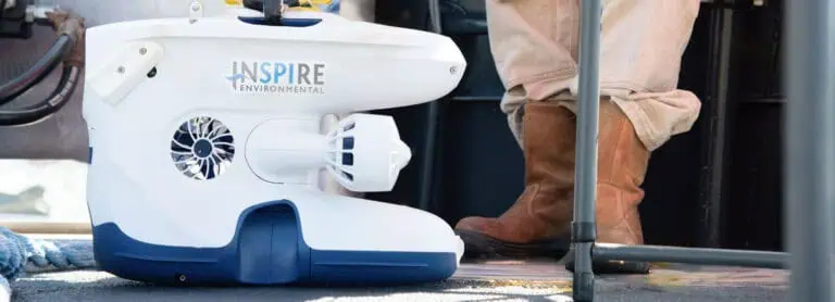
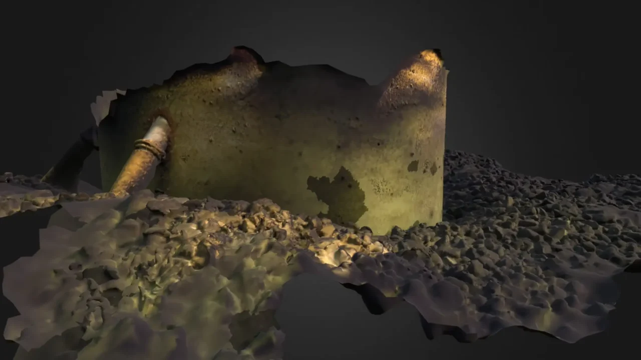
ROVs, High Resolution Video & 3D Photogrammetry

Submerged Aquatic Vegetation Surveys

Regulatory Support Services

