Publications | Published on 13.09.24
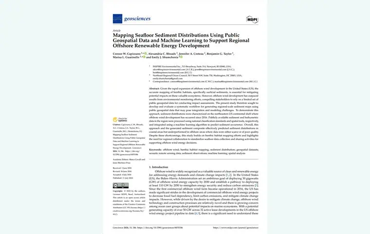
Mapping Seafloor Sediment Distributions Using Public Geospatial Data and Machine Learning to Support Regional Offshore Renewable Energy Development
Given the rapid expansion of offshore wind development in the United States (US), the accurate mapping of benthic habitats, specifically surficial sediments, is essential for mitigating potential impacts on these valuable ecosystems. However, offshore wind development has outpaced results from environmental monitoring efforts, compelling stakeholders to rely on a limited set of public geospatial data for conducting impact assessments.


