USACE New England District Environmental Services Contract
INSPIRE was the prime contractor responsible for the management of the 5-year, $5M Indefinite Delivery Indefinite Quantity (IDIQ) contract for Environmental Services with the USACE New England District (NAE). In this capacity, INSPIRE provided broad support across a diverse range of USACE programs and fulfills regulatory, navigation, and environmental monitoring initiatives in alignment with Performance Work Statements (PWSs) issued by the USACE.
Even prior to the incorporation of INSPIRE in 2015, members of our Team have been providing USACE NAE with critical data to support site management decisions for multiple dredged material placement sites in New England waters. Our expertise in benthic resource assessment and legacy with the Disposal Area Monitoring System (DAMOS) Program certifies our position as a trusted partner to this program.
Dredged Material Disposal Site Designation
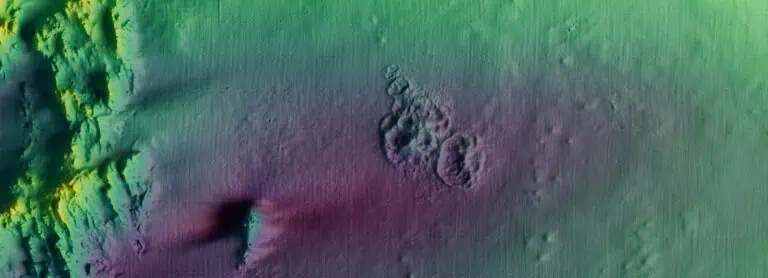
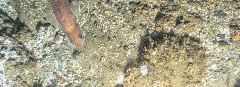
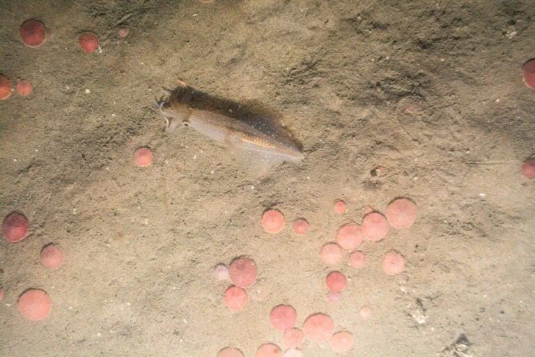
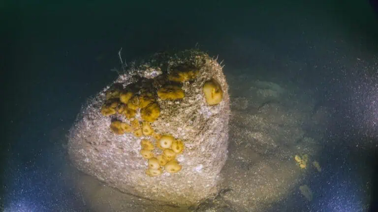
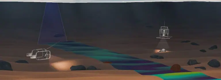
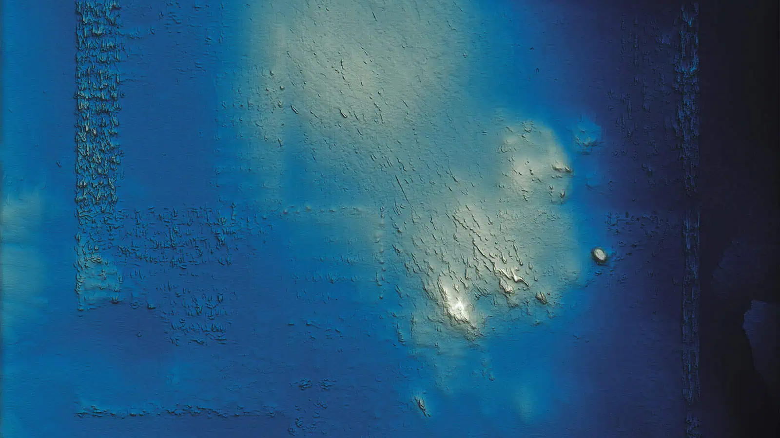
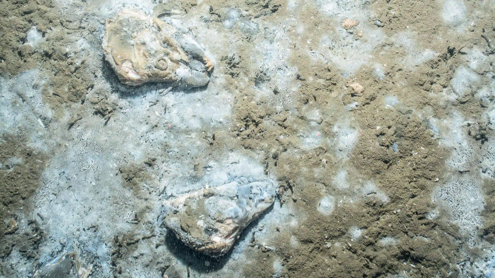
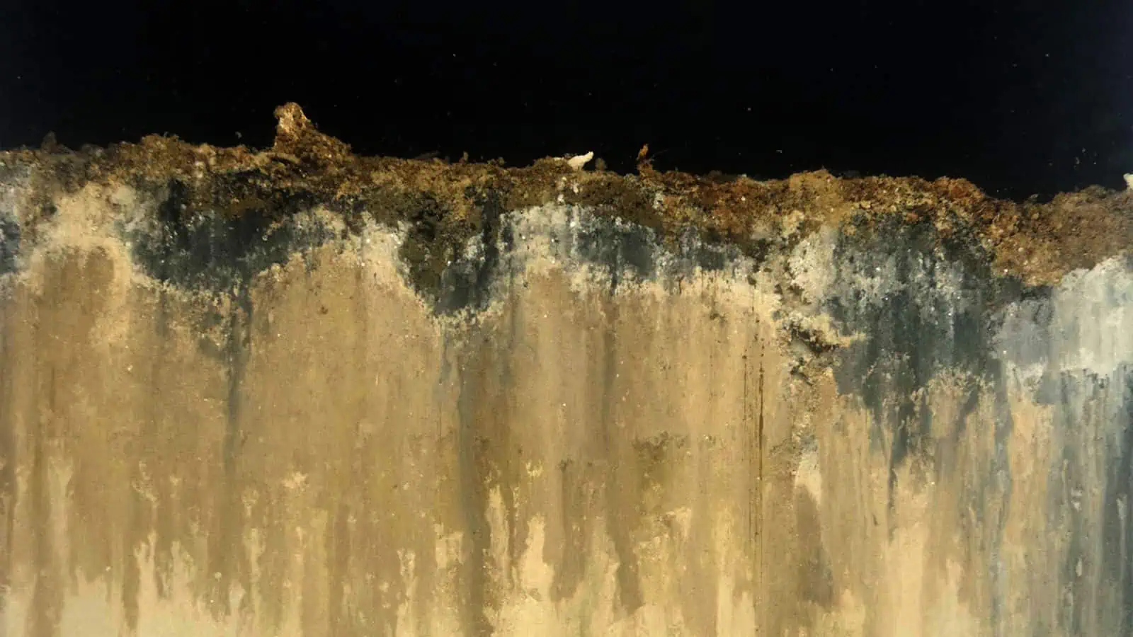
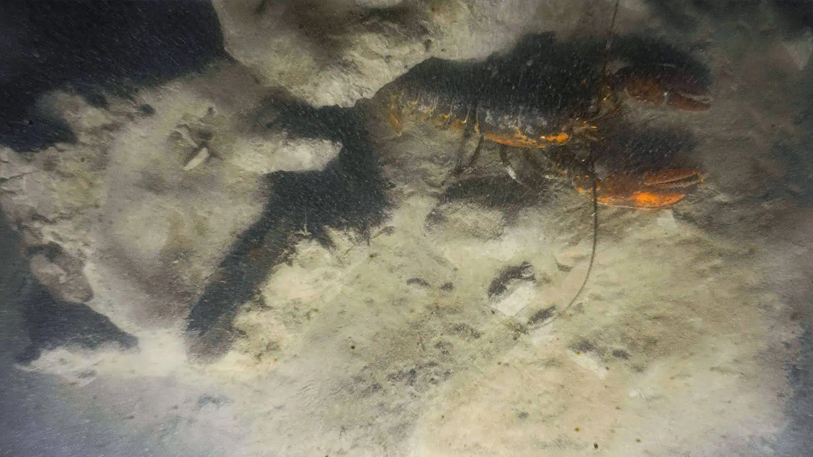
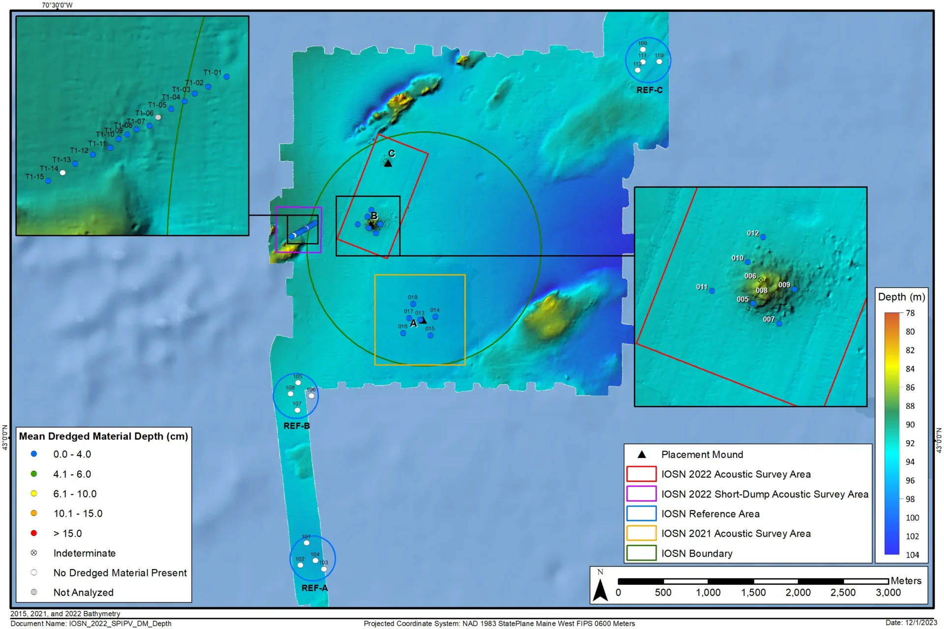
INSPIRE led baseline surveys to support the designation of the Isle of Shoals North Disposal Site (IOSN) in Maine. This placement site was unique in its physical characteristics, situated in deep water, surrounded by rock features. INSPIRE conducted a baseline survey that included the collection of MBES to map seafloor topography prior to placement and SPI/PV imagery collection to provide baseline information about the benthic community. INSPIRE has led two comprehensive surveys at the Site (in 2021 and 2022) since the original designation.
Data Acquisition
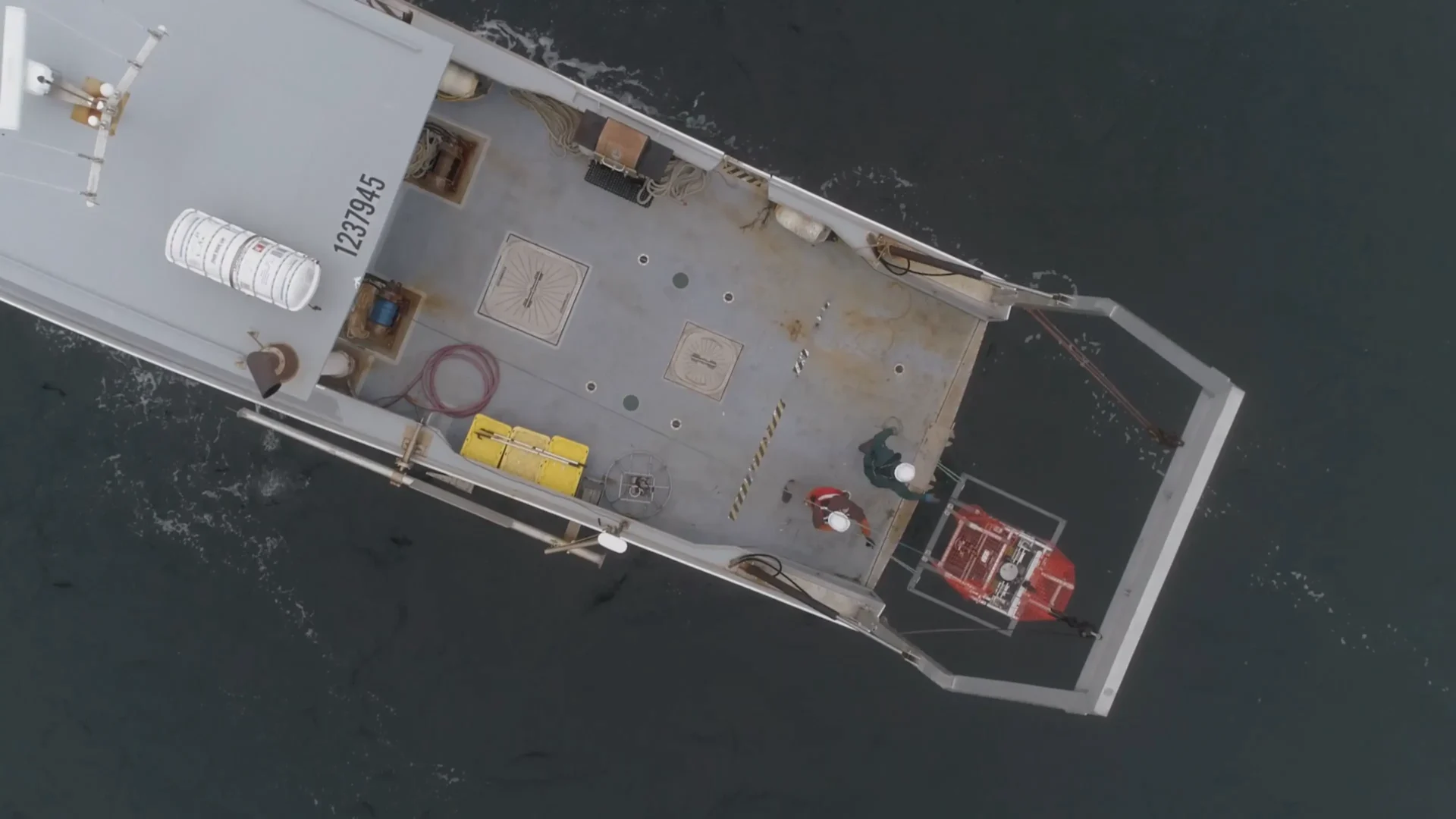
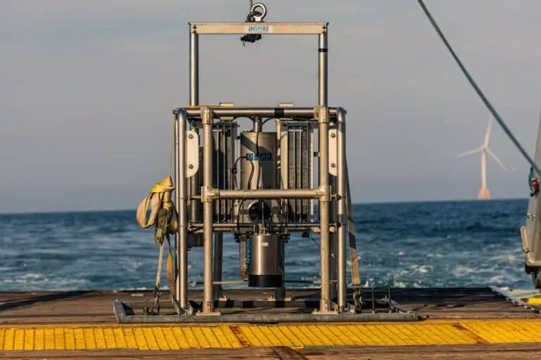
This USACE NAE IDIQ contract’s scope included the collection of 1) oceanographic data such as multibeam bathymetry and backscatter, as well as side-scan sonar, 2) SPI/PV imagery, and 3) offshore and nearshore sediment collection via grabs or vibracoring.
Analyses and studies under this contract included
1) sediment, water, and elutriate toxicity testing,
2) image analysis,
3) chemical analysis of sediment, tissue, and water samples,
4) suitability studies, and
5) cultural resource evaluations.
Technical Reports and Deliverables
To facilitate informed site management decisions for USACE NAE, INSPIRE employs our expertise to synthesize and present data in comprehensive reports and deliverables. We leverage our qualified scientific team who have developed innovative data collection methodologies, including SPI/PV “Pogo” sampling, which enables rapid and focused assessments of targeted areas of interest. Our web-based Popup Maps developed for each New England dredged material placement site are user-friendly and visually engaging and play a pivotal role in aiding site management for the USACE NAE and EPA Region 1.
Health and Safety
INSPIRE maintained its adherence to a strong health and safety culture, with no reportable incidents (either injury to personnel or harm to the environment) across all of the offshore surveys carried out under this contract. Under recent PWSs, INSPIRE’s HSSE and Vessel Assurance Manager worked closely with USACE NAE staff to develop an inventory of approved vessels capable of supporting survey needs thereby reducing costs and increasing efficiency.
Disposal Area Monitoring System (DAMOS)
Members of the INSPIRE Team have been involved in DAMOS Program confirmatory and focused monitoring surveys for over 30 years. The DAMOS Program addresses the monitoring and management requirements for offshore dredged material placement sites within the USACE NAE footprint under MPRSA and for other sites under the Clean Water Act (CWA). The Program utilizes a Tiered Monitoring Protocol, developed by legacy INSPIRE Team scientists, to apply the sediment evaluation framework guidance from the Ocean Testing Manual (OTM; EPA/USACE 1991).
Since INSPIRE’s inception in 2015, our scientists have taken part in integrated geophysical and SPI/PV surveys, sediment and tissue chemistry studies, specialized benthic studies (hard bottom habitat monitoring protocols), data analysis and data review, and reconnaissance surveys for site evaluation and expansion.
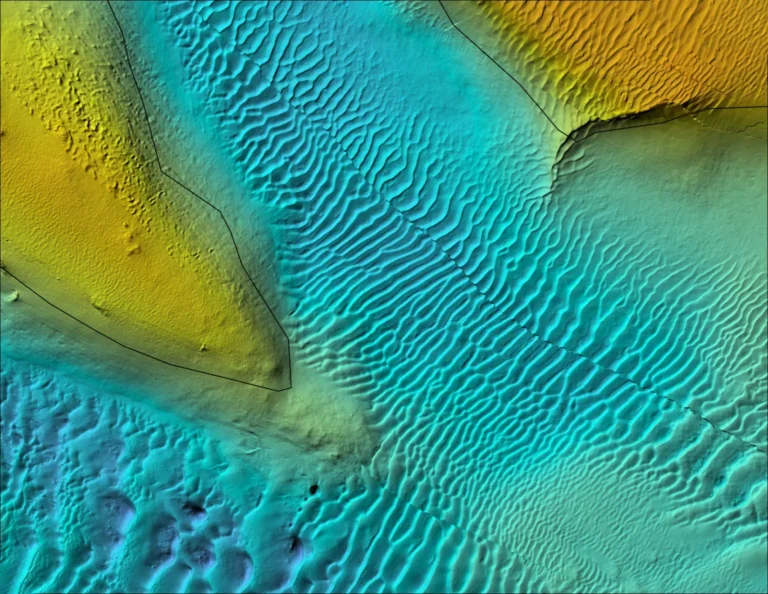
In our most recent contract, INSPIRE played a central role in facilitating the production of highly impactful maps layering bathymetry, backscatter, side-scan sonar, and benthic habitat data. We have adeptly translated this information into clear and compelling publicly available DAMOS Contributions and Data Summary Reports, which synthesize the suite of data for each site and make recommendations for effective management of the site. DAMOS Contributions are public documents that disclose the USACE NAE’s site management to the public and other governing entities and are a product of a multi-disciplinary effort across organizations.
Public Engagement Video Production
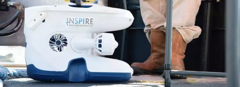
In a collaborative effort to revitalize the USACE’s public outreach endeavors, INSPIRE joined forces with a team of skilled audio/visual engineers to capture high-quality photographs and videos that showcased the DAMOS survey techniques in action, these proficient photographers and videographers accompanied our field team on multiple offshore surveys, working closely with both scientists and vessel crew members. The audio/visual team skillfully documented the safe deployment, recovery, and processing of various sampling gear, including SPI/PV, sediment grab, tissue trawl, and acoustic equipment. This footage serves as a powerful tool to help the public gain a deeper understanding of the Programmatic objectives and the commitment to the environment in managing the DAMOS offshore placement sites.
The result of the collaboration has been the creation of the first in a series of compelling outreach videos that is prominently featured on the USACE NAE’s public-facing website. This first video effectively communicates the importance of the DAMOS Program and sheds light on the technical aspects involved. INSPIRE is currently working on additional outreach videos that will delve further into the technical nuances under the current contract, bolstering our commitment to comprehensive public engagement.
Cultural Resources and Beneficial Uses
Under INSPIRE’s Environmental Services contract, small business team member Public Archaeology Laboratory (PAL) conducted an archaeological survey in accordance with the Secretary of Interior’s Standards and Guidelines for Archaeology and Historic Preservation. The archaeological survey was conducted on Stratton Island in Maine at the site of a previously recorded Native American archaeological site.
The USACE NAE planned to mitigate coastal erosion along one of the shorelines of Stratton Island by beneficially using dredged sediment from a local dredging project. At the time of the survey, only a thin dune barrier existed between a freshwater pond on the island and the gravel beach shoreline, where erosion was occurring, which limited the nesting habitat for approximately 240 species of birds. The placement of dredged material for beneficial use was subject to review under Section 106 of the National Historic Preservation Act. Section 106 requires that all federal agencies consider the effect of their undertaking on cultural resources listed or determined eligible for listing in the National Register of Historic Places.
The survey included the excavation of seventeen 50 x 50-foot (ft) test pits along two linear transects and resulted in eighteen post-contact artifacts discovered during subsurface testing. All materials were processed and recorded in accordance with the Federal Standards and Guidelines for Archaeology and Historic Preservation. In a successful collaboration with the Maine Audubon Society, INSPIRE leveraged their vessel to facilitate transportation for the PAL archaeology team to the small island located off the coast of Maine. Through this partnership, INSPIRE ensured a safe and efficient on-water transport solution while carefully navigating sensitive permitting windows to protect nesting bird species. Following the completion of the survey, INSPIRE generated a full field report as the initial deliverable. In addition, a detailed technical report highlighting the archaeological findings was produced as the final deliverable. These reports documented survey results and allowed targeted consideration of archeological resources to support the beneficial use of dredged material.

