Attentive Energy Export Cable Routes Forward Scouting
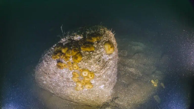
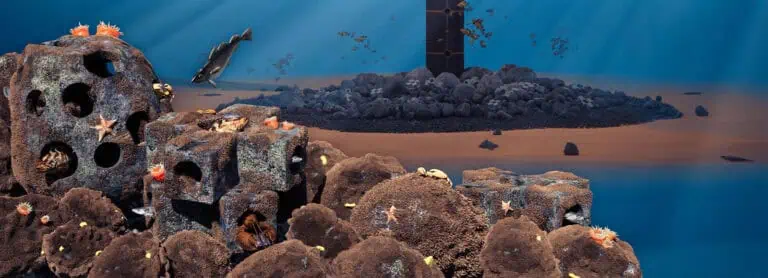
INSPIRE, in collaboration with our partner XOCEAN, conducted a Forward Scouting benthic assessment survey along proposed export cable routes (ECRs) for a wind farm to be proposed within the Attentive Energy Lease Area (OCS-A 0538). Forward Scouting is an adaptive surveying technique designed to de-risk the cable routing selection process through a flexible survey design that is adjusted in situ as data are acquired and assessed against the overall project objectives. This approach provides critical information to facilitate permitting and save the project resources (time and money) associated with the geophysical and geotechnical survey of the proposed ECRs. The goal of this survey was to identify features of concern: areas of the seafloor with features that could present impediments to construction (e.g., bedrock) or to permitting approvals (e.g., complex habitat, species of concern). Complex habitats are characterized by stable gravel surfaces that generally support settlement and growth of attached fauna, providing higher habitat value for these taxa, as well as for demersal fish species (gravel includes particles sizes from pebble to boulders). These types of habitats are a focus of reviews by the Bureau of Ocean Energy Management (BOEM) and essential fish habitat (EFH) consultation by the National Oceanic and Atmospheric Association (NOAA) Fisheries Habitat Division. The presence of any commercially important species (e.g., scallops) is also of potential concern, along with any sensitive taxa.
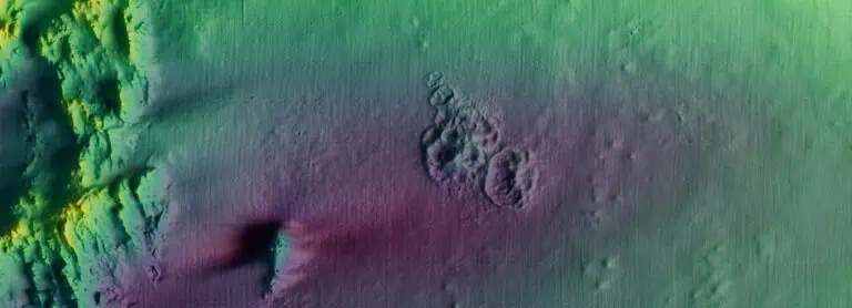
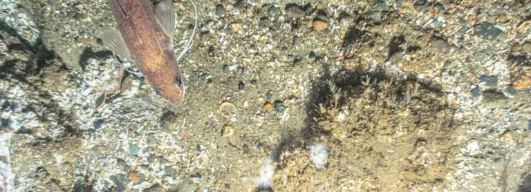
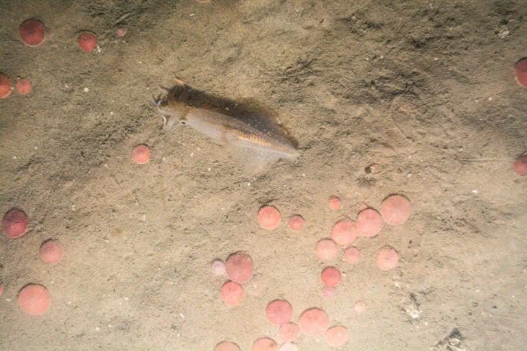
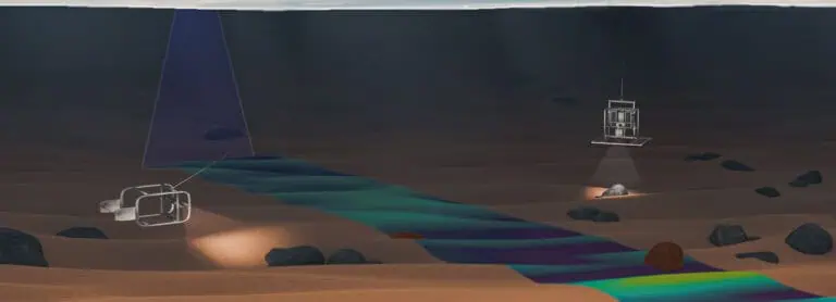
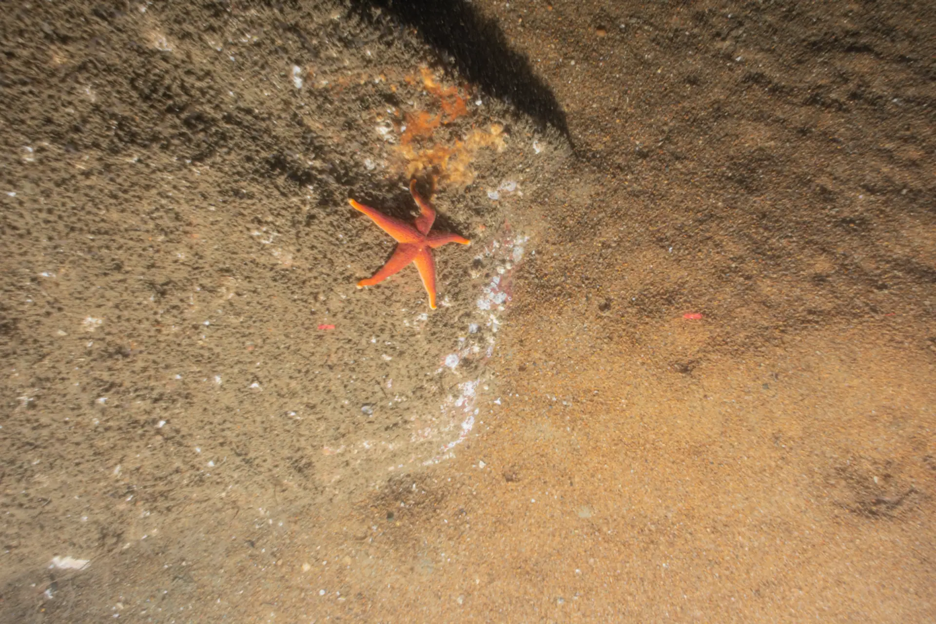
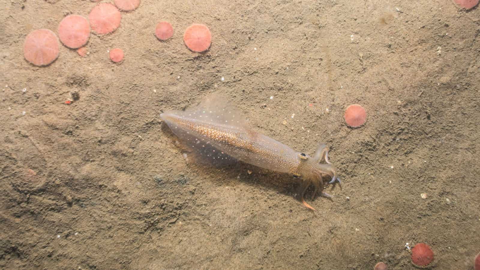
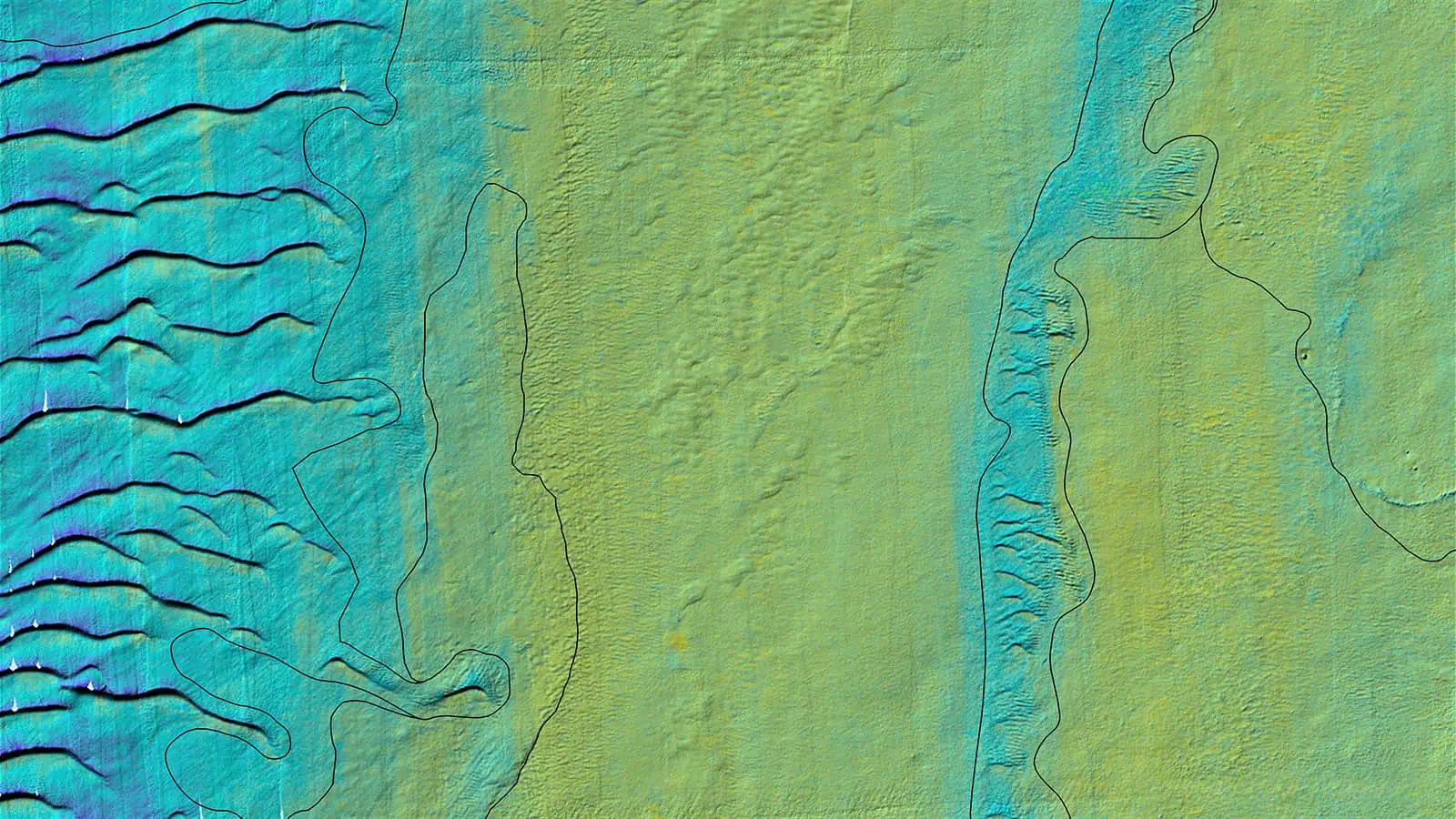
The Forward Scouting survey was conducted utilizing combined Sediment Profile and Plan View Imaging (SPI/PV) and reconnaissance multibeam echosounder (MBES) from unmanned surface vessels (USVs). The SPI/PV portion of the survey was conducted at stations along the proposed ECRs and “Pogo” PV were adaptively collected in rapid succession at a higher spatial resolution along portions of the proposed ECRs that were identified as presenting potential routing concerns. The use of Pogo PV refers to rapidly lowering the SPI/PV system to collect a series of individual high resolution plan view images (not replicates) to provide higher spatial coverage of suspected complex habitat. A total of 331 SPI/PV stations and 105 Pogo PV locations were sampled along the proposed ECRs. Reconnaissance MBES was conducted along the proposed ECRs and in potential areas of environmental constraints indicated by the SPI/PV survey. The reconnaissance MBES surveyed 1895.29 km of line, including the adaptive sampling area around the lease area.
The SPI/PV data were used to ground-truth the geophysical MBES data and provide useful information on seafloor characteristics related to geophysical acoustic signatures recorded in the MBES data for the area surveyed. Backscatter results from the MBES were presented in a memo to the client alongside SPI/PV data and imagery. Backscatter data are often a screening tool used by NMFS in their review of geophysical data, with areas of high relative backscatter return flagged as indicating the potential presence of complex habitat. Ground-truth imagery data are critical in properly characterizing and, as appropriate “de-risking”, these areas flagged as a potential permitting concern to NMFS.
In support of the stated need of Attentive Energy for early planning and decision making, a summary assessment was provided of the Forward Scouting survey highlighting potential conflicts along proposed ECRs that Attentive Energy can use in decision-making regarding route selection. Attentive Energy may also want to consider conducting additional benthic data collection efforts, with video or Pogo PV, in areas highlighted in the results as potential areas of concern or conflict. The proposed ECRs were given unique labels to aid in their identification and were used in the memo to support the identification of conflicted areas. Upon completion of the Forward Scouting survey, INSPIRE provided recommendations to Attentive for the ECRs based on the finding of the survey.

