Coastal Virginia Offshore Wind Pilot Project Foundation Monitoring
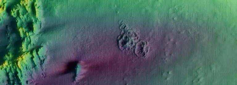
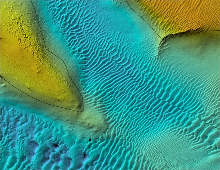
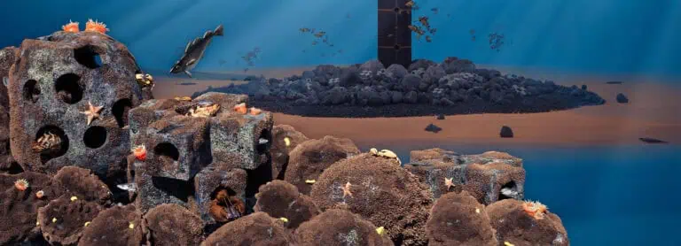
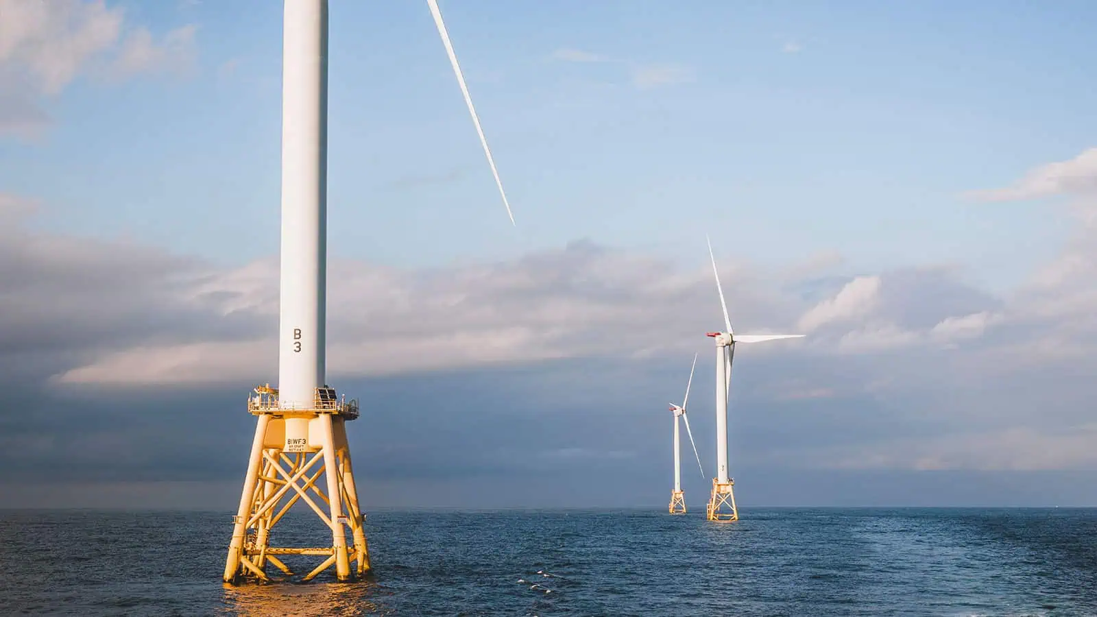
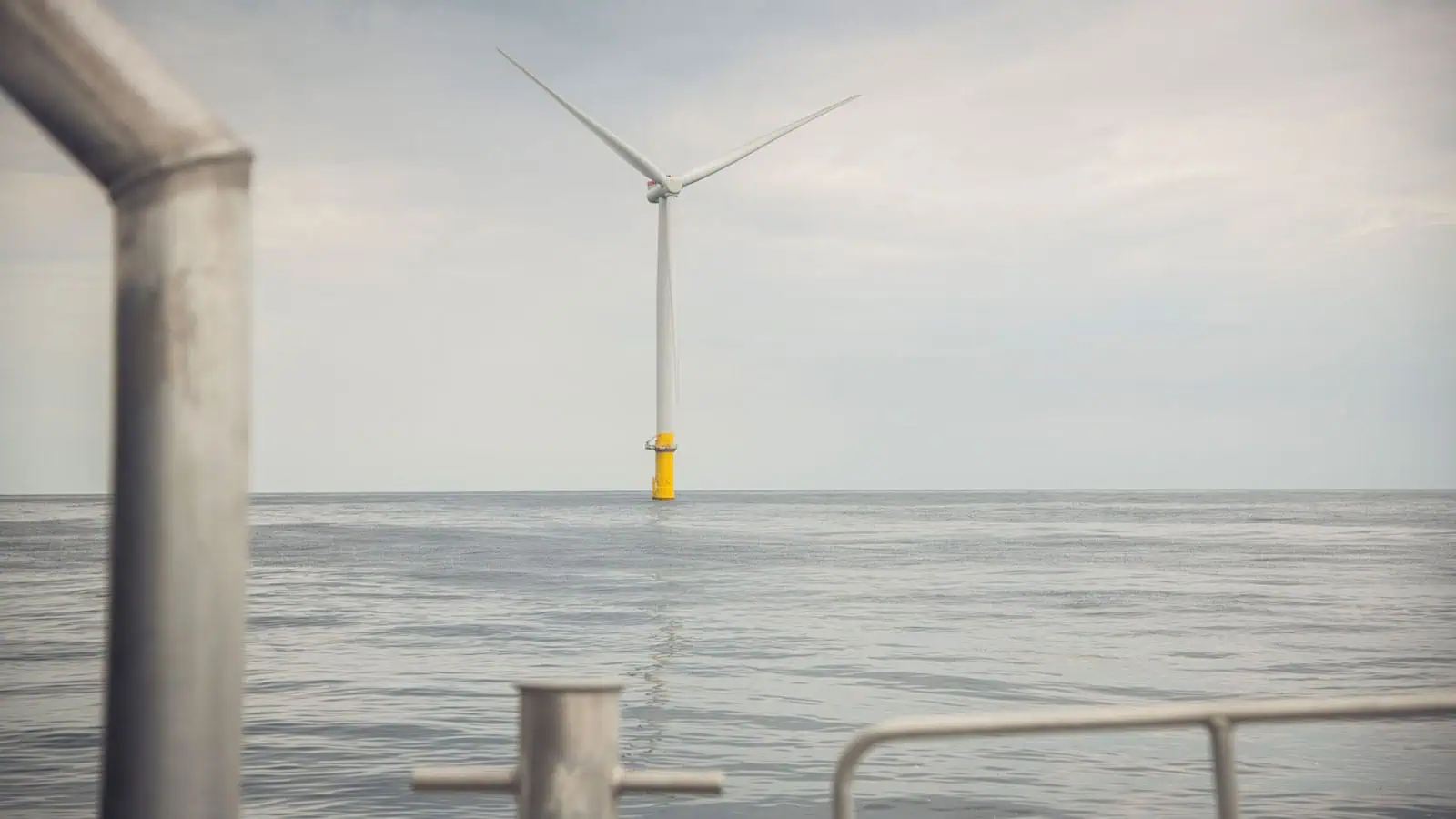
The Coastal Virginia Offshore Wind (CVOW) Pilot Project consists of two 6-megawatt offshore wind turbine generators (WTG), located approximately 27 miles east of the city of Virginia Beach, Virginia in water depths up to 24 m (79 ft). The turbines are the first to be installed in United States federal waters. The Pilot Project will be used to advise the planned future development of large-scale offshore wind in the adjacent Virginia Wind Energy Area leased by Dominion Energy. As part of a larger team, INSPIRE surveyed marine growth above and below the waterline. The surveys documented and identified marine growth at both monopiles with high-resolution still and video imagery. Above waterline surveys included the splash zone and intertidal zone. Below water line surveys included monopile surfaces, scour protection layer, and surrounding sediments.
Foundation Monitoring Surveys
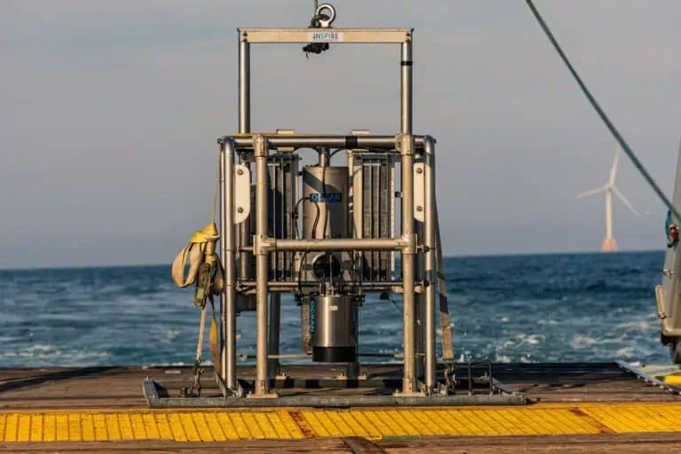
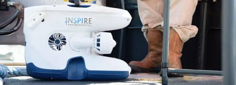
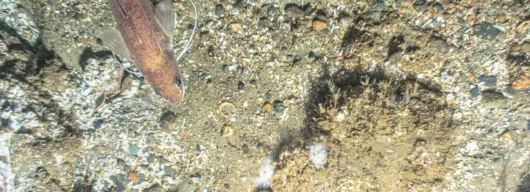
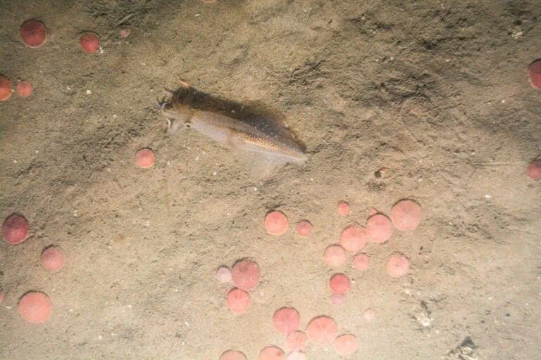
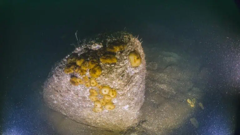
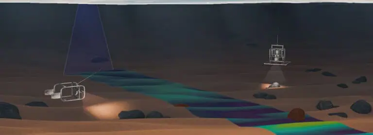
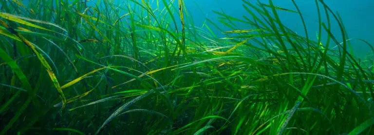
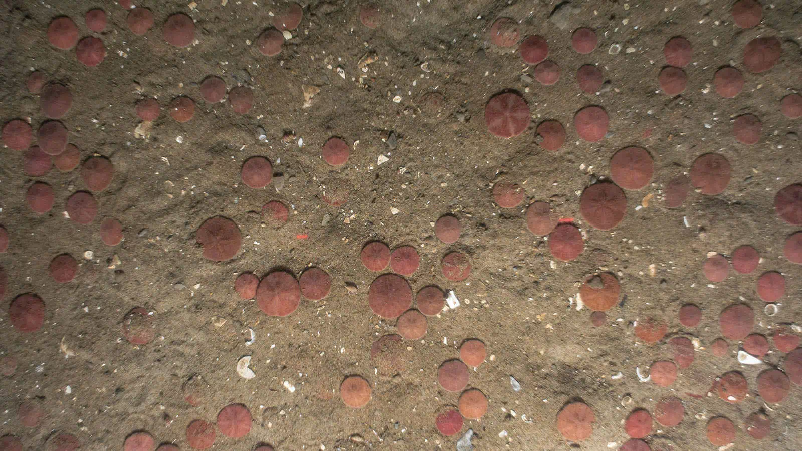
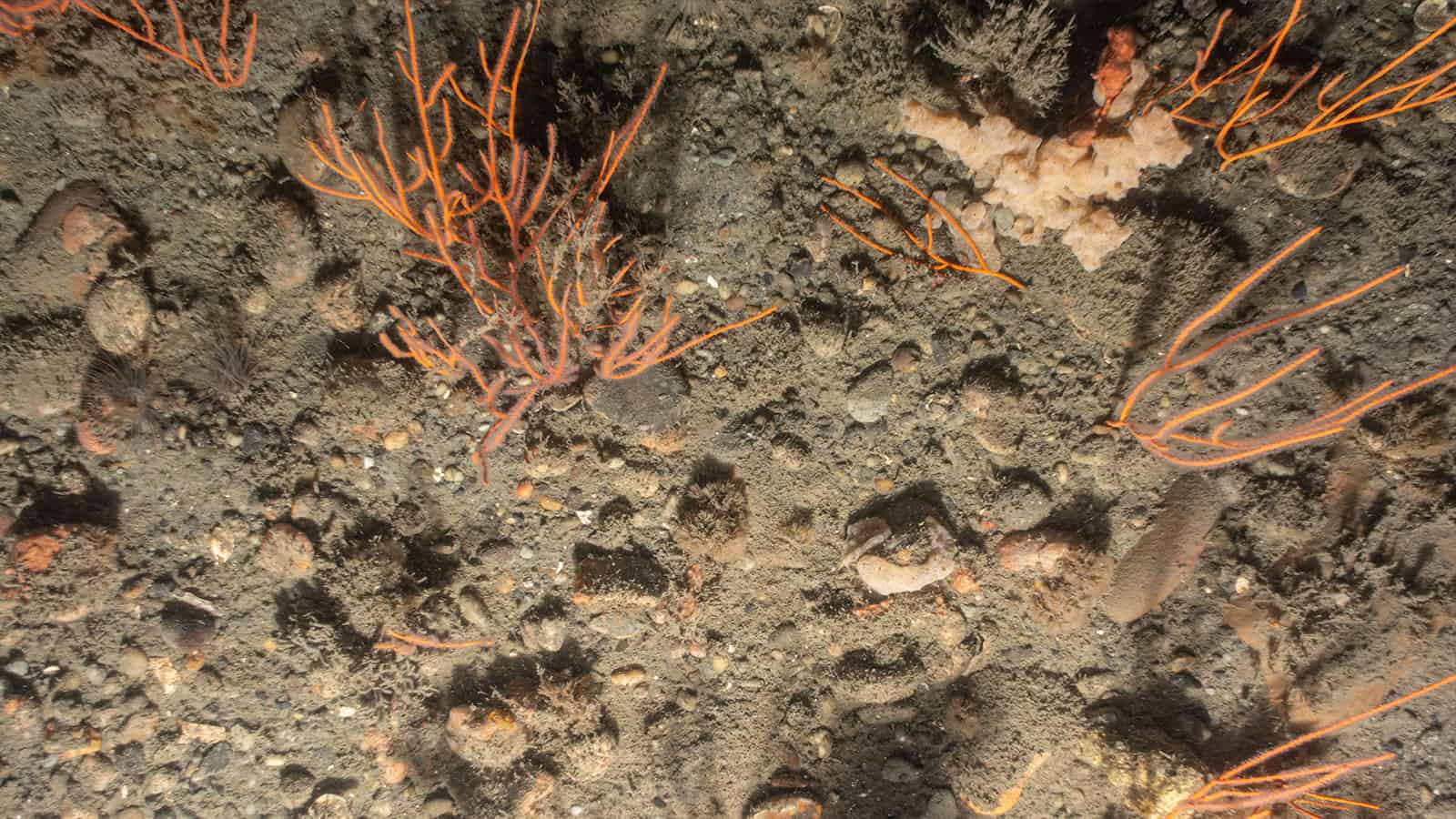
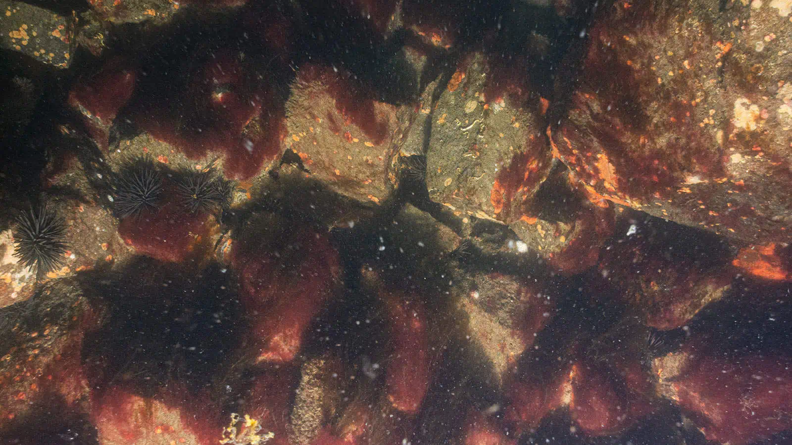
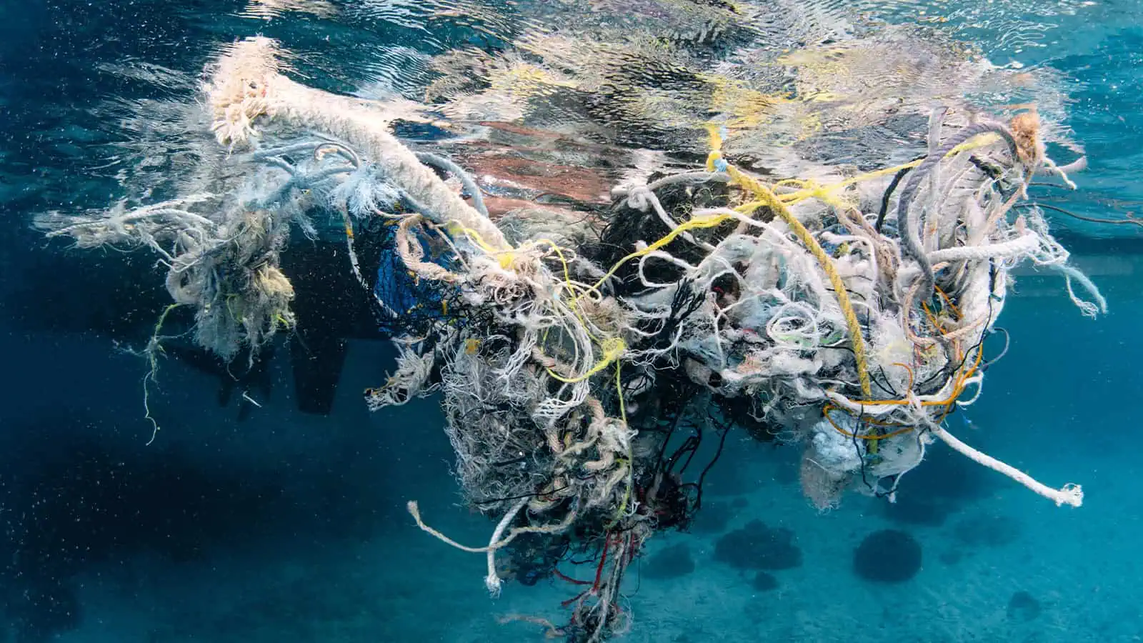
To complete the below waterline surveys, INSPIRE collected high-resolution still and video imagery to evaluate marine biota in three regions: monopile surfaces, the scour protection layers, and sediments surrounding each monopile. INSPIRE completed the first survey in 2020, and since completed surveys in 2022, 2023, and 2024. The survey employed a small underwater drone to characterize the monopile surfaces and scour protection layers, and surrounding sediments using SPI/PV. The surveys captured the condition of the structure, the amount and composition of marine growth, the fish community, the presence of ghost gear, and the presence of epifauna and infauna.
Marine Growth Technical Reporting
INSPIRE delivered data reports for each year of monitoring. These reports identified the presence of regulatory targets and evaluated two components of marine growth: abundance and diversity. Metrics of abundance includes linear extent, percent cover, and taxonomic shifts with implications for thickness. For diversity, the report describes richness, which is the number and identity of unique taxa. Using these two components of marine growth, the reports highlighted spatial (e.g., vertical zonation) and temporal (i.e., successional change) patterns. These patterns depend on the interaction between physical and biological factors. For example, light attenuates with depth, which can lead to vertical, spatial patterns in algal abundance. Also, community succession typically begins with fast-growing, early colonizers, and later, transitions into longer-lived, later colonizers.

