Empire Wind Offshore Wind Project
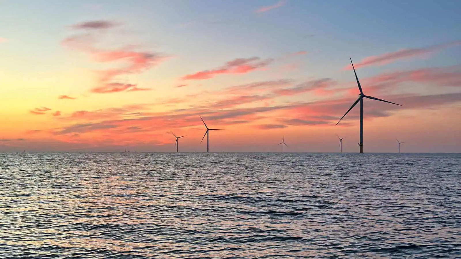
Empire Wind is a fully permitted offshore wind farm that required myriad federal and state permits, federal and state environmental impact analyses, and complicated siting and design decisions due to environmental and engineering constraints. The project is also subject to intense public scrutiny from a wide array of interested parties. Empire Wind is located 15-30 miles southeast of Long Island, NY and spans 80,000 acres, with water depths of between approximately 75 and 135 feet. Equinor acquired a lease from BOEM in 2017. The project’s two phases, Empire Wind 1 and 2 (EW 1 and EW 2), have a potential capacity of more than 2 GW, enough to power over 1 million New York homes. INSPIRE conducted the benthic assessment investigation of several potential export cable routes to support spatial planning decisions, reduce uncertainty associated with baseline conditions, and inform future approaches to quantify changes in the benthic community associated with proposed project activities. INSPIRE has also drafted and is implementing benthic and fisheries monitoring for Empire Wind. Empire Wind recently contracted INSPIRE to complete a benthic habitat mapping assessment to support construction compliance.
Site Assessment and Siting Support (SPI/PV and Sediment Grab Sampling)
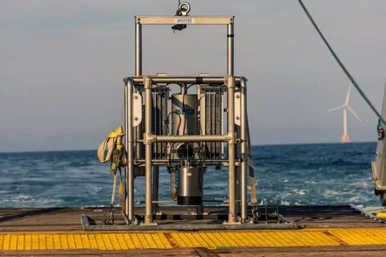
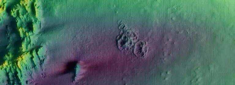
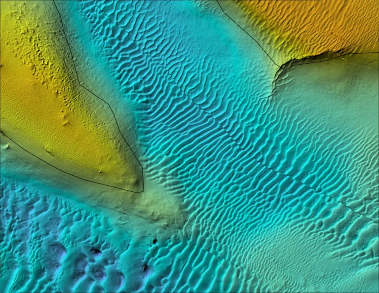
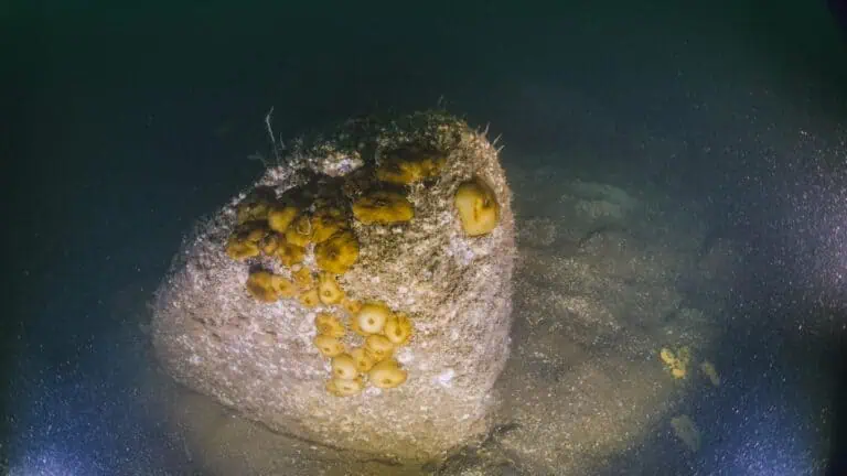
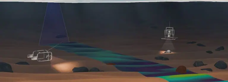
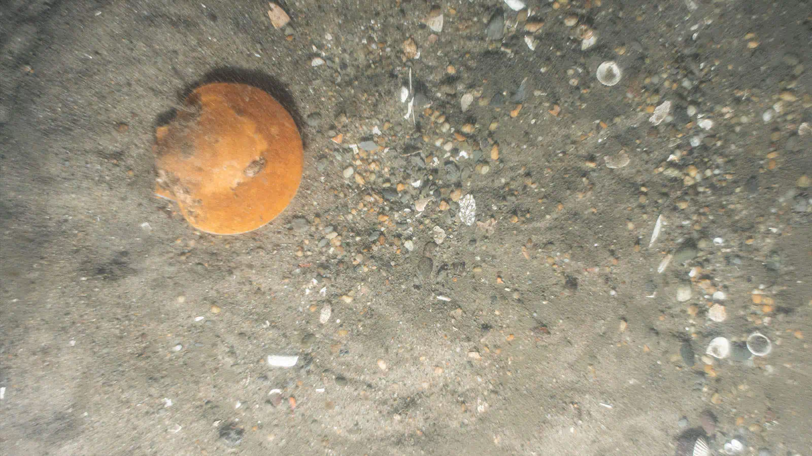
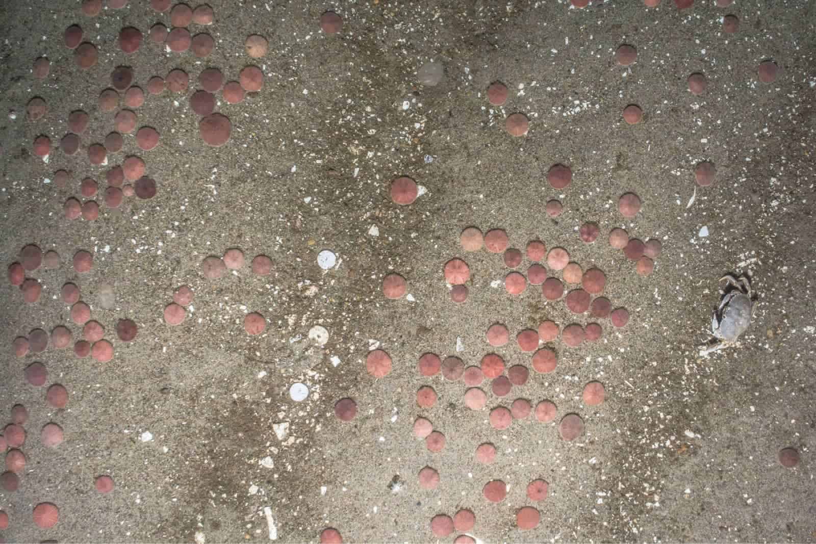
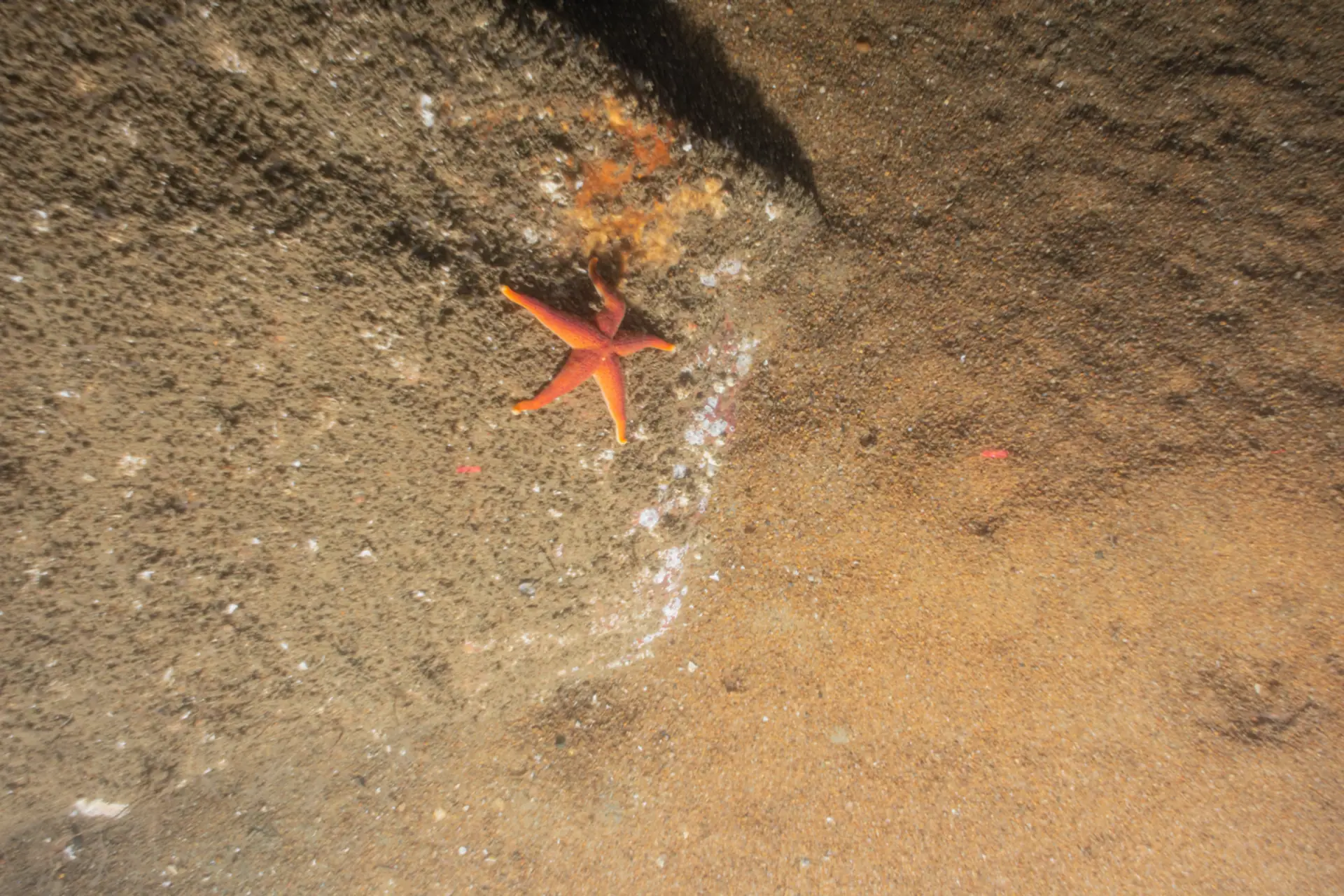
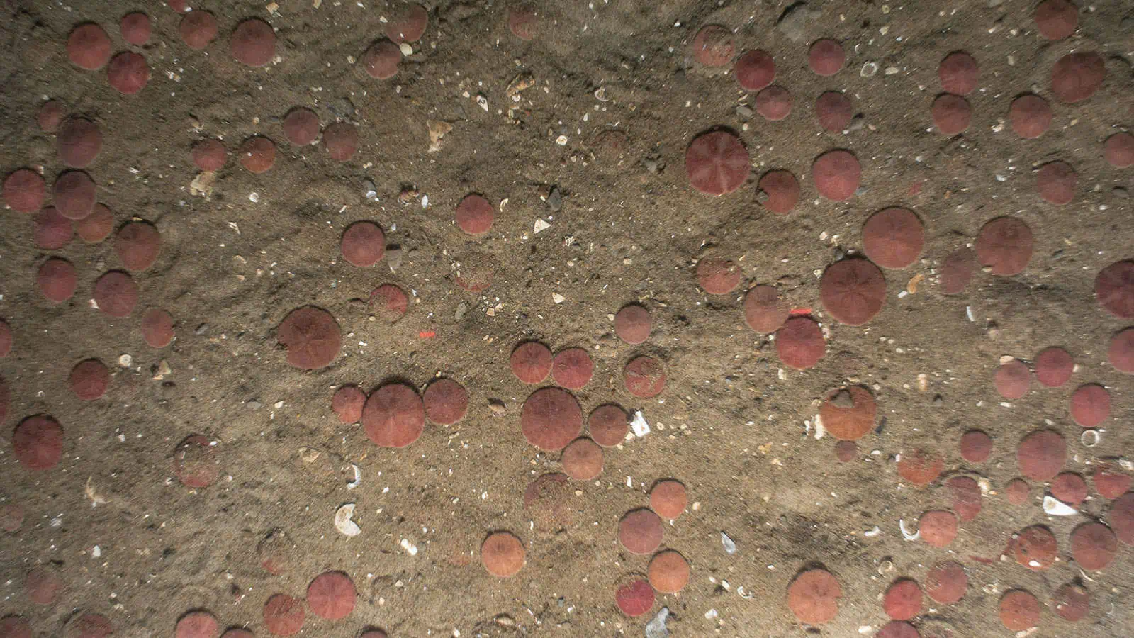
INSPIRE conducted a SPI/PV and sediment grab survey at potential export cable routes for Empire Wind Farm in 2019. The survey established a baseline for the benthic resources and shellfish assessment and informed geotechnical and geophysical site characterizations. INSPIRE led the field collection of SPI/PV images and sediment grab samples and analyzed the results to assess communities of benthic species and sediment characteristics in the project area. The SPI/PV image analysis followed CMECS as applicable. The SPI/PV sediment data were found to correspond well with U.S. Geological Survey backscatter and were used to ground-truth the backscatter data. The sediment grab samples were analyzed for grain size distribution by Aqua Survey, Inc. and sediment grab results were found to be similar to sediment types determined from SPI/PV.
INSPIRE Environmental developed an online and interactive webmap (i.e., platform) for use by Subject Matter Experts and the Client. The platform has a user-friendly interface that allows technical and non-technical users to easily vet, interact with, and interpret numerous spatial datasets for decision-making purposes. Because the platform can quickly visualize data form numerous data sources in an intuitive fashion, the platform is also an iterative tool that follows the project’s life cycle to facilitate all project activities from start to finish. Users can expect the same level of functionality throughout the project without having to spend time learning another geospatial tool, and being a cloud-based platform that queries data stored on a secure server, the platform can be accessed on any computer with an Internet connection, a modern browser, and appropriate set of login credentials. This cloud-based delivery system allows for the rapid and secure delivery of updated data and visualization features, ensuring the latest data are available for all users. For the purposes of this risk assessment, the spatial mapping application was created to provide the user an interactive tool for identifying risk across the proposed construction footprint. Data linked to the platform can be viewed as a companion to the risk decisions provided in the Risk Evaluation. Should new risk information become available, it can be added to the web application in real time to determine how it may or may not impact the project.
Benthic Assessment
INSPIRE delivered an interpretive report including a benthic assessment and sediment grab results characterizing the seafloor along the proposed export cable routes (EW 1 New York state waters). INSPIRE also delivered a Popup Map to visualize SPI/PV data and images in comparison to geophysical data to aid in planning and decision making and communication with regulators.
New York State Permitting Support: INSPIRE supported the Article VII process for EW 1 cable route permitting. Specifically, INSPIRE developed a benthic monitoring plan within NY state waters for EW 1 in accordance with the NY state permit conditions agreed upon during Article VII discussions. This NY state benthic monitoring plan incorporates the collection of a combination of benthic data types along the EW 1 cable route prior to construction and post construction including SPI/PV imagery, sediment grab sample collection and analysis for chemical constituents, grain size, and benthic community analysis.
Fisheries and Benthic Monitoring
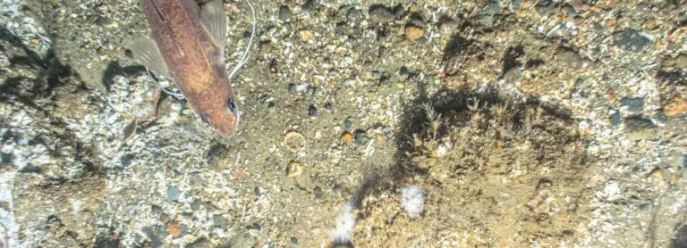
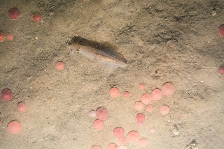
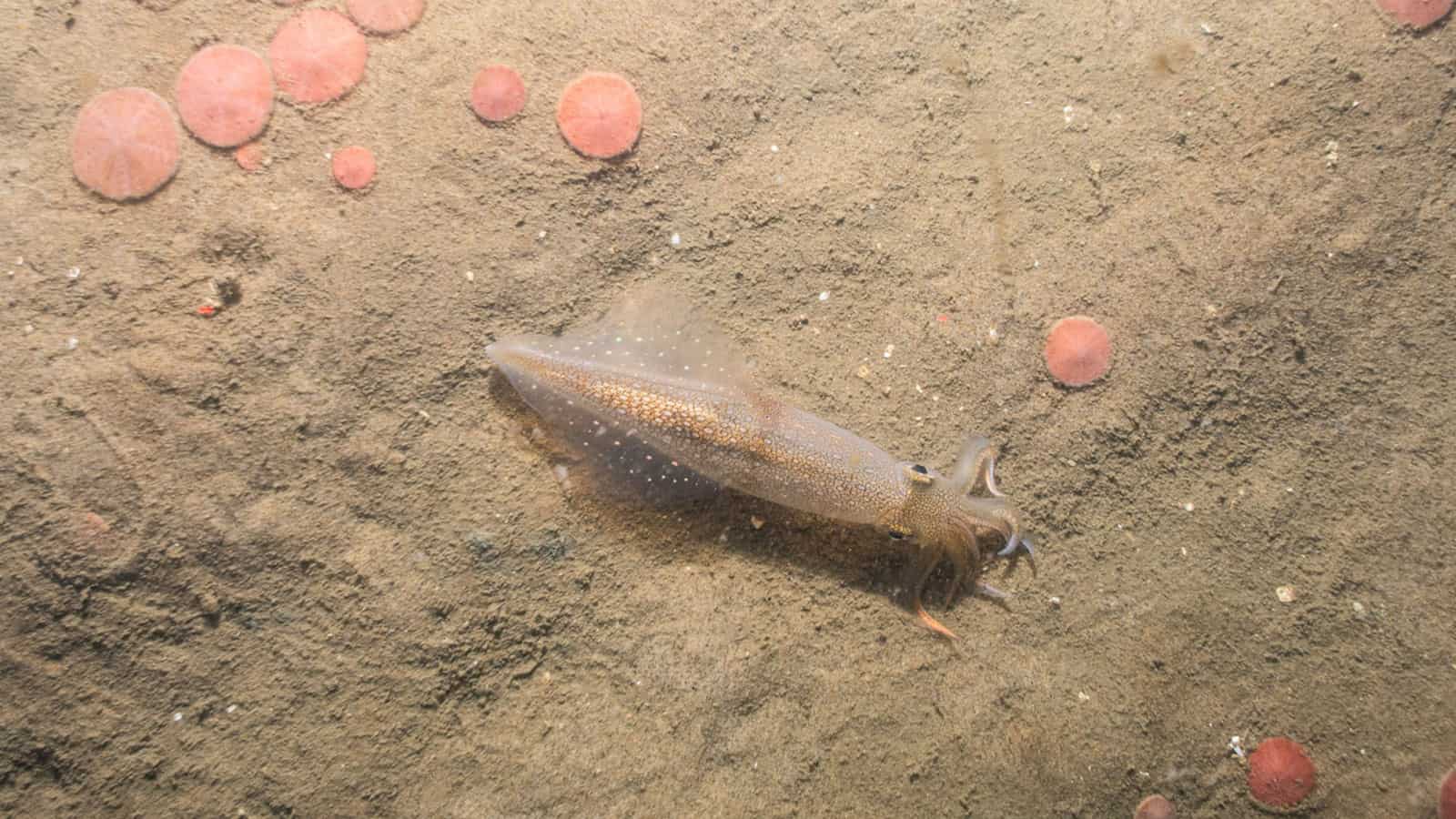
INSPIRE developed a Fisheries and Benthic Monitoring Plan in 2023 in accordance with recommendations made by BOEM Guidelines for Providing Information on Fisheries for Renewable Energy Development on the Atlantic Outer Continental Shelf (BOEM 2019). The plan outlines a survey effort to document the diversity, distribution, and abundance of fish species and benthic conditions in the Empire Wind lease area during pre-construction, construction, and post-construction periods using a combination of Environmental DNA (eDNA) and Baited Remote Underwater Video (BRUV) systems with stereo-video camera sampling techniques, acoustic telemetry, plan view imaging (for scallops), SPI/PV, hydrographic data, grab sampling and bottom trawl survey (for squid). The BRUV/eDNA seasonal surveys will employ a Before-After-Gradient (BAG) design to assess the community composition and relative abundance of fish species within the Empire Wind lease area between the proposed time periods.
Environmental Monitoring: INSPIRE partnered with Monmouth University in 2023 to implement an acoustic telemetry study to monitor species using transmitters and receivers. In addition, INSPIRE and Monmouth University have implemented BRUV and eDNA monitoring to be continued quarterly through all phases of the project. INSPIRE has also implemented scallop and squid trawl surveys in the lease area.
INSPIRE has conducted the first of several benthic surveys for Empire Wind’s benthic monitoring program. Sampling included SPI/PV, water column conductivity, temperature, and depth profiles, sediment grab sampling for grain size, benthic community analysis, chemistry analyses, and surficial sediment temperature measurements to establish baseline conditions.
New York State Permitting Support
INSPIRE supported the Article VII process for EW 1 cable route permitting. Specifically, INSPIRE developed a benthic monitoring plan within NY state waters for EW 1 in accordance with the NY state permit conditions agreed upon during Article VII discussions. This NY state benthic monitoring plan incorporates the collection of a combination of benthic data types along the EW 1 cable route prior to construction and post construction including SPI/PV imagery, sediment grab sample collection and analysis for chemical constituents, grain size, and benthic community analysis.

