Towed Video Surveys
Towed Video Surveys are an effective approach to characterize the seafloor at discrete locations, and to map the spatial extent and nature of complex habitats. These surveys often augment the point data collected from planned station locations through continuous data collection over a defined area.
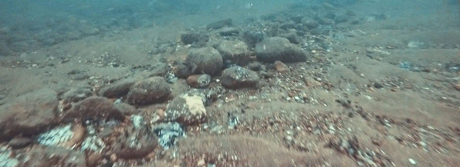
INSPIRE has extensive experience in the execution of towed video surveys in support of offshore wind development. INSPIRE often uses towed video for adaptive sampling to supplement our SPI/PV surveys.
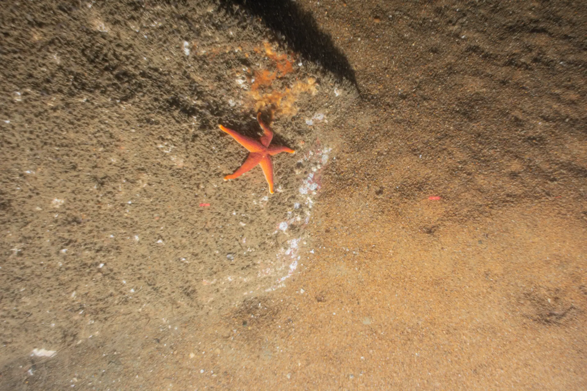
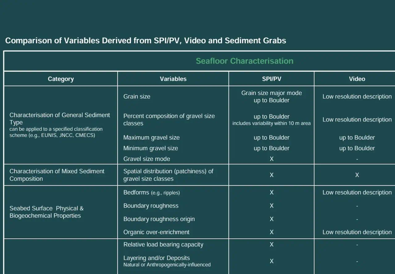
A video sled with accompanying LED lights and a scaling laser is towed for the length of a designated transect(s) in order to document benthic conditions on the sediment surface. The video data is analyzed to characterize the surficial sediments including documenting the presence of any sensitive taxa in the area.
In this approach, a survey design is executed with SPI/PV at planned station locations. When seafloor habitat characteristics are encountered (identified from real-time review of SPI/PV imagery) that could trigger flexible/additional sampling effort (e.g., identification of sensitive, rare, or unexpected species/habitat), towed-video is used to spatial delineate the seafloor habitat at a greater resolution then the planned design.
Towed Video
Towed video systems can cover large areas of the seafloor efficiently, making them ideal for surveys that require extensive spatial data.
Towed video systems allow for the observation and documentation of benthic habitats without physically disturbing them, preserving the natural environment.
These systems can capture high-resolution video footage, providing detailed visual data that can be used for species identification, habitat mapping, and monitoring changes over time.
Video footage can be analyzed for a wide range of ecological parameters, including habitat structure, species distribution, abundance, and behavior, providing a comprehensive view of benthic ecosystems.
Towed video systems provide real-time video feed, allowing scientists to make on-the-spot decisions during the survey and adjust their approach based on what they observe.
Since the same transects can be resurveyed using the same method, towed video allows for long-term monitoring and comparison of benthic communities over time.
Other Services
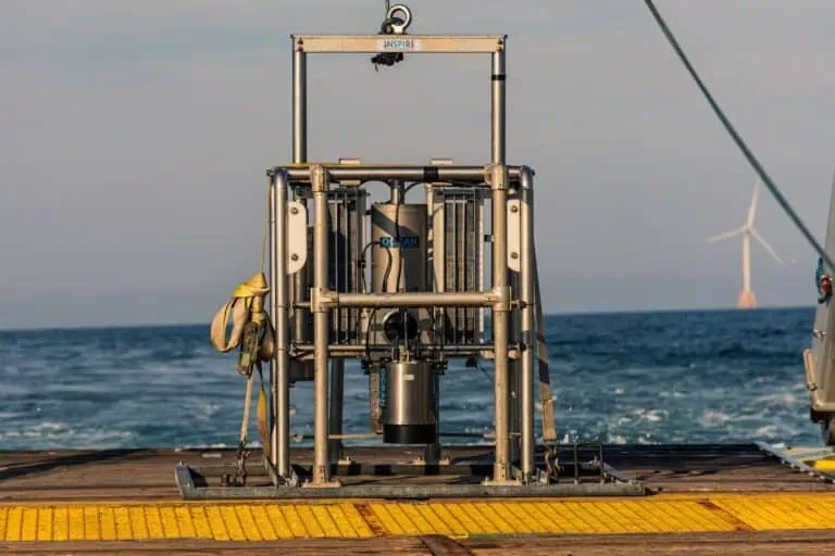
Sediment Profile Imaging/Plan View (SPI/PV) Surveys
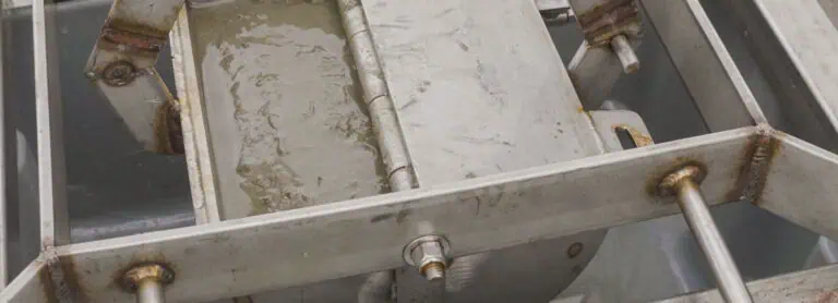
Sediment Grab Sampling
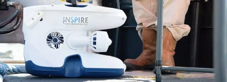
ROVs, High Resolution Video & 3D Photogrammetry
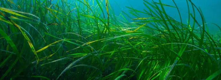
Submerged Aquatic Vegetation Surveys
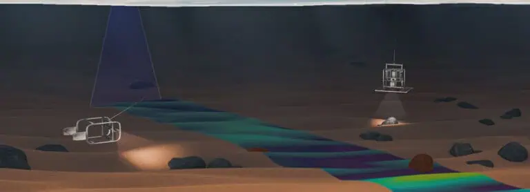
Forward Scouting
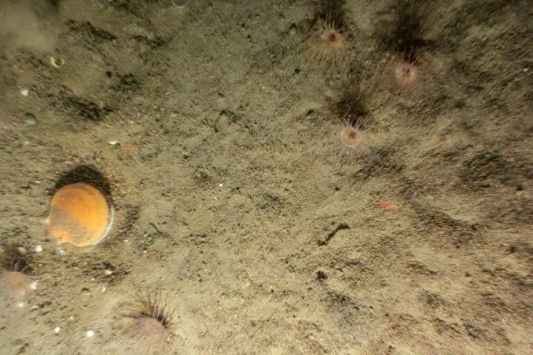
Benthic Resource Assessments
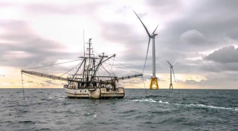
Trawl Surveys
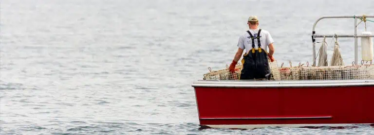
Trap and Fish Pot Surveys
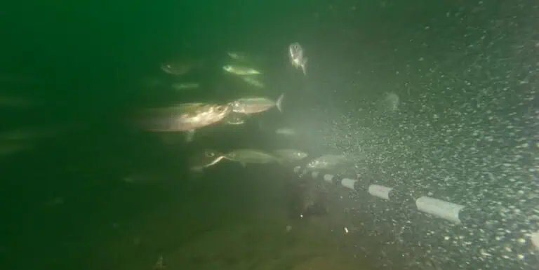
Baited Remote Under Water Video (BRUV) and Plan View (PV) Surveys

Environmental DNA (eDNA) Studies

