Submerged Aquatic Vegetation Surveys
Submerged Aquatic Vegetation (SAV) is an important habtiat that can present conflicts to development as export cable corridors (ECCs) approach landfall.
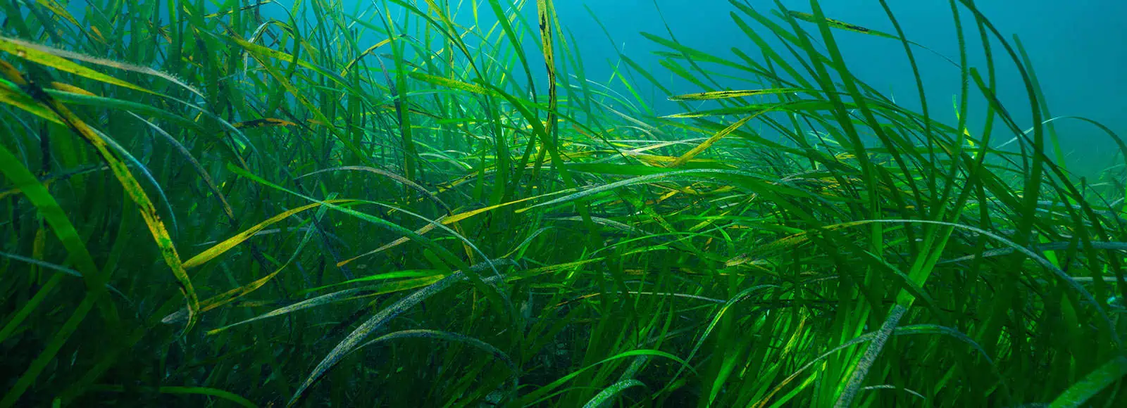
SAV mapping surveys spatially delineate the presence of SAV and derisk ECC planning and development nearshore.
SAV surveys are conducted in shallow nearshore waters during months considered the peak of the growing season for SAV. These surveys are executed on a nearshore vessel using our towed-video system along defined transects within the landing area project envelope from the shore to a defined depth/distance away from the shoreline (typically the maximum potential depth of SAV presence),
Throughout operations, continuous navigational data will be collected of the towed video sled’s position to accurately map the presence of SAV if observed. All imagery and navigation data from the SAV survey is reviewed for data quality and analyzed to document SAV presence/absence. Spatial maps depicting SAV extent are produced for planning purposes.
Submerged Aquatic Vegetation Surveys
SAV beds provide essential habitat for a wide range of marine organisms, including fish, invertebrates, and shellfish. Surveys help identify and map these critical habitats, informing conservation and management efforts to protect biodiversity.
SAV, such as seagrasses, are sensitive to environmental changes like water quality, nutrient levels, and sedimentation. Surveying SAV abundance and distribution helps assess the overall health of aquatic ecosystems and can serve as an early warning system for ecosystem decline.
SAV help stabilize shorelines and prevent erosion by trapping sediments and reducing the impact of wave action. Surveys help identify vulnerable areas that depend on these vegetative structures for coastal protection.
Many commercial and recreational fish species rely on SAV habitats for spawning, feeding, and nursery grounds. SAV surveys provide valuable information for managing fisheries and ensuring sustainable fish populations.
SAV play a crucial role in maintaining water quality by filtering nutrients and pollutants, stabilizing sediments, and promoting clarity. Monitoring SAV populations can help gauge the effectiveness of water quality improvement programs and detect areas where pollution is an issue.
Many SAV species, such as seagrasses, act as significant carbon sinks by storing carbon in their biomass and sediments. Surveying SAVs contributes to understanding their role in mitigating climate change through carbon sequestration.

The Nature Conservancy Webinar: Understanding Interactions Between Fish, Fish Habitat & Offshore Wind, featuring Dr. Annie Murphy, INSPIRE Environmental
Other Services
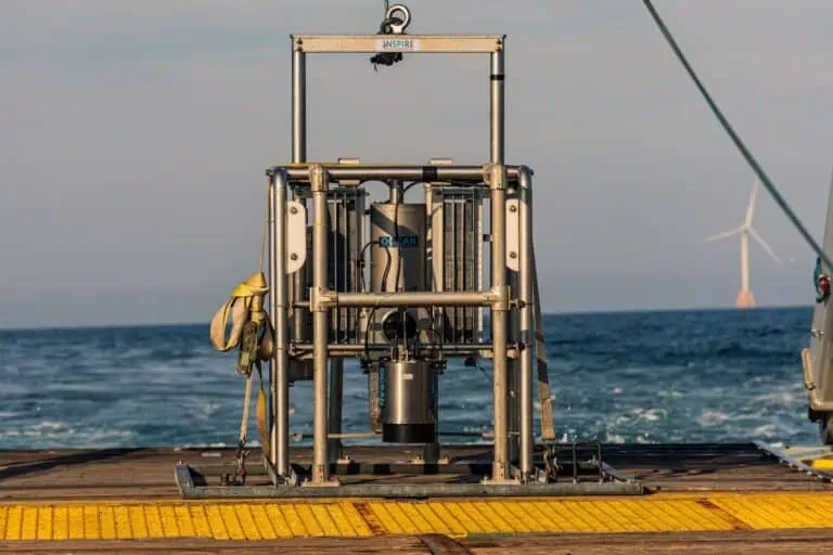
Sediment Profile Imaging/Plan View (SPI/PV) Surveys
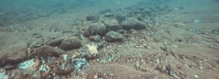
Towed Video Surveys
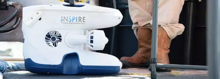
ROVs, High Resolution Video & 3D Photogrammetry
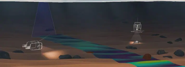
Forward Scouting
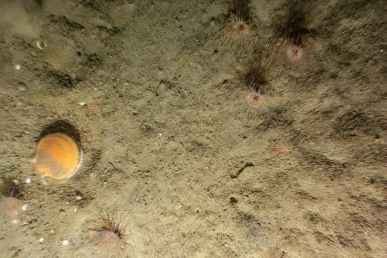
Benthic Resource Assessments
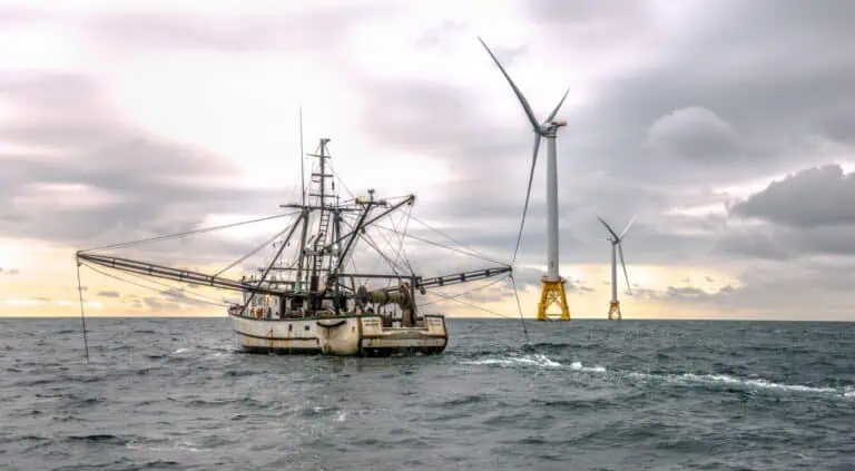
Trawl Surveys
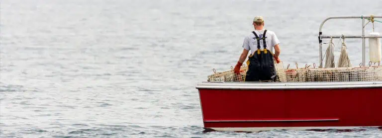
Trap and Fish Pot Surveys
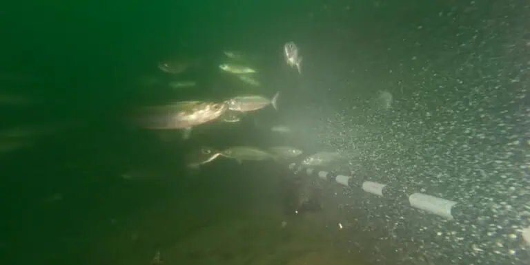
Baited Remote Under Water Video (BRUV) and Plan View (PV) Surveys

Environmental DNA (eDNA) Studies

