Contaminated Sediments

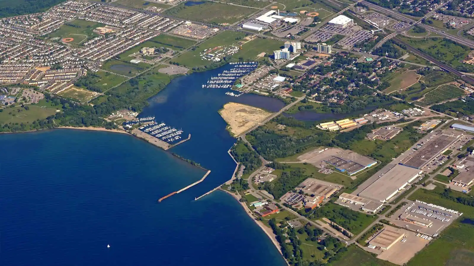
Refined Harbor Sediment Assessment, Port Whitby Marina, Canada

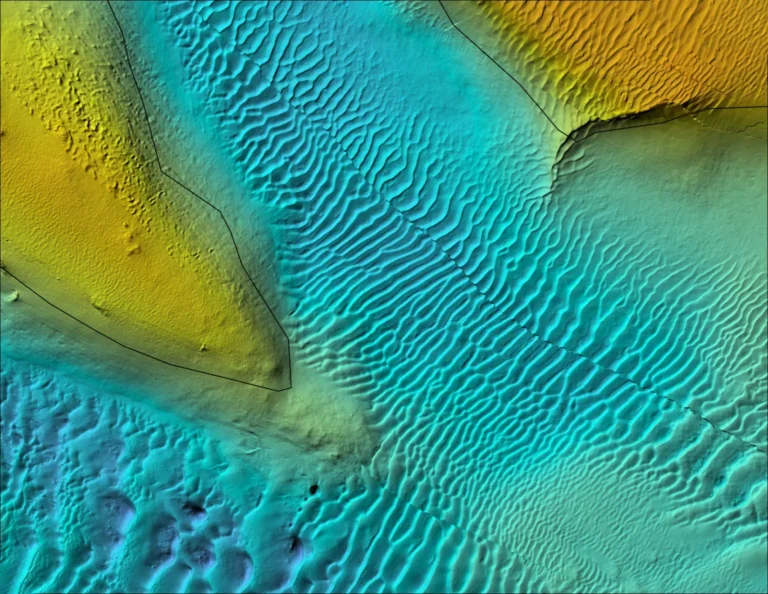
Located on a shallow natural harbor off Lake Ontario, Port Whitby Marina planned to remediate the harbor bed and requested refined sediment quality assessment to confirm or refute benthic health indicators from previous sediment toxicity tests. Port managers provided hotspot maps of chemical contamination for this legacy contamination site; INSPIRE was able to provide additional data and ecological analysis to refine conceptual remedial options.


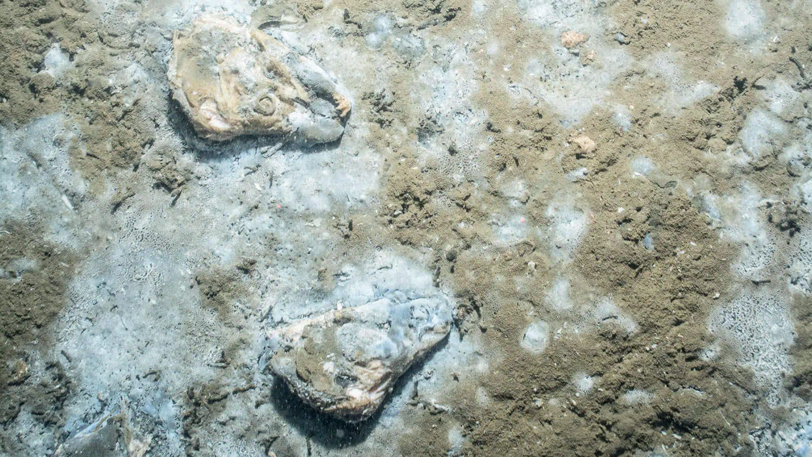
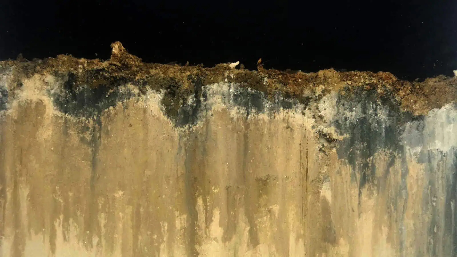
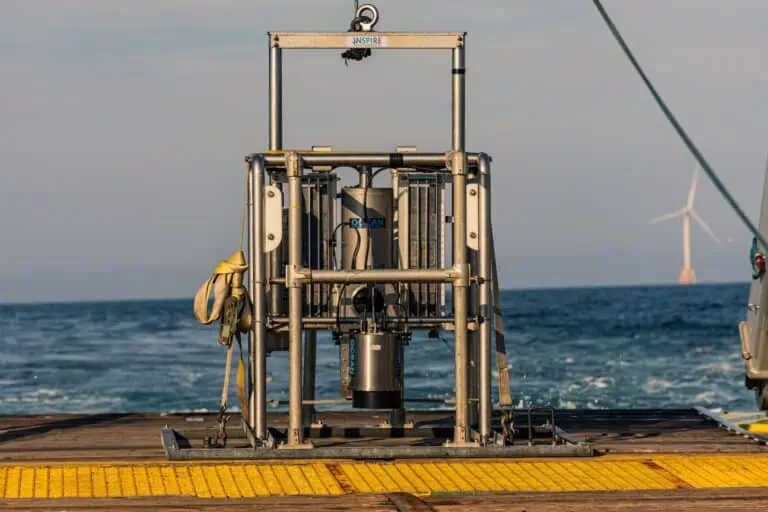
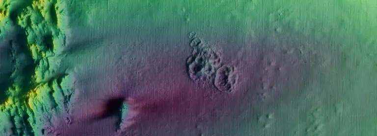
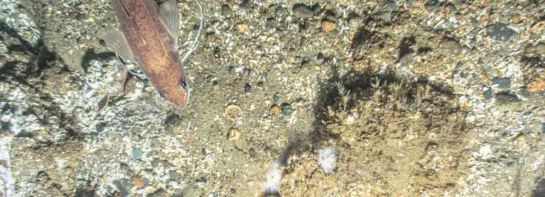
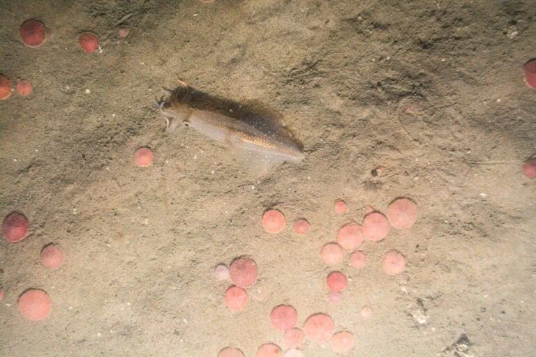
INSPIRE scientists used SPI imagery to help explain how sediment transport processes for the harbor interact with chemical hotspots as part of site risk assessment. We provided these data as well as a decision-making framework to identify areas within Whitby Harbour that might present unacceptable risk to ecological receptors or human communities.
Interested in speaking with us about your projects?

Contact INSPIRE Environmental today for additional Information about our services

Related Services
Related Projects

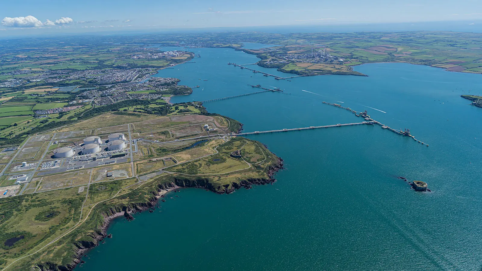
Mapping Milford Haven Waterway

A detailed map and dataset of sedimentary habitats of the Milford Haven Waterway was compiled for the Milford Haven Waterway Environmental Surveillance Group from seafloor images
Related Projects

Mapping Seafood Waste Impacts

For more than a decade, scientists from INSPIRE have been delineating the footprint and studying the environmental impacts of seafood waste discharged from floating and land-based processing plants for both state and federal regulators as well industrial clients.
Related Projects

Deepwater Horizon Oil Spill

Related Projects

US EPA Dredged Material Monitoring
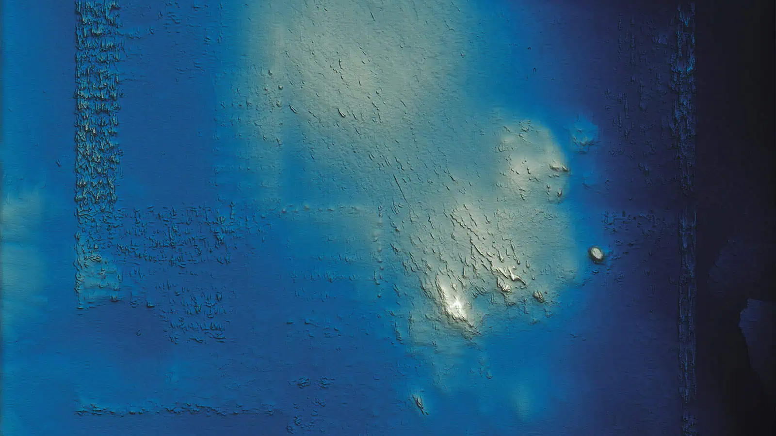
Our data scientists worked closely with representatives from the U.S. the Environmental Protection Agency to develop an intuitive database for EPA to utilize in tracking dredging projects and beneficial use applications. This database combined two previously separate work streams to improve management of dredged sediment and coastal resources.
Related Projects

Monitoring of the Historic Area Remediation Site (HARS) (2019 – 2024)
Our team conducted an analytical comparison of bathymetric survey data to assess the status of remediation activites at the Historical Area Remediation Site (HARS) in the New York Bight. GIS analysts normalized an appropriately 20-year record of bathymetric data to a 2017 surface and the performed comparisons for 1, 2, 3, 5, and 10-year periods. Depth change models were developed and analyzed to estimate volumetric coverage of managed units within the HARS. These spatial analyses supported site management and monitoring decisions. These anlayses were augmented by an interactive web-visualization with a slider tool that was developed to allow users to compare datasets themselves.
Related Projects

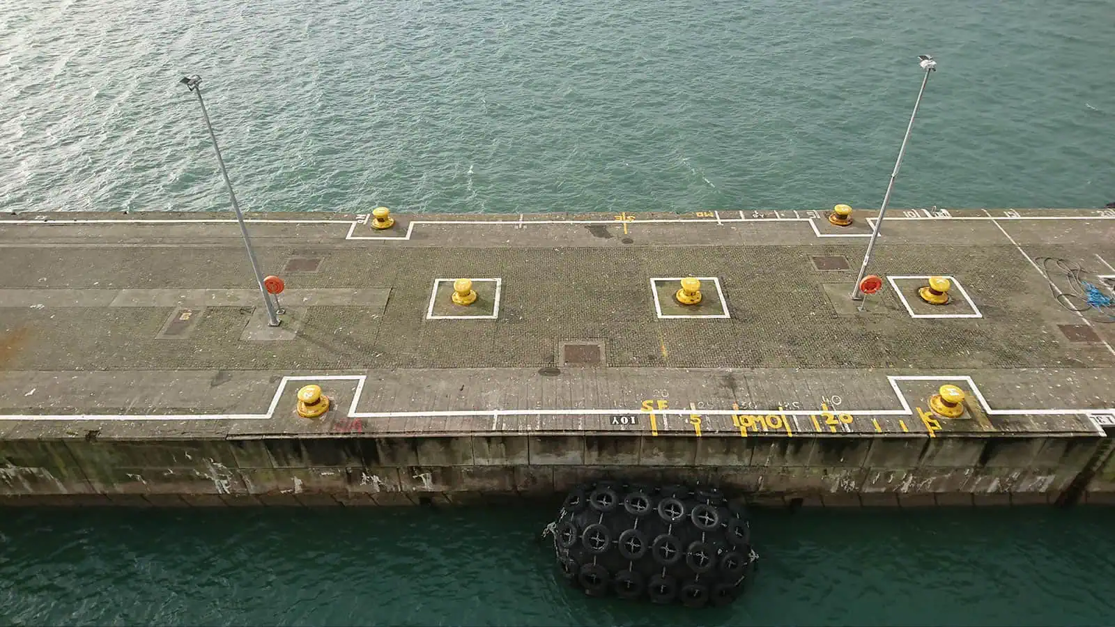
Rosslare Europort Offshore Renewable Energy (ORE) Hub Project

INSPIRE performed noise modeling of piling for the Rosslare Europort ORE Hub harbour expansion and prepared a marine mammal impact assessment chapter and technical appendix for environmental impact assessment reports.