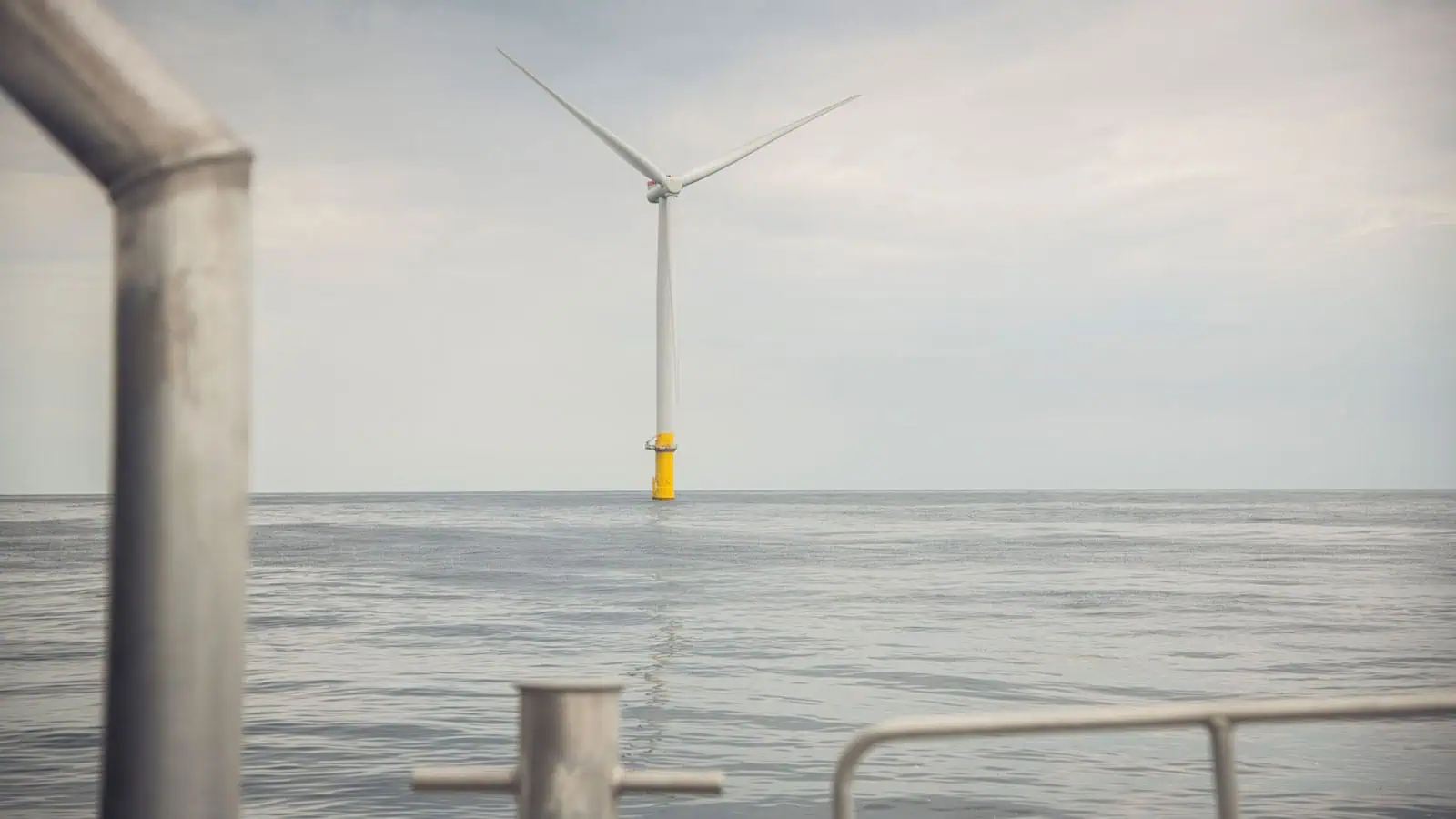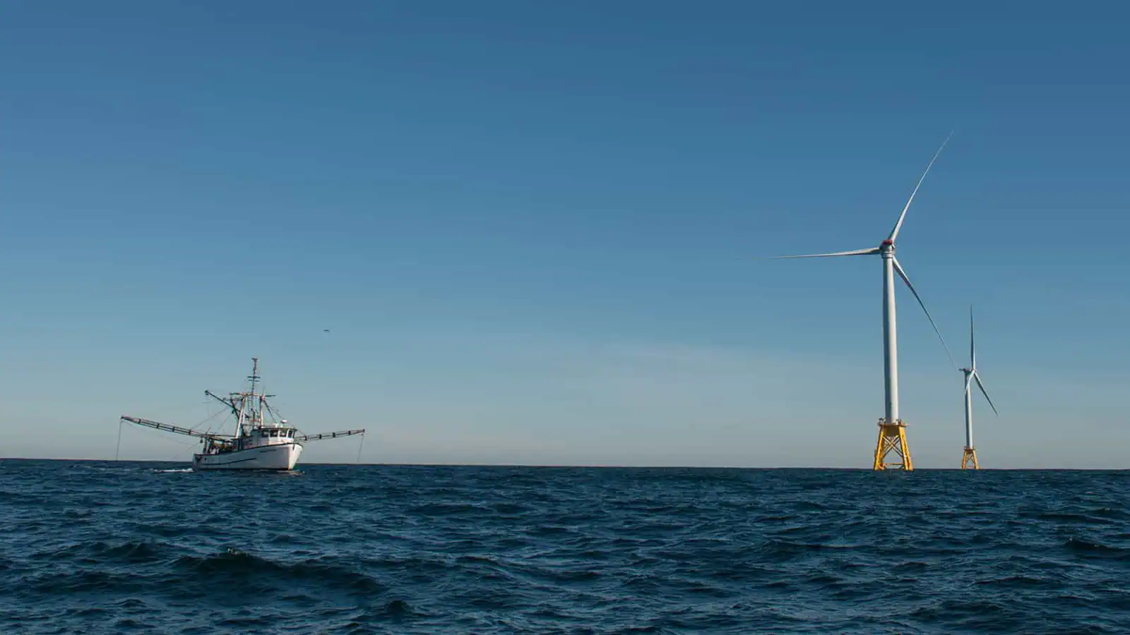
Block Island Wind Farm
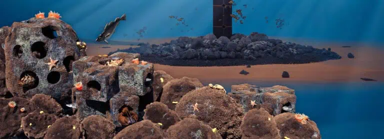
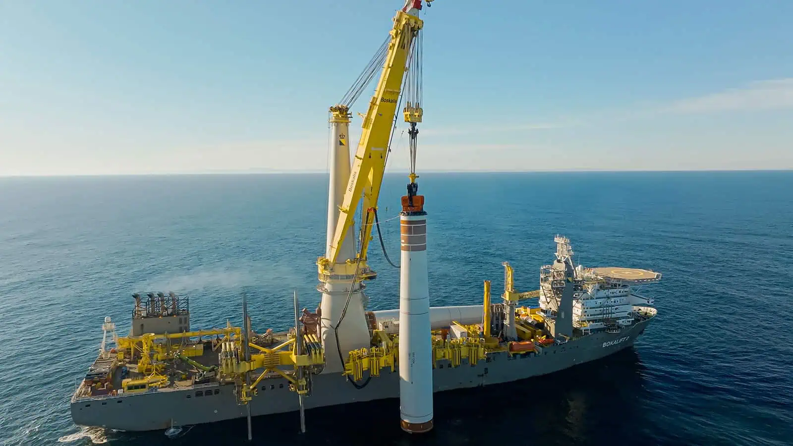
Block Island Wind Farm (Block Island) is the first fully operational industrial scale wind farm in the U.S. and INSPIRE was instrumental in securing myriad federal and state permits, federal and state environmental impact analyses, and complicated siting and design decisions due to environmental and engineering constraints. The project was also subject to intense public scrutiny from a wide array of interested parties. Years of post-construction monitoring demonstrate that the sting decisions made for Block Island have resulted in no adverse impacts on commercial fisheries.
INSPIRE provided siting, permitting, agency review, stakeholder engagement, survey design and pre- and post- construction monitoring support for all of Orsted’s U.S. offshore wind portfolio, which currently consists of eight projects in the Northeast and Mid-Atlantic U.S. INSPIRE has been supporting Block Island since 2009, designing and conducting varied benthic and fisheries assessment and monitoring studies. Our work proved foundational for the industry and set the standard for permitting of commercial scale offshore wind projects in the U.S. Block Island was successfully constructed in 2016. Orsted acquired Block Island in 2018 and since that time INSPIRE has continued to support all of Orsted’s U.S. offshore wind developments. In order to complete this project, INSPIRE successfully worked with geotechnical and geophysical firms, vessel operators, laboratories, universities, and the fishing community.
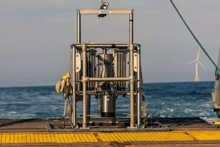
Site Identification and Micro-Siting SPI/PV
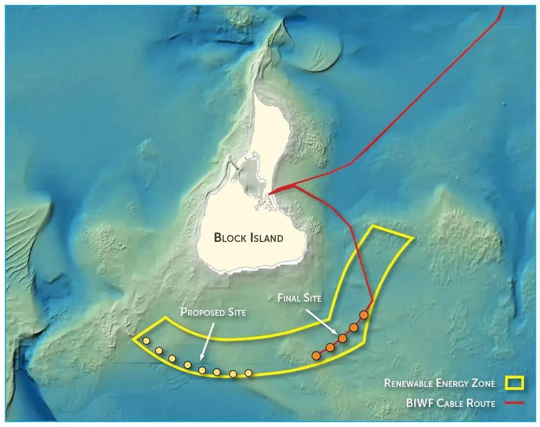
To resolve discrepancies in data from the developer’s geophysical and geotechnical survey contradicting results from the desktop study, INSPIRE designed and conducted a reconnaissance SPI survey. Collecting images from 282 stations over two days, at depths greater than 55 feet, we delivered high-resolution, near-surface geotechnical information (sediment type and penetration) to define benthic habitat types. SPI images provided compelling evidence of suitable bottom-types that allowed the developer to effectively design layout and cable routing alternatives that satisfied agency requirements.
Stakeholder Engagement and Fisheries Outreach
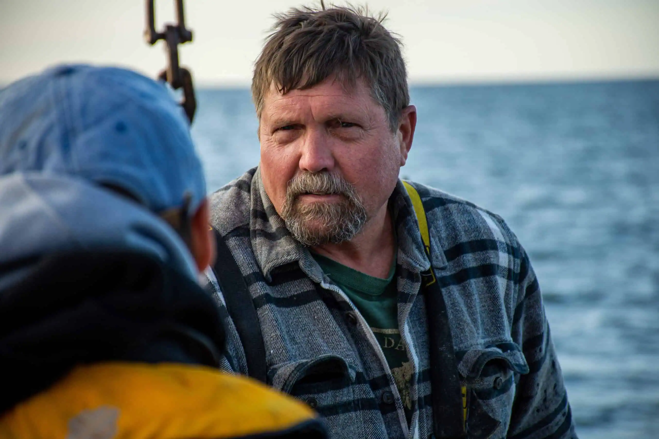
INSPIRE developed a series of fact sheets, posters, and presentations to describe the science at Block Island, increasing stakeholder confidence and dispelling misinformation. Our subject matter experts participated in public meetings in Rhode Island and New York. We also developed a protocol to document outreach activities between Orsted personnel and fisheries-related stakeholders. INSPIRE designed a Microsoft Access database and Power BI dashboard tools that could be implemented in the field to accurately document interactions and collate results to demonstrate engagement with the public.
Fisheries Monitoring
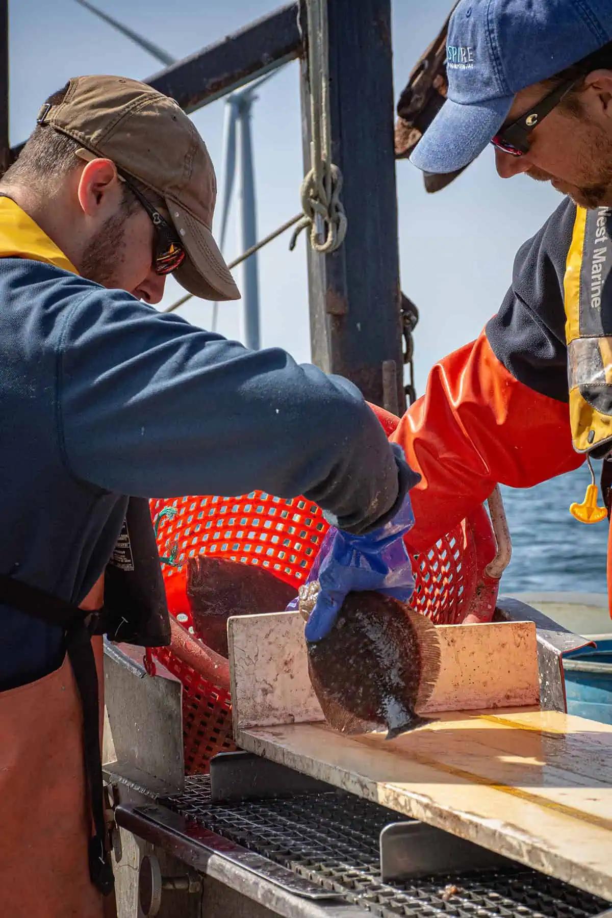
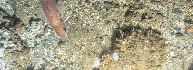
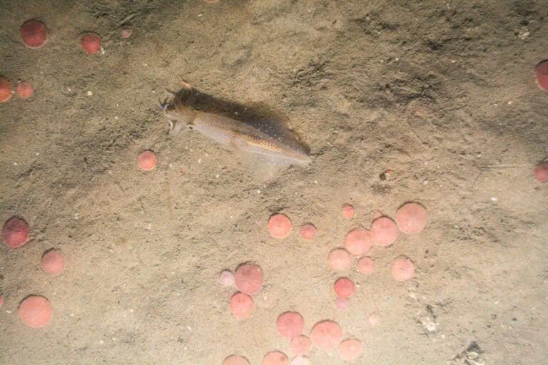
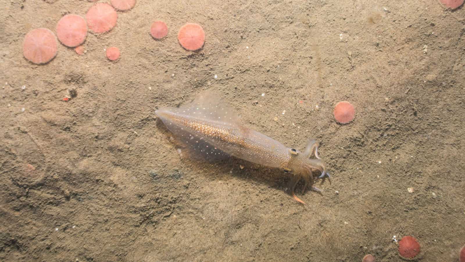
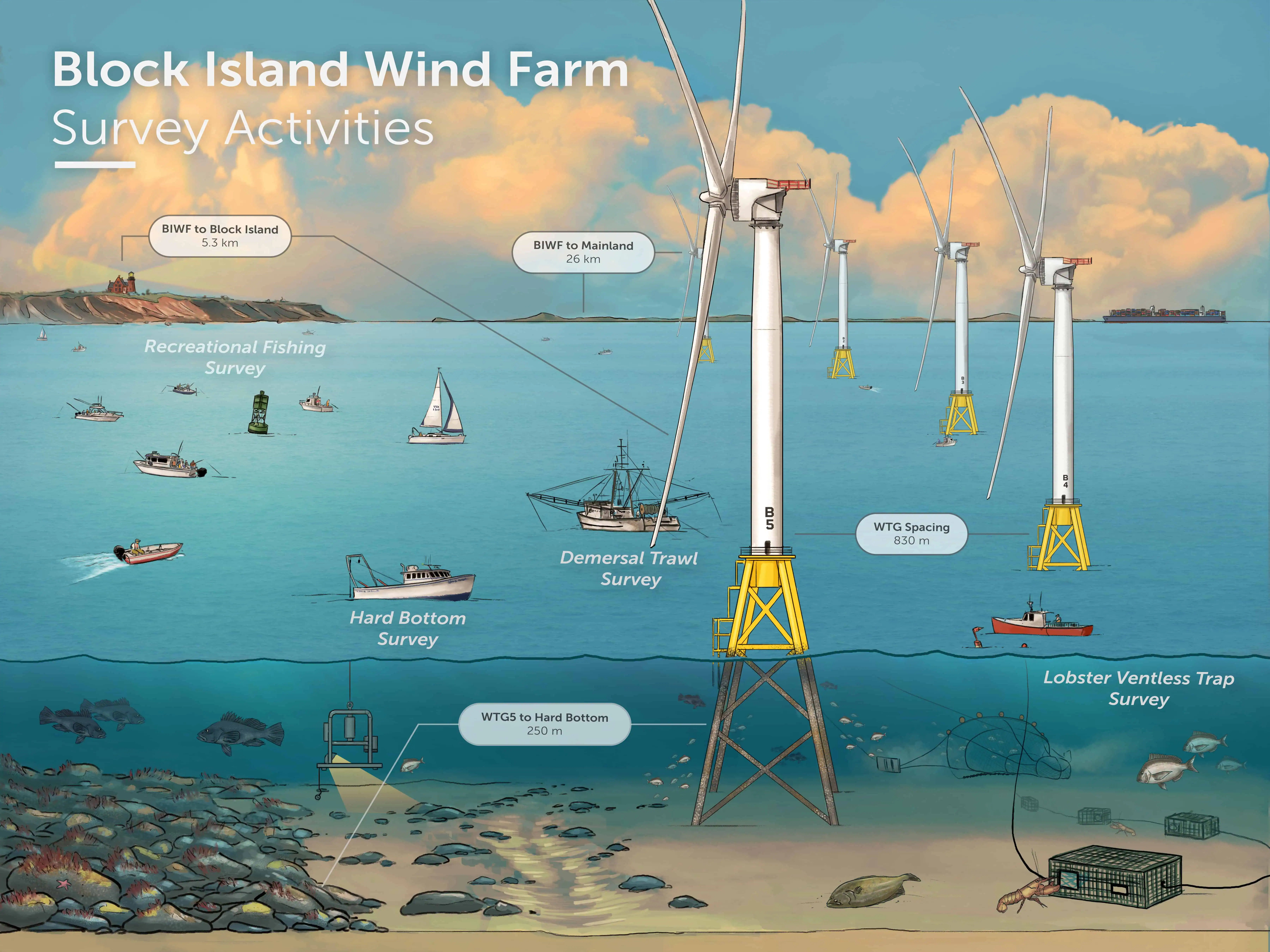
INSPIRE conducted the most comprehensive 7-year pre and post construction demersal trawl survey of an offshore wind farm in the world. INSPIRE scientists collaborated with commercial fishermen to collect monthly data over seven years (2013-2019) at two reference areas and the wind farm site on demersal fish and invertebrate catch rates and size. Stomach content and condition analyses were conducted on gadids, cod, and black sea bass. The Before-After-Control-Impact (BACI) design included baseline, construction and operation time periods, and water quality (temperature, dissolved oxygen, and salinity) assessments. The surveys demonstrated that the project has had no significant negative effects on fish population.
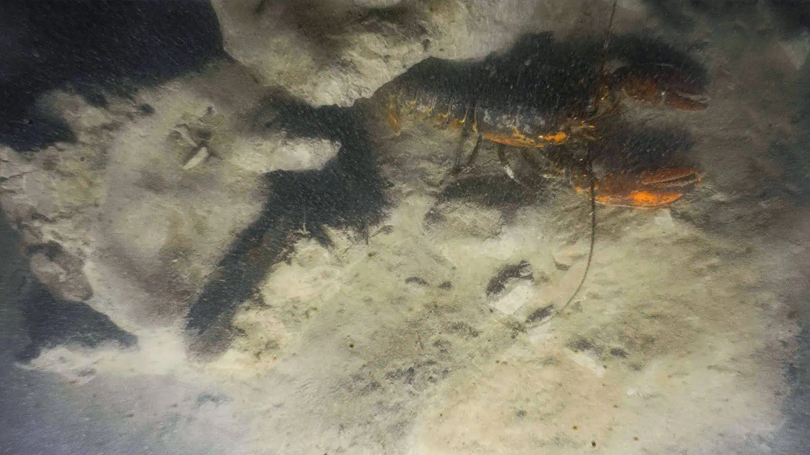
INSPIRE scientists partnered with commercial lobstermen to conduct a ventless-trap lobster survey that spanned baseline, construction, and operation time periods. Sampling occurred twice monthly from May through October 2013-2019 at the wind farm and a reference location selected to indicate potential impacts of the wind farm on the lobster fishery. Survey results indicated that the lobster fishery was not affected by wind farm construction or operation.
Benthic Monitoring
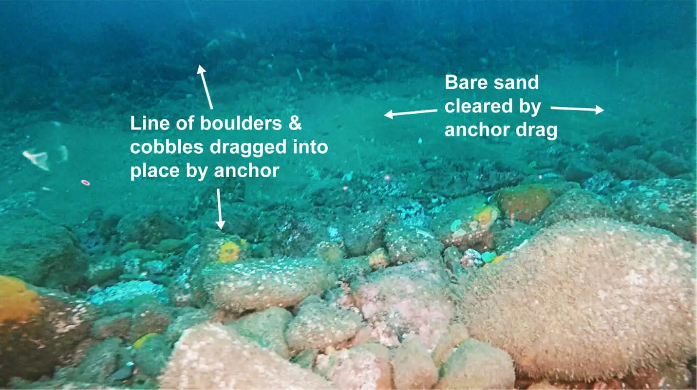
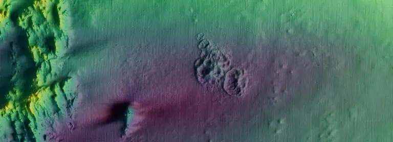
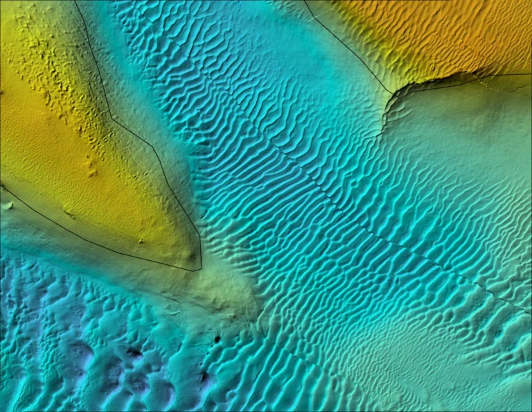
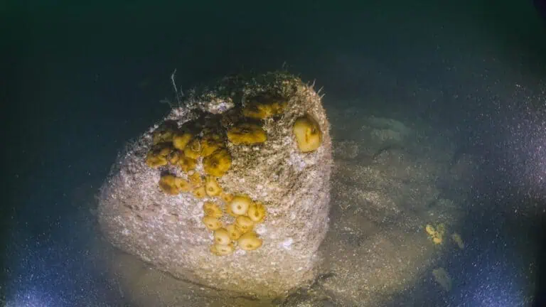
To document recovery of hard bottom habitats after construction of the Block Island Wind Farm, INSPIRE conducted a multidisciplinary study using geophysical data, video, and SPI/PV imagery to monitor areas potentially affected by construction. Data from the images were classified according to CMECS. INSPIRE leveraged the classification standard into information that is most useful for identifying habitats at risk of alteration and those likely to recover quickly from negative construction-related impacts. INSPIRE’s methodology was published in the peer-review literature.
Cable Mat Survey
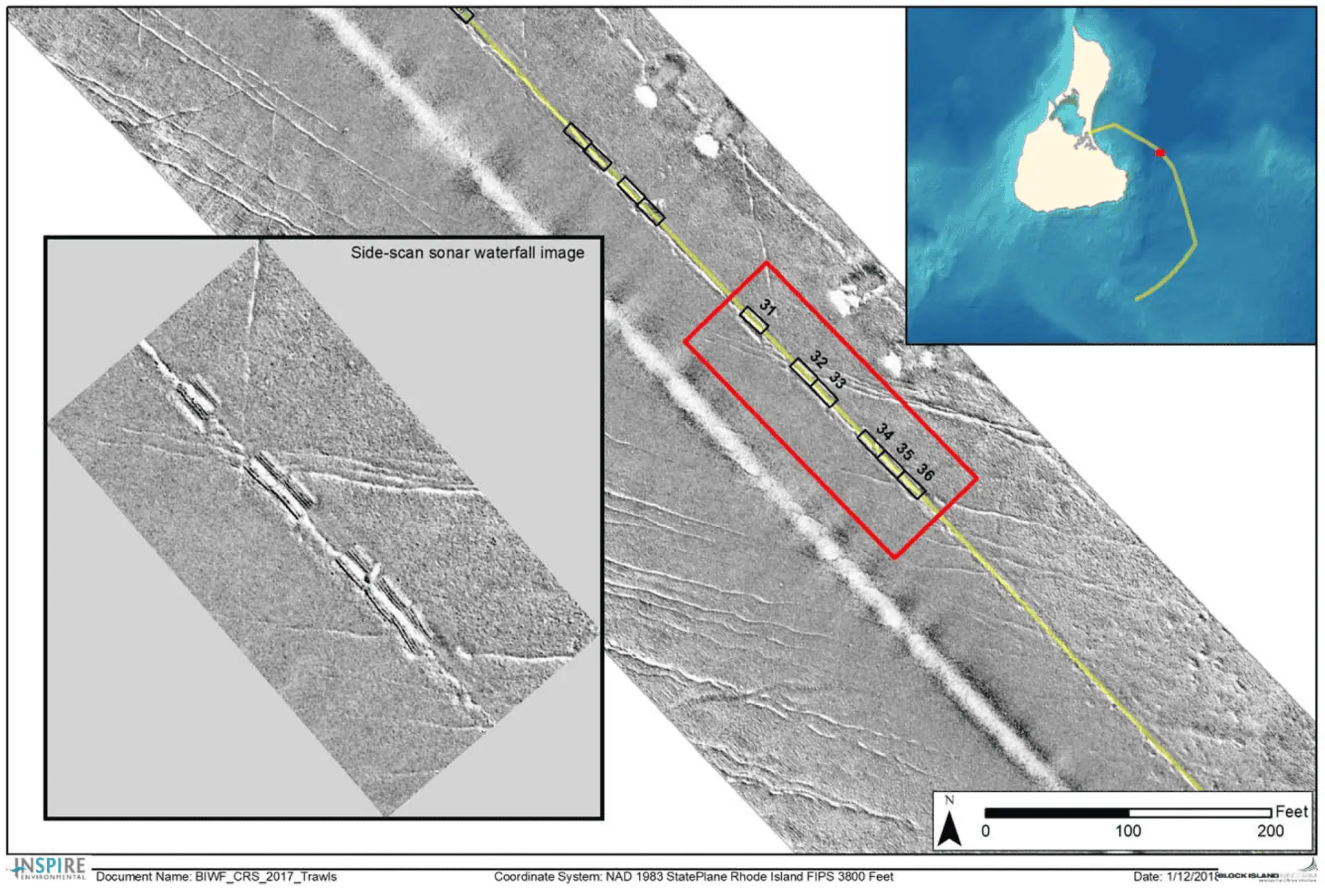
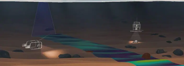
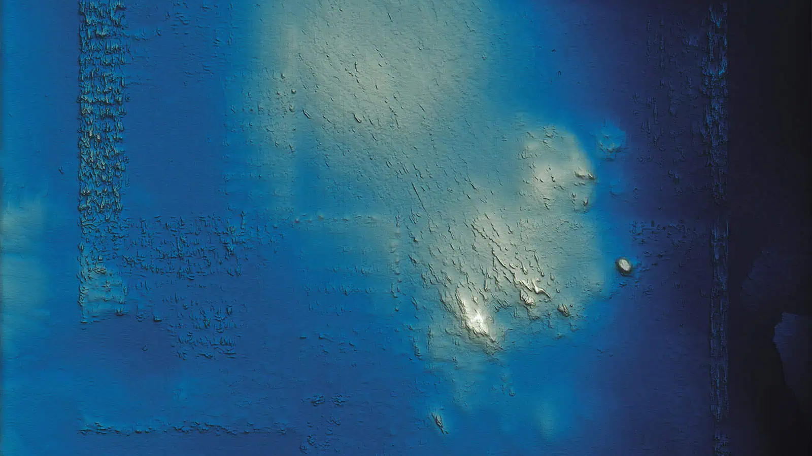
INSPIRE conducted a geophysical survey of the cable route in the summer of 2017. The survey area included approximately 6 miles of cable route with 29 mat protection areas that included 49 individual mats between Block Island and the wind turbines. The goals of this survey were (1) to assess the position and condition of the cable protection mats along the Block Island Wind Farm export cable route between the safe navigable waters nearshore Block Island and wind turbine generator #1; and (2) to confirm that trawling can be conducted over the mattresses without loss of or damage to gear, or movement of mats. The multibeam and side-scan sonar survey found no evidence that the cable protection mats have been dislodged or shifted positions.

