Oil & Gas

Deepwater Horizon Oil Spill

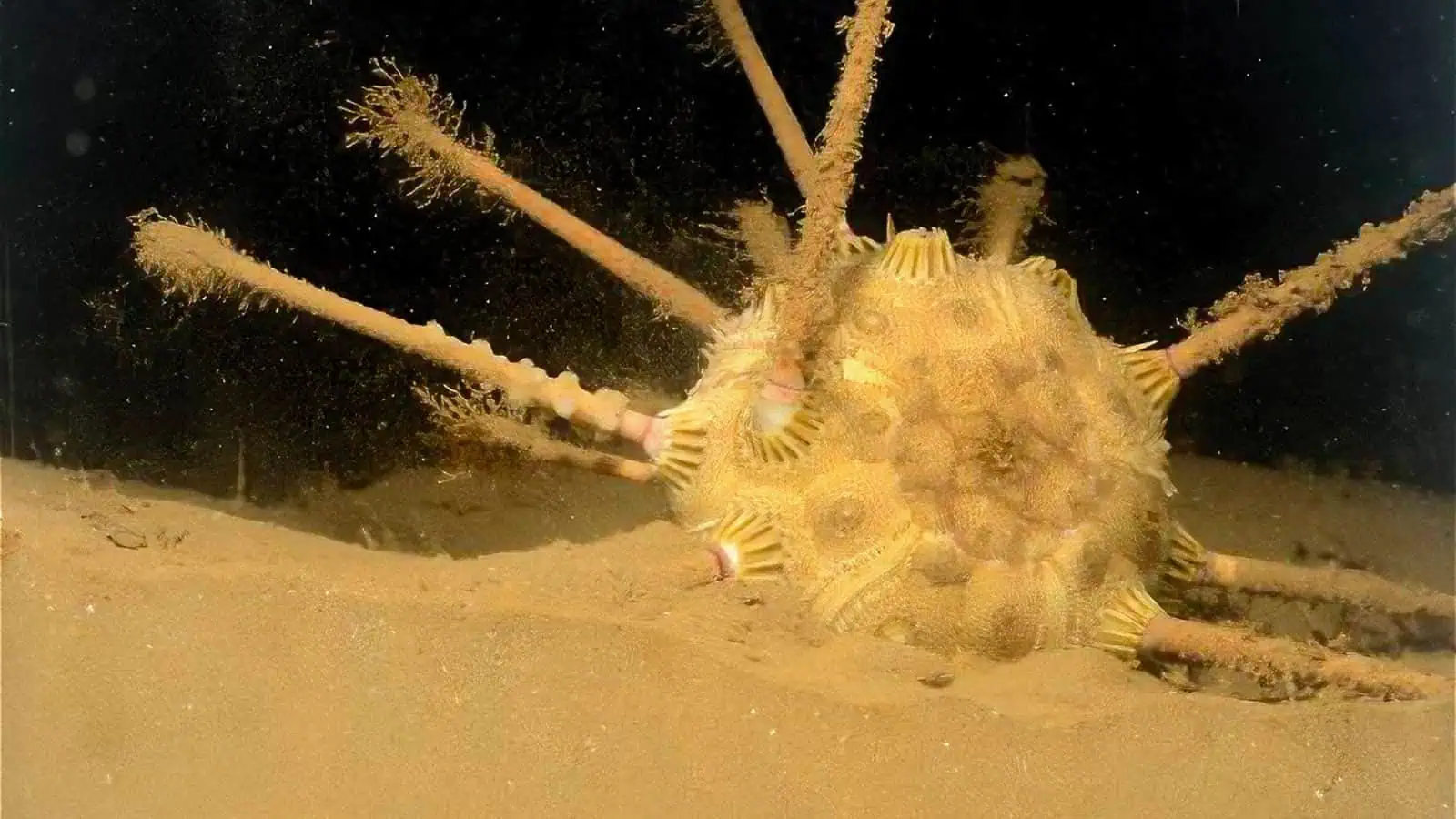
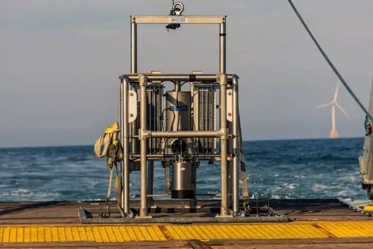
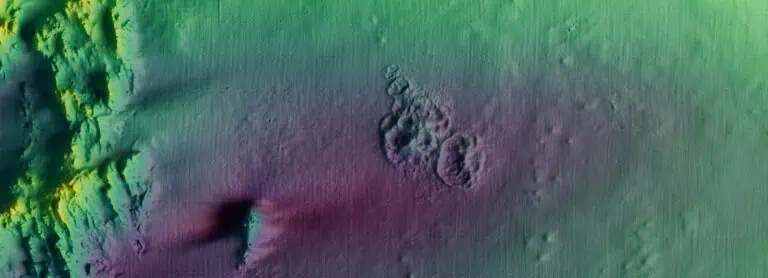
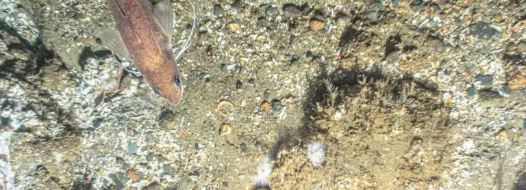
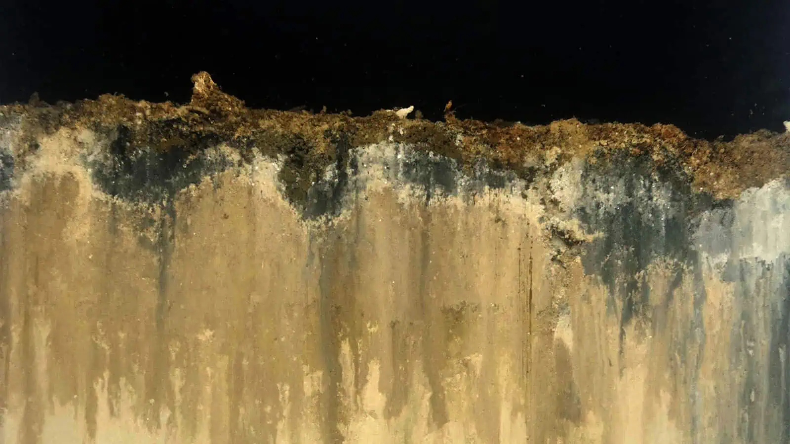
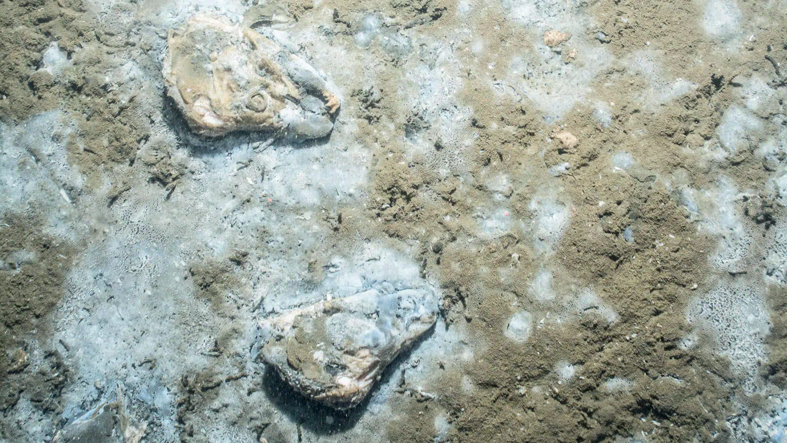
Our team was hired to help assess benthic environmental concerns following the Deepwater Horizon oil spill. Our approach was to obtain samples (SPI and PV digital images), using image sampling points co-located with sediment sampling points from previous surveys, to evaluate temporal changes in benthic conditions (short- and long-term), examine benthic conditions, and identify areas or strata that show potential impacts. Our work identified that the recovery trajectory mimicked benthic succession following organic enrichment that is widely recorded in coastal systems but not the deep sea.

INSPIRE scientists published two peer-reviewed articles on our ground-breaking findings regarding the response and recovery of the benthos to the deposition of oil and drilling mud from the Deepwater Horizon blowout and efforts to control the incident (Guarinello et al. 2022) and implications for collective understanding of deep-sea benthic function and re-thinking sampling strategies accordingly (Sturdivant et al. 2024).

Interested in speaking with us about your projects?

Contact INSPIRE Environmental today for additional Information about our services

Related Services
Related Projects

Mapping Seafood Waste Impacts

For more than a decade, scientists from INSPIRE have been delineating the footprint and studying the environmental impacts of seafood waste discharged from floating and land-based processing plants for both state and federal regulators as well industrial clients.
Related Projects

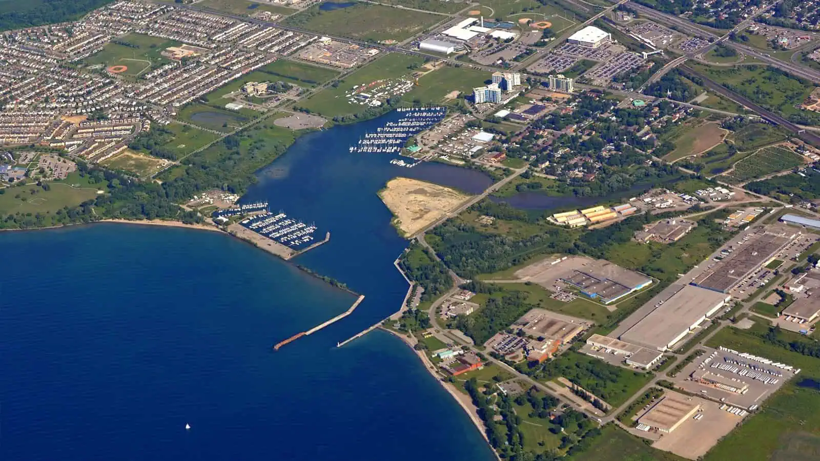
Refined Harbor Sediment Assessment, Port Whitby Marina, Canada
Related Projects

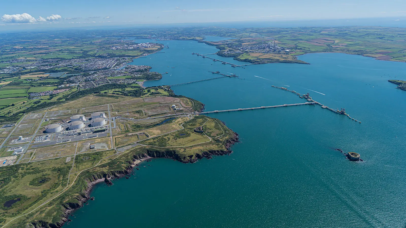
Mapping Milford Haven Waterway

A detailed map and dataset of sedimentary habitats of the Milford Haven Waterway was compiled for the Milford Haven Waterway Environmental Surveillance Group from seafloor images
Related Projects

US EPA Dredged Material Monitoring

Our data scientists worked closely with representatives from the U.S. the Environmental Protection Agency to develop an intuitive database for EPA to utilize in tracking dredging projects and beneficial use applications. This database combined two previously separate work streams to improve management of dredged sediment and coastal resources.
Related Projects

Monitoring of the Historic Area Remediation Site (HARS) (2019 – 2024)
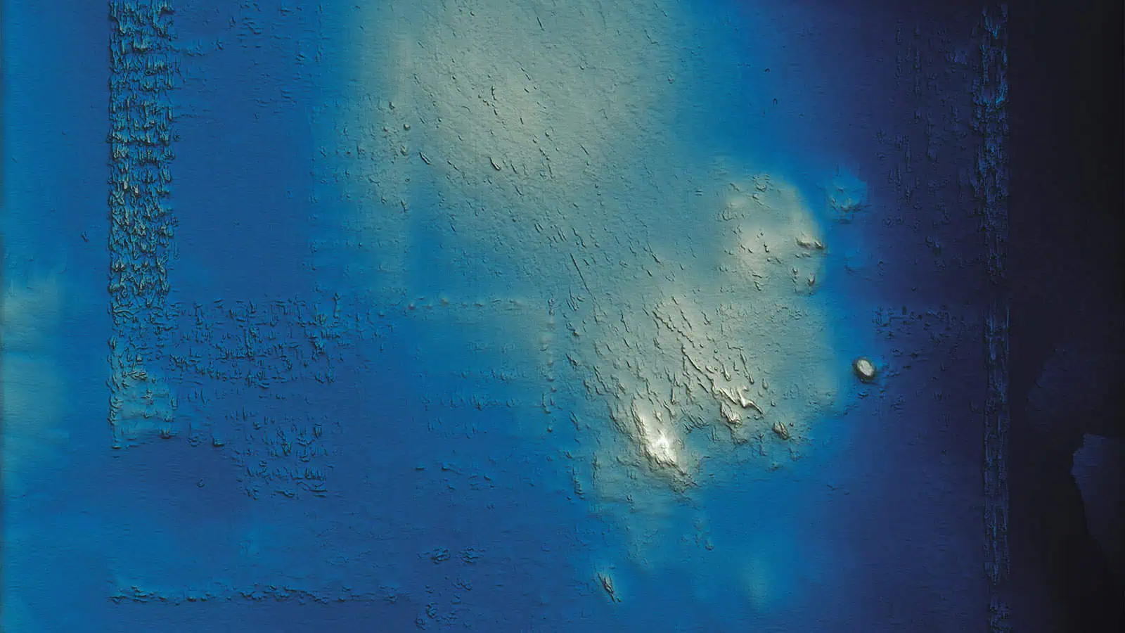
Our team conducted an analytical comparison of bathymetric survey data to assess the status of remediation activites at the Historical Area Remediation Site (HARS) in the New York Bight. GIS analysts normalized an appropriately 20-year record of bathymetric data to a 2017 surface and the performed comparisons for 1, 2, 3, 5, and 10-year periods. Depth change models were developed and analyzed to estimate volumetric coverage of managed units within the HARS. These spatial analyses supported site management and monitoring decisions. These anlayses were augmented by an interactive web-visualization with a slider tool that was developed to allow users to compare datasets themselves.
Related Projects

USACE New England District Environmental Services Contract

The Hard Bottom protocol we designed for this project outlines a tiered approach that assesses the physical and biological condition of coarse dredged material primarily using MBES, SSS, ROV-video, and SPI/PV imagery.