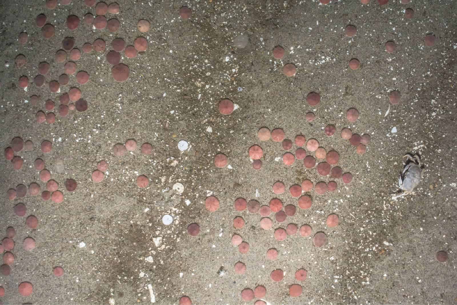
NYSERDA Offshore Wind Master Plan 2.0
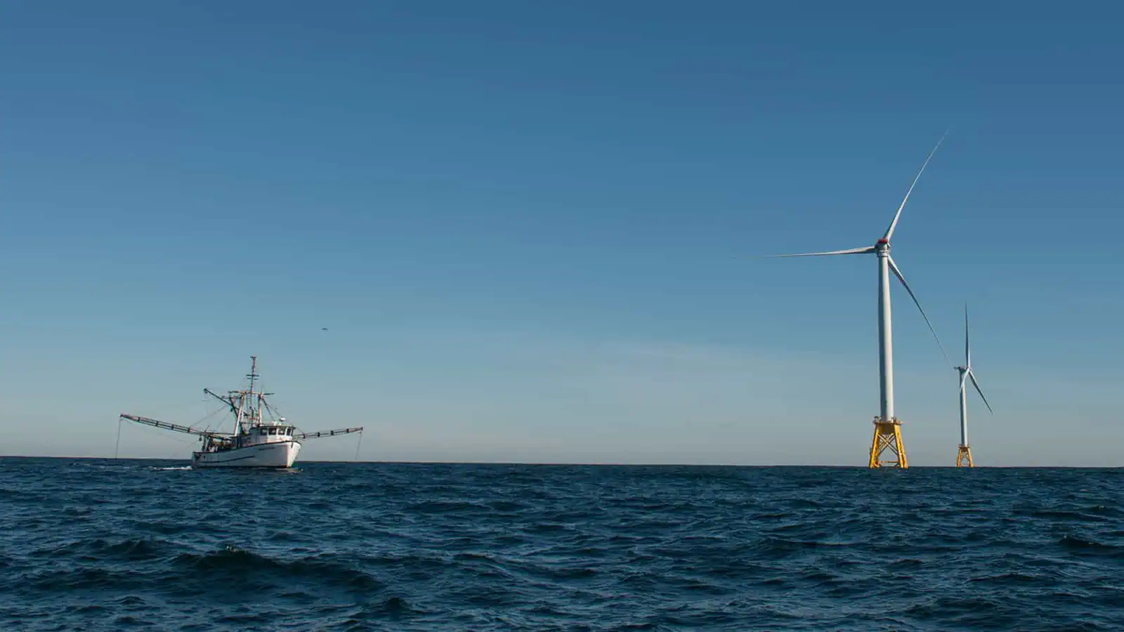
The New York State Offshore Master Plan 2.0 Deep Water (Master Plan 2.0) was launched in 2022 as the state’s next step to meeting their goal of developing 2,400 megawatts (MW) of wind energy off the New York coast by 2030. Based on the first Master Plan (NYSERDA 2017), Master Plan 2.0 informs the development of offshore wind (OSW) energy in deep water zones, (i.e., waters that are 60 meters or greater) off the region’s continental shelf. As OSW shifts to deeper waters, deep water wind infrastructure will increase in size of components and footprint due to the use of floating OSW technology. This may result in changes in the types of potential impacts and interactions during project development than fixed-bottom wind. Findings from studies under the Master Plan 2.0 will be synthesized to identify wildlife distributions, oceanographic conditions, and ocean use stakeholders and recommend regions to BOEM for siting and leasing deep water offshore wind projects. The master planning process included stakeholder engagement with the New York State Environmental Technical Working Group (E-TWG), Project Advisory Committees (PAC), and other New York State partners
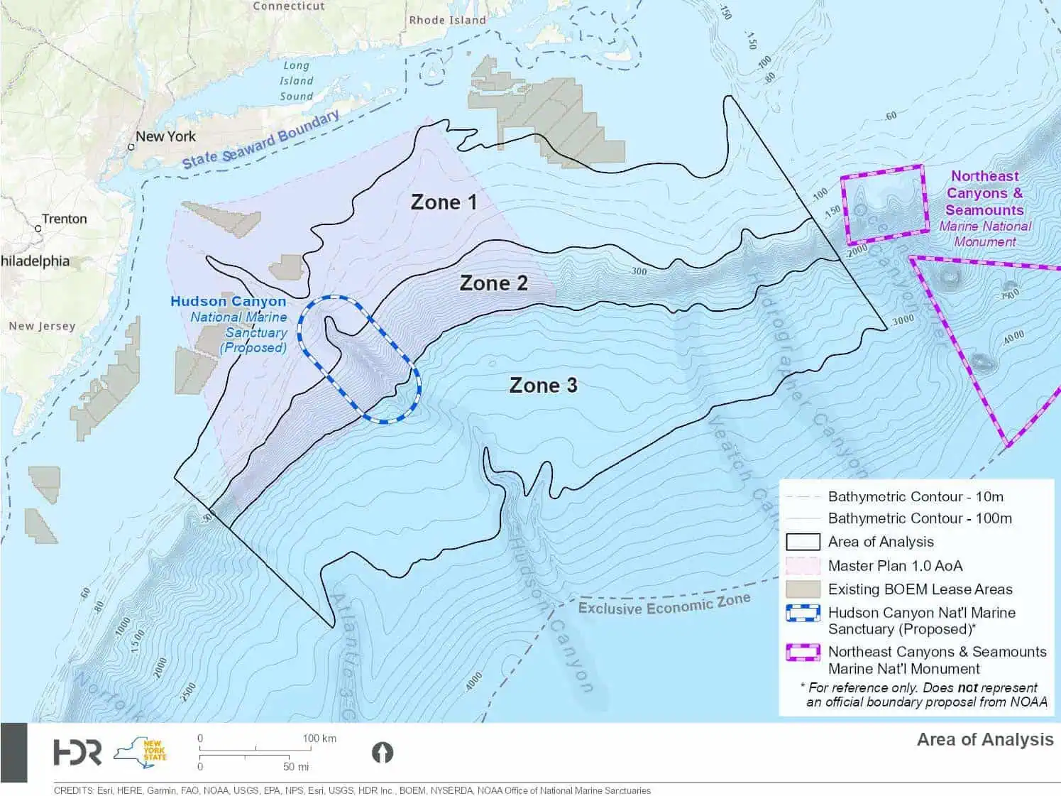
Environmental desktop studies were conducted to inform both New York State and BOEM on the suitability of siting and leasing regional deep water zones for OSW development. These studies reviewed available data and identified gaps on resources in the Area of Analysis (AoA) that may be impacted by OSW. The AoA is comprised of three zones: Zone 1 includes the outer continental shelf (60-150 meters deep), Zone 2 includes the shelf break (150-2,000 meters deep), and Zone 3 includes the area beyond the shelf break (2,000-3,000 meters deep).
Interested in speaking with us about your projects?
Contact INSPIRE Environmental today for additional Information about our services
Related Services
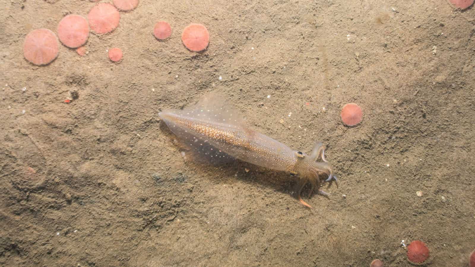
Empire Wind Offshore Wind Project
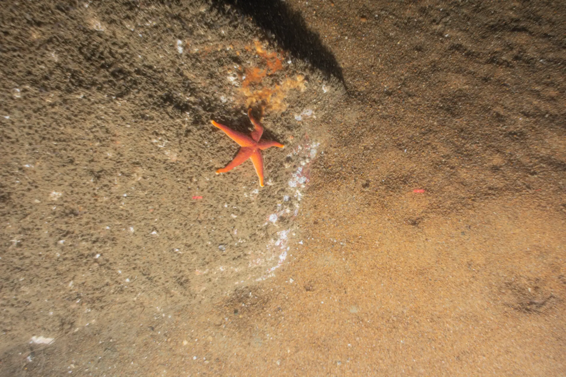
Sunrise Offshore Wind Project
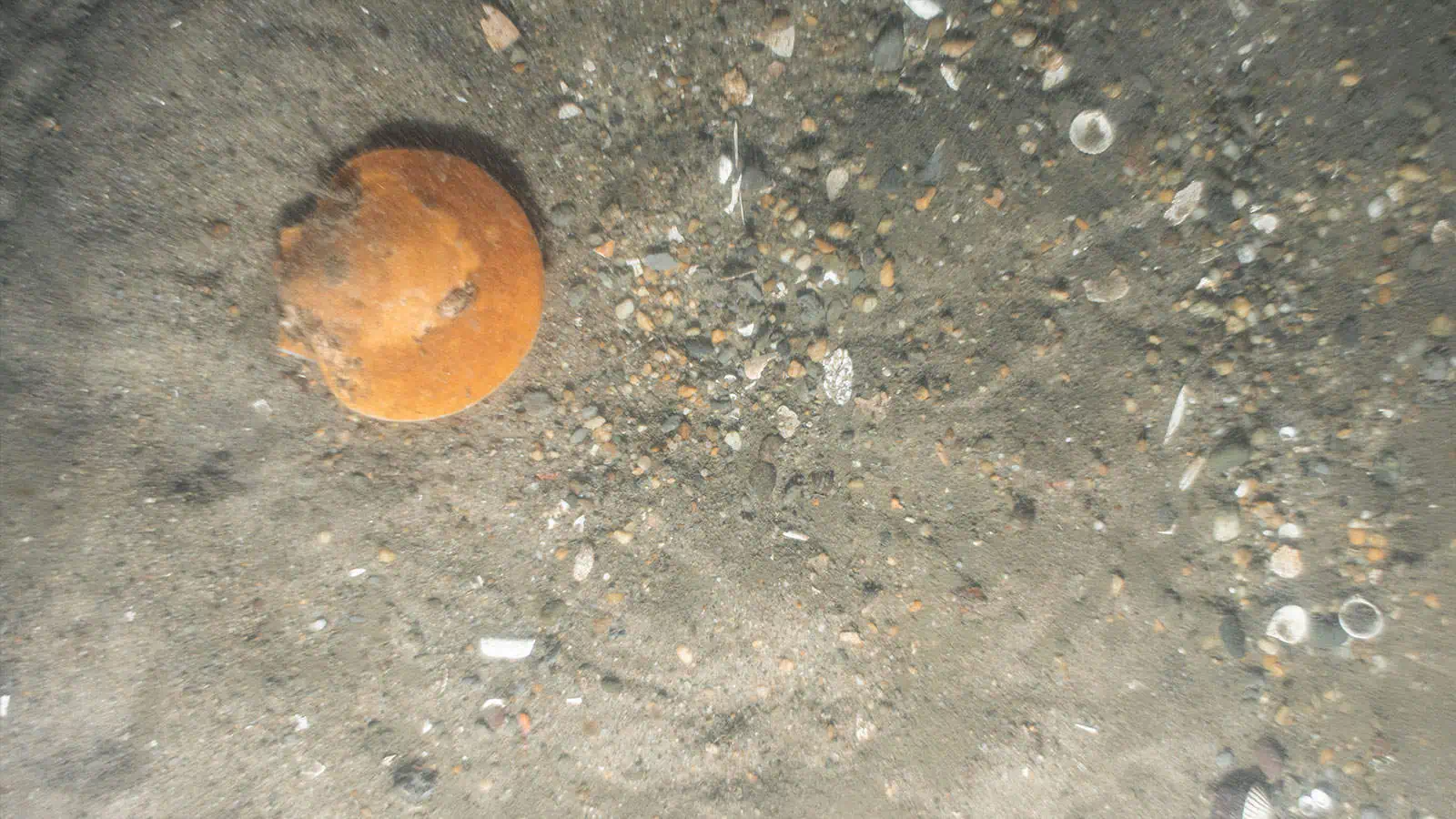
Attentive Energy Export Cable Routes Forward Scouting Survey
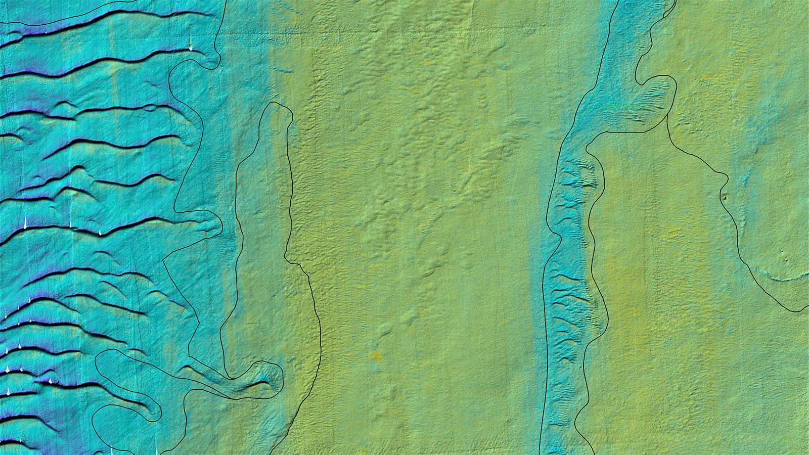
SouthCoast Offshore Wind Project
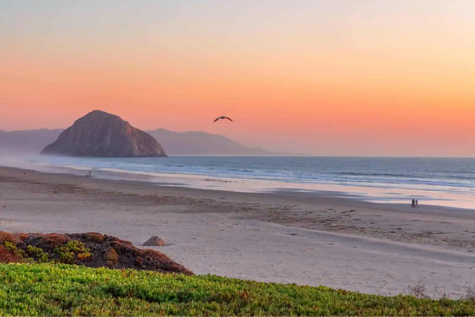
Morro Bay, California Wind Energy Area Risk Evaluation Risk Evaluation, Fisheries Desktop Study, and Data Visualization Platform
