Ocean Wind LLC’s Ocean Wind Offshore Wind Farm
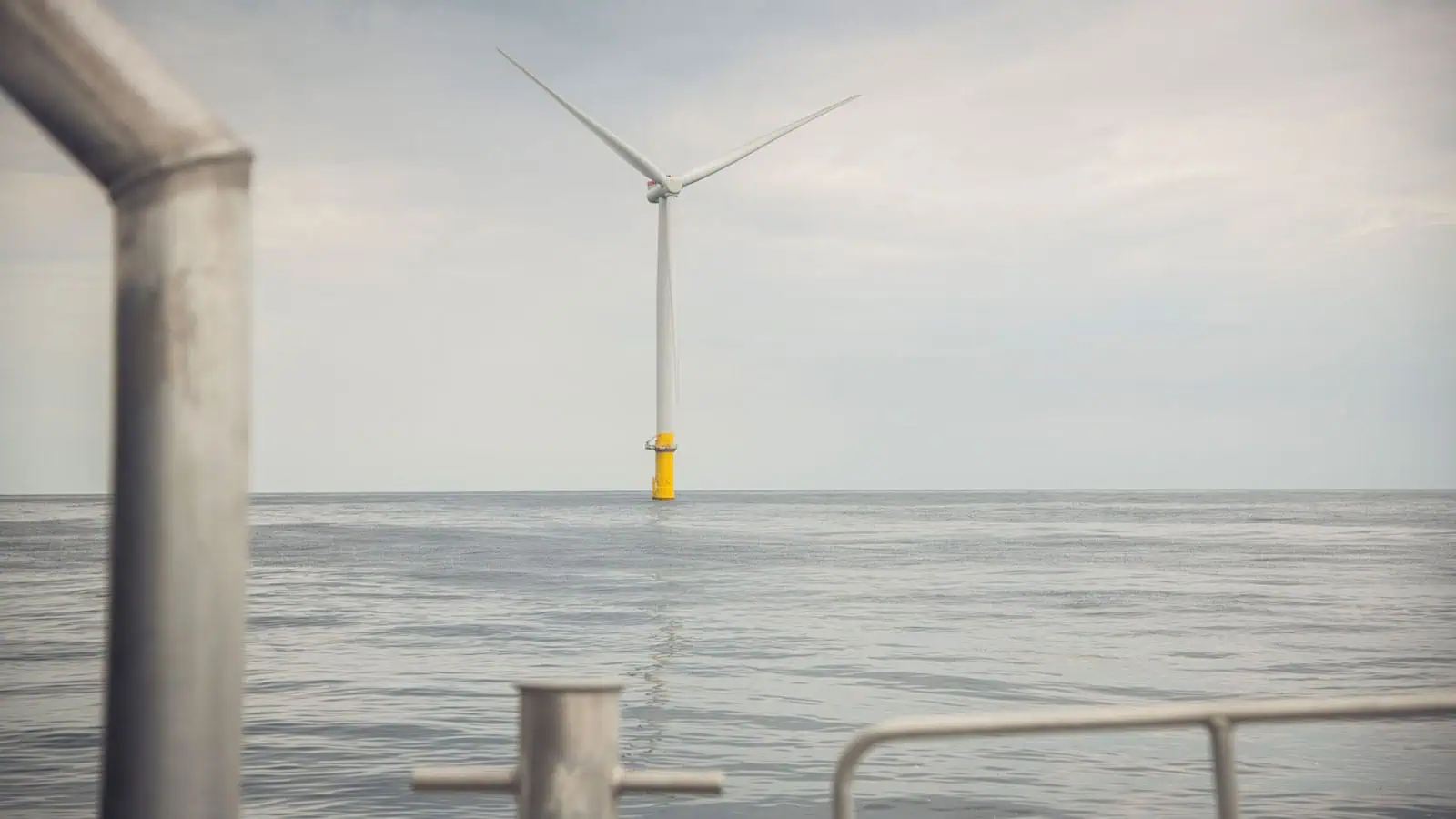
Ocean Wind, LLC (a subsidiary wholly owned by Orsted Wind Power North America, LLC [Orsted]) proposed to construct and operate the Ocean Wind Offshore Wind Farm (OCW01 or Project) to generate renewable power off the coast of New Jersey and transfer the electricity to load centers within New Jersey and the Mid-Atlantic region. The Project envelope included up to 98 wind turbine generators, up to 3 offshore substations, array cables and substation interconnection cables, up to three offshore export cables within two offshore export cable route corridors, and one landfall that would be used to transition to an onshore export cable at BL England and one landfall that would be used to transition to an onshore export cable at Oyster Creek. Due to inflation, interest rates, and supply chain constraints, Orsted elected to cease development on the Project in October 2023. INSPIRE Environmental (INSPIRE) supported Orsted over the course of 6 years in various aspects of the permitting and National Environmental Policy Act (NEPA) review process.
INSPIRE’s collective work on the Project and expert consulting services provided to Orsted over the years are directly applicable to key components required throughout the NEPA process. Specifically, INSPIRE’s support included (1) offshore surveys, analysis, and interpretation of baseline benthic conditions and (2) integration of geophysical data with benthic ground-truth data to map benthic habitats, which provided critical data and interpretations for describing the affected environment of the Project Area. As a follow on to these activites, INSPIRE conducted (3) an assessment of potential Project impacts on physical and biological benthic resources, including a detailed multidisciplinary review of large-form sand ridges and related essential fish habitats. The information provided by INSPIRE across these three activities was used by Orsted to inform development of the proposed action, by the Bureau of Ocean Management (BOEM) to develop alternatives for review in the NEPA process, and by the National Oceanic and Atmospheric Administration Fisheries (NOAA Fisheries) in their essential fish habitat (EFH) consultation. INSPIRE also facilitated each of these organization’s review by developing a comprehensive interactive online data visualization tool (Popup map) that provided geophysical data, layout information, benthic data results, collected still and video imagery, and benthic habitat data in an easily accessible format.
INSPIRE directly supported multi-agency coordination through (4) expert review and advice on mitigation measures during NEPA alternatives review and finalization of Record of Decision (ROD) conditions and (5) development of a robust hypothesis-driven benthic monitoring plan to evaluate Project impacts to the benthic habitats present in the Project Area with an additional focus on the sand ridges in the northeast portion of the wind farm. The plan was vetted by multiple agencies and INSPIRE kept a detailed administrative record of comments and responses. INSPIRE’s post-ROD support included (6) an offshore pre-construction benthic monitoring survey and (7) an inshore estuarine pre-construction survey of submerged aquatic vegetation distribution and condition. Throughout the life of the Project, INSPIRE also supported Orsted in (8) public outreach engagement with the fisheries community by developing data collection protocols, forms, databases, and reporting templates for Orsted personnel to utilize.
Specific details related to each of these activities are provided below.
Benthic Assessment Surveys:
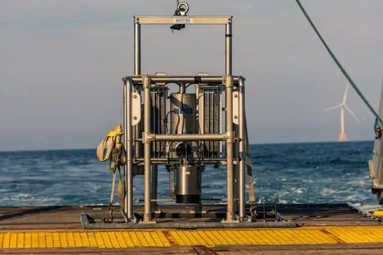
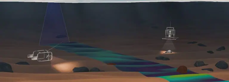
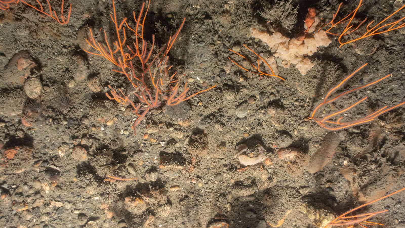
INSPIRE conducted a field survey in 2019 to provide baseline data on benthic resources in the east-northeast portion of the proposed wind farm area and along the export cable corridors. These data were paired with surveys conducted by geophysical contractors to provide baseline data for the Project’s Construction and Operations Plan (COP). During this 2019 survey, INSPIRE collected Sediment Profile and Plan View (SPI/PV) images and sediment grab samples. INSPIRE analyzed the SPI/PV results to assess benthic habitats, communities of benthic species, and sediment characteristics using the Coastal and Marine Ecological Classification Standard (CMECS). INSPIRE delivered a SPI/PV Benthic Assessment Survey Report and a SPI/PV Physical Ground-Truth Survey Report as final deliverables. In addition, the results of the grab samples were delivered as an appendix to the latter report to assist with geotechnical reporting. The results of this survey informed assessments of environmental consequences and associated planned mitigation measures for project activities.
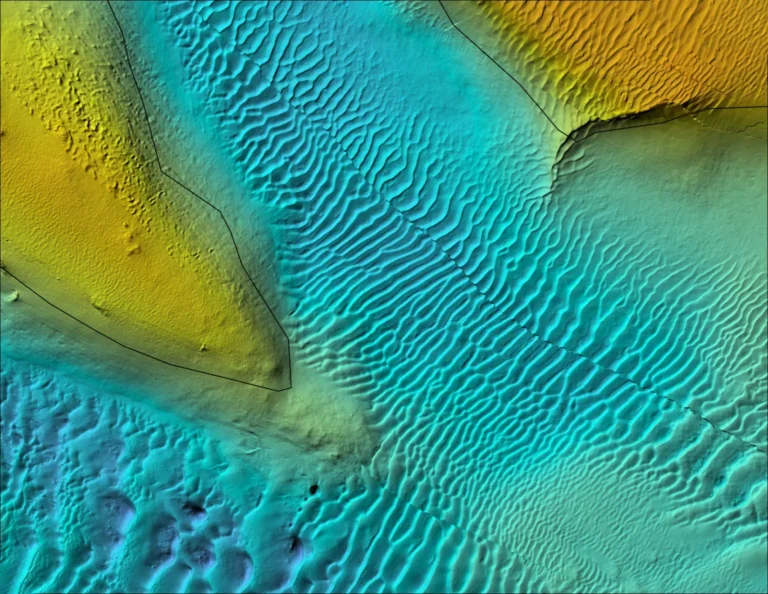
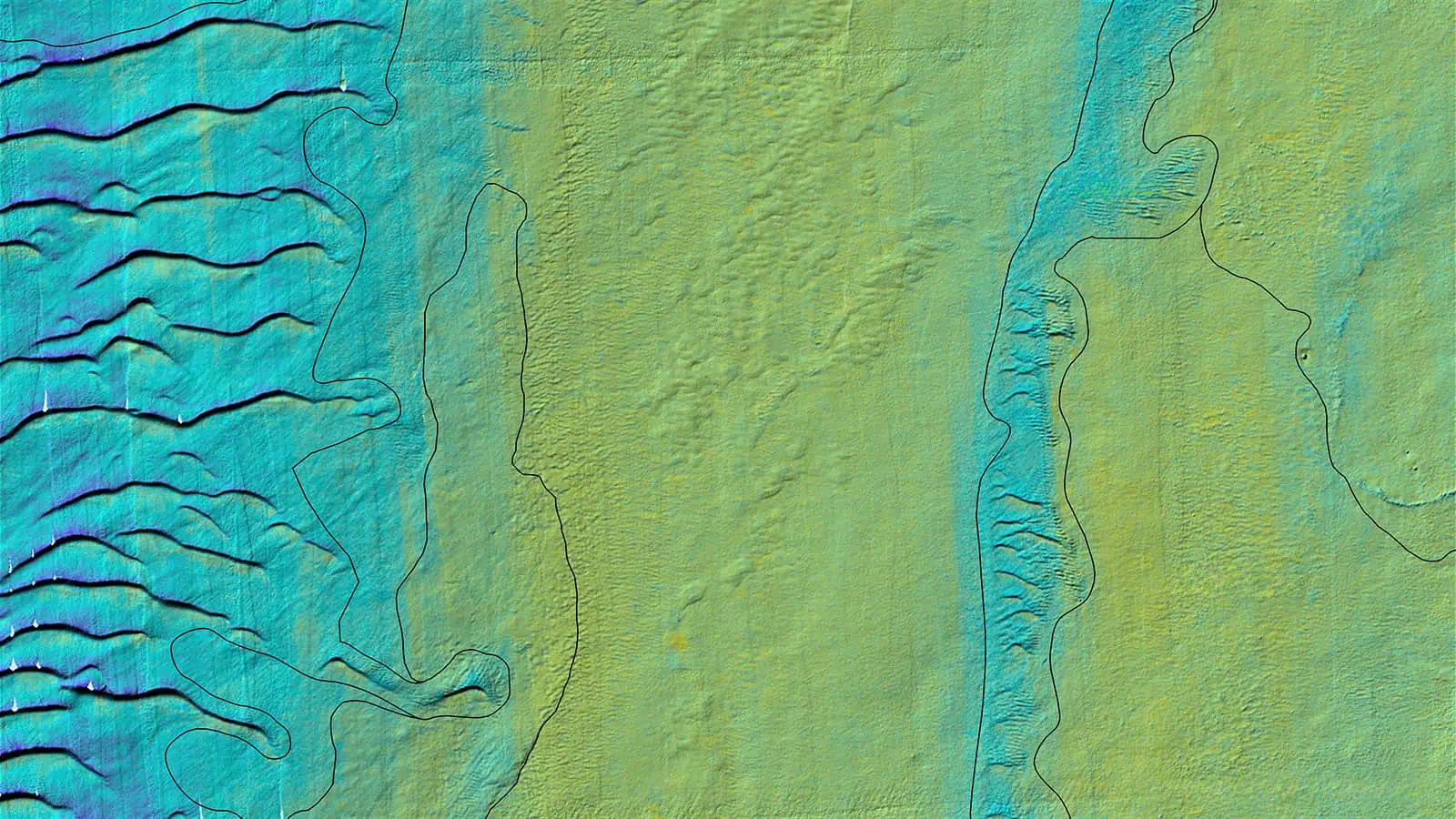
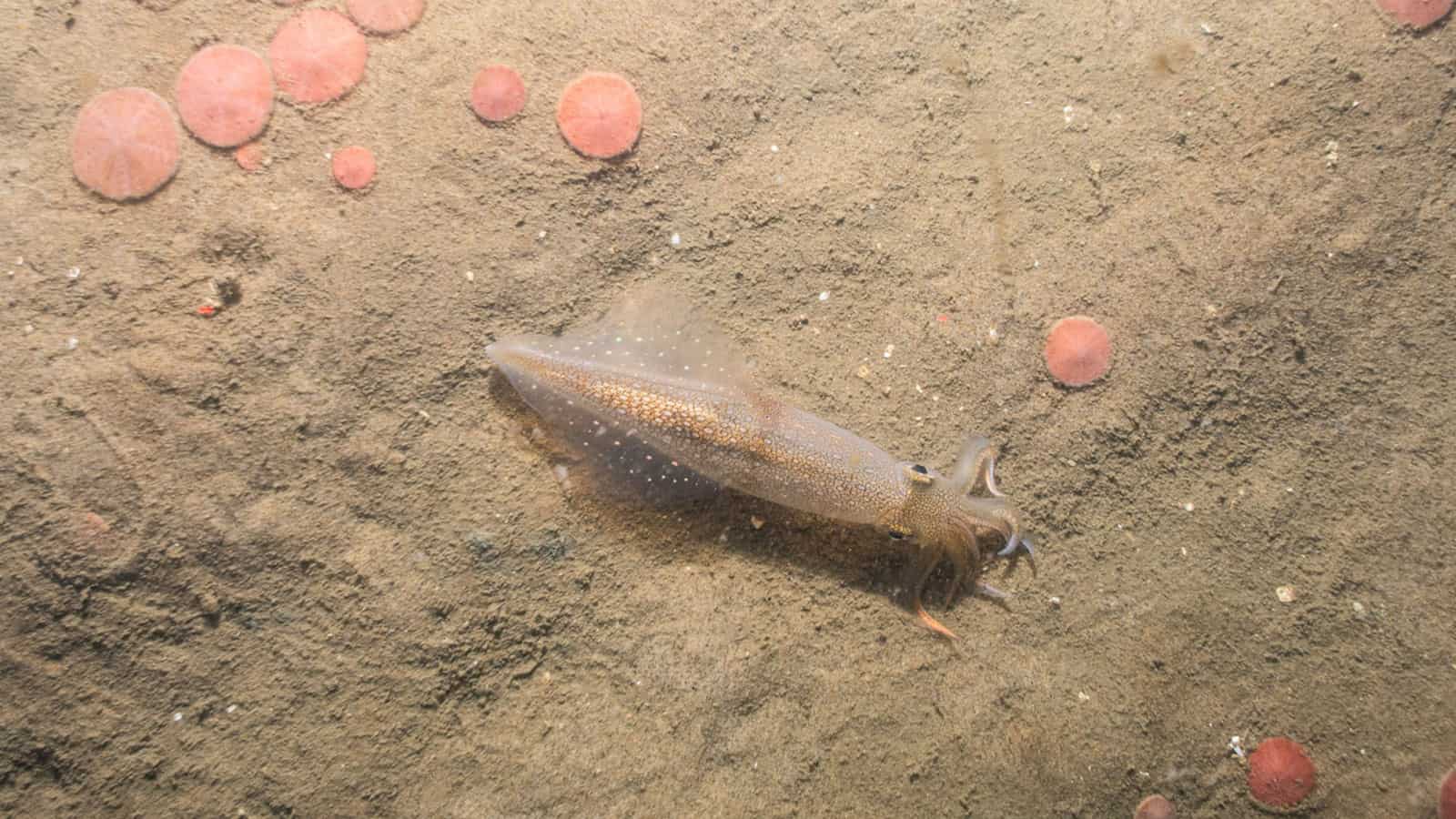
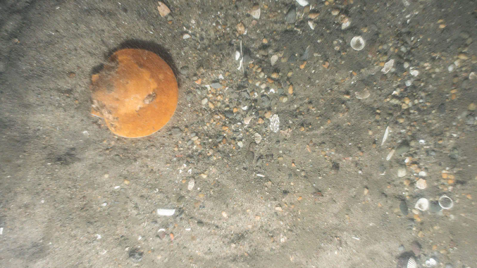
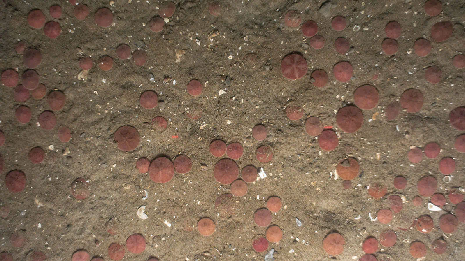
INSPIRE conducted a follow-up survey in 2022 to provide further data to support EFH consultation. In 2022, INSPIRE collected SPI/PV and video imagery with particular focus on the west-southwest portion of the wind farm area and with targeted sampling in the sand ridges located in the northeast portion of the wind farm area. Data were used to confirm benthic habitat delineations using data collected at higher spatial resolution than available in the 2018-2020 benthic data sets and to provide initial information about differences between the crests and troughs of the sand ridges. These data indicated that the crests are primarily fine to medium sands with an abundance of sand dollars, and the sediments in troughs are more varied with a range of composition from very fine sand to sandy gravel and with variable presence of shell fragments/hash and with generally fewer sand dollars than the crests. These findings were further explored in the preconstruction benthic survey.
Benthic Habitat Mapping and Benthic Assessment to Support Essential Fish Habitat Consultation:
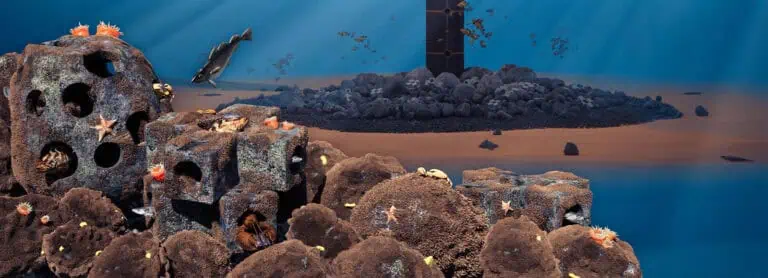
INSPIRE developed a Benthic Habitat Mapping and Benthic Assessment to Support Essential Fish Habitat Consultation report which integrated geophysical data with benthic ground-truth data to delineate benthic habitats across the Project Area. Under this effort, INSPIRE also synthesized benthic ground-truth data collected by multiple contractors (including INSPIRE) between 2018 and 2022 into a comprehensive dataset for benthic assessment. A crosswalk between delineated habitat types and species/life stages with benthic EFH in the Proejct Area was completed and a list of priority species identified and vetted with NOAA Fisheries. The areas of each benthic habitat type that may be potentially affected by Project components were calculated. The report included a review of the sand ridges and recommendation were made to avoid, minimize, or mitigate potential impacts on benthic resources and shellfish.
Sand Ridges Impact Assessment:
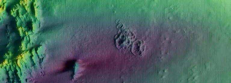
INSPIRE supported Orsted in addressing emergent concerns raised by NOAA Fisheries regarding sand ridges found in the northeastern portion of the wind farm area. NOAA Fisheries identified the area of potentially stable sand ridges using site-specific high-resolution bathymetry provided in INSPIRE’s Popup map for the Project. These sand ridges are geological features that are hypothesized to have distinct EFH properties and were not identified in desktop reviews or addressed in the Project COP and related appendices. INSPIRE provided consulting services to Orsted to review geologic, hydrodynamic, fisheries, and engineering information to advise Orsted’s design and construction team in relation to installation feasibility and to advise Orsted’s permitting team regarding communicating information to BOEM and NOAA Fisheries. Specifically, INSPIRE prepared a detailed response to a request for information from BOEM concerning the sand ridges and evaluating potential impacts of construction of wind turbine generators and array cables amongst the sand ridges. INSPIRE continued to support BOEM, NOAA Fisheries, and Orsted in developing a site-specific understanding of these sand ridges by conducting targeted sampling of these features in 2022 and incorporating focused investigations as part of the benthic monitoring plan.
Benthic Monitoring Plan (BMP):
INSPIRE developed a benthic monitoring plan (BMP) in accordance with recommendations set forth in “Guidelines for Providing Benthic Habitat Survey Information for Renewable Energy Development on the Atlantic Outer Continental Shelf” (BOEM 2019). The benthic monitoring plan was revised through an iterative process, and survey protocols and methodologies were refined and updated based on feedback received from stakeholder groups, including federal and state agencies, including NOAA Fisheries and the New Jersey Department of Environmental Protection. This BMP includes a brief overview of the conditions of the benthic environment associated with the Project as informed by previously conducted baseline surveys and benthic habitat mapping results, specific objectives and hypotheses regarding the potential impacts and recovery of the benthic habitats as a result of the development and operations of the wind farm, and the general approaches proposed to test these hypotheses through benthic habitat monitoring. The BMP included targeted sampling for the sand ridge area in addition to investigations related to impacts expected from Project activities across habitat types found within the Project Area.
Pre-Construction Benthic Survey:
In 2023, INSPIRE conducted an offshore baseline benthic survey, the first of several surveying events outlined in the BMP to provide a description of baseline conditions that will be compared with post-construction results following the development of the Project. The survey design was a stratified before-after gradient (BAG) design, consisting of selected foundation locations based on pre-determined benthic habitat types. The survey included data collection of SPI/PV at 112 stations associated with each of the six selected wind turbine generator positions and one offshore substation position. Additonally, SPI/PV was collected at 81 stations along select transects at the sand ridges in the northeast portion of the wind farm; sediment grab samples were collected at 36 of these stations. Water column parameters (conductivity, temperature, depth [CTD]) were also collected at all SPI/PV stations. The results of this survey were similar to previously reported benthic assessment findings. In general, there were no spatial patterns observed in physical or biological parameters in relation to distance from the proposed wind turbine generator and offshore substation foundation locations or the sand ridge area. The survey was conducted in 2023 before Orsted decided to cease development of the Project; final analysis and reporting for this survey was completed and submitted to Orsted in 2024.
Pre-Construction Submerged Aquatic Vegetation Survey:
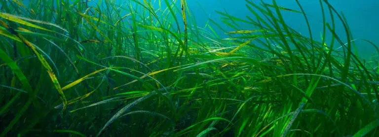
INSPIRE conducted a pre-construction survey in 2022 to map and characterize submerged aquatic vegetation (SAV) in the areas that may have been affected by the Project. The focus area for this baseline survey was the Oyster Creek Inshore Export Cable Route Corridor, which passes through Barnegat Bay where SAV beds were previously documented. The objective was to refine the SAV bed delineations mapped using aerial imagery in 2019 by collecting in-water ground-truth imagery. Landfall options were being considered on the western side of Barnegat Bay where SAV beds are found in shallow waters. This additional pre-construction SAV survey was conducted as part of the Ocean Wind SAV-specific benthic monitoring plan and was suggested by the New Jersey Department of Environmental Protection after reviewing previous baseline data. INSPIRE focused the survey work on a 500-ft buffer on both sides of the two cable route options at the landfall areas. SAV coverage was described as complete, patchy, or sparse. These data were used to inform the design and avoidance strategies of the Project, such as cable routing and mooring/anchoring locations. Specifically, the route was adjusted to minimize impacts on continuous SAV beds and was realigned through a previously dredged navigation channel.
Science Support of Fisheries Outreach:
INSPIRE developed a protocol to document outreach activities between Orsted personnel and fisheries-related stakeholders. Outreach activities included one-on-one interactions and group meetings that were logged via a data entry form, which was either accessed online in real-time or at a later date when information was inputted from printed entries. Data was captured in a Microsoft Excel file by Orsted personnel that was then sent to INSPIRE to import into a Microsoft Access database. INSPIRE created report templates using Power BI to address specific communication needs; these reports were automatically updated when new information was imported into the Microsoft Access database.

