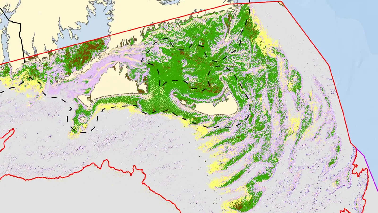
Regional Wildlife Science Collaborative Regional Sediment Mapping
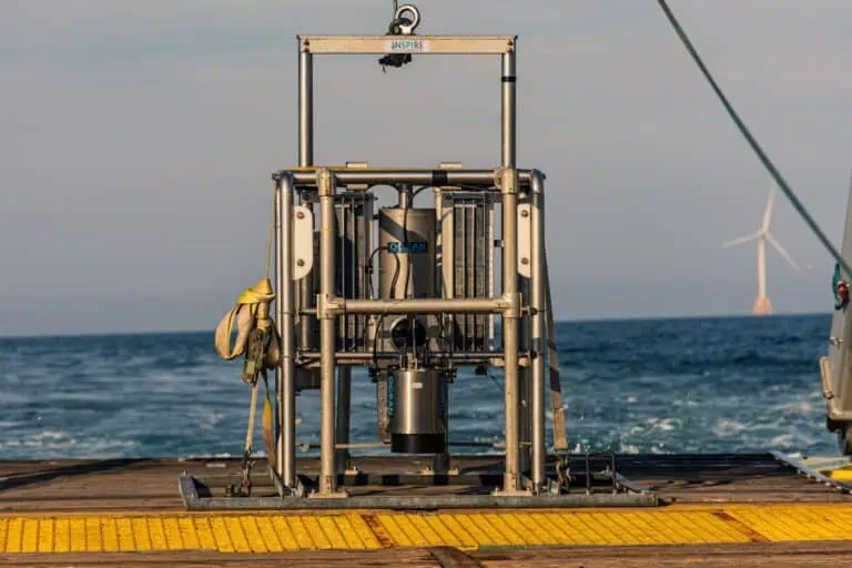
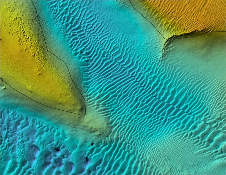
INSPIRE and the Northeast Ocean Data Portal and, once formed, the Regional Wildlife Science Collaborative (RWSC) conducted a pilot project funded by the Massachusetts Clean Energy Center to work with the northeast regional community of offshore developers, scientists, and federal and state regulators to investigate options for sharing data on sediment type and seafloor characteristics and to develop a modeling approach for regional sediment distribution.
INSPIRE worked with RWSC to host meetings, solicit feedback, conduct interviews related to methodology and ideas for data sharing, and presented results.
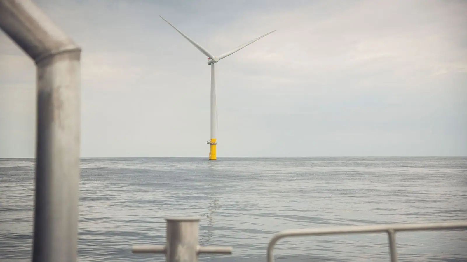
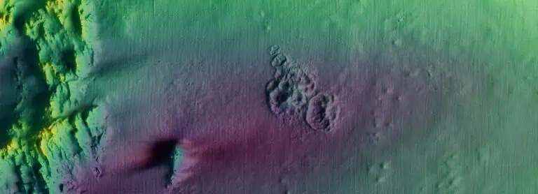
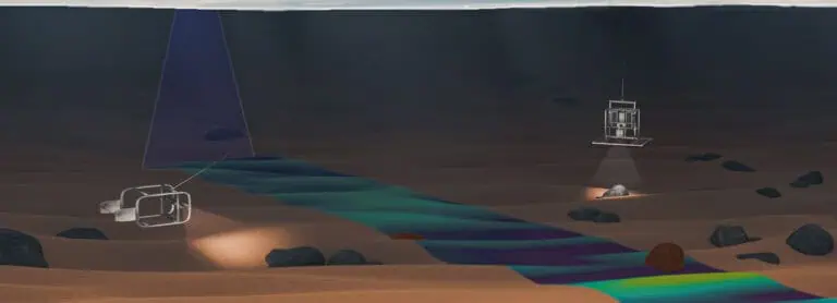
The project sought to develop and evaluate a systematic workflow for generating regional-scale sediment maps using public geospatial data that may pose integration and modeling challenges. To demonstrate this approach, sediment distributions were characterized on the northeastern US continental shelf where offshore wind development has occurred since 2016. Publicly available sediment and bathymetric data in the region were processed using national classification standards and spatial tools, respectively, and integrated using a machine learning algorithm to predict sediment occurrence. Overall, this approach and the generated sediment composite effectively predicted sediment distributions in coastal areas but underperformed in offshore areas where data were either scarce or of poor quality. Despite these shortcomings, this study builds on benthic habitat mapping efforts and highlights the need for regional collaboration to standardize seafloor data collection and sharing activities for supporting offshore wind energy decisions.
INSPIRE scientists published the results of this project in a Special Issue of Geosciences (Capizzano et al. 2024).
Interested in speaking with us about your projects?
Contact INSPIRE Environmental today for additional Information about our services
Related Services
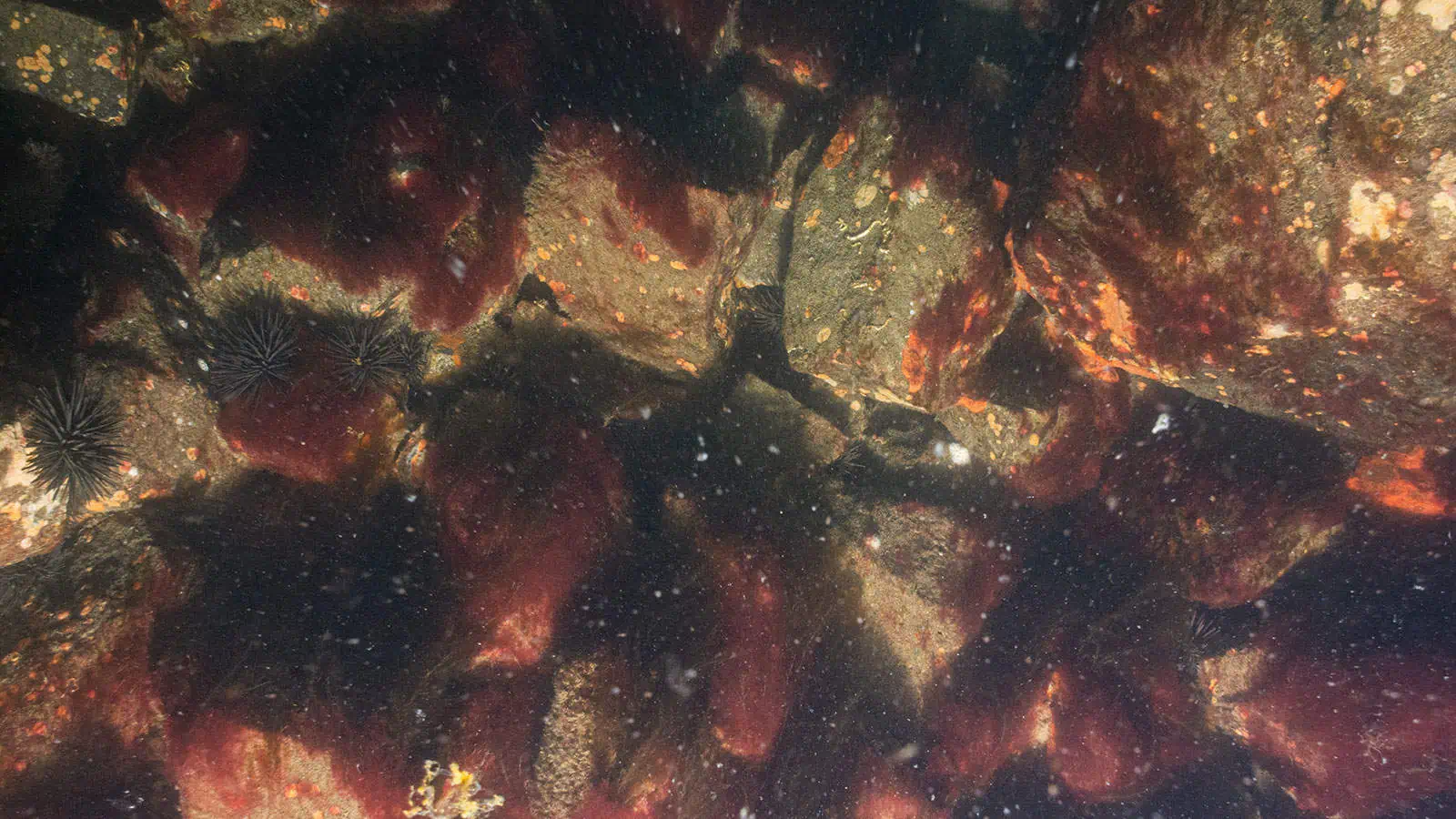
TKI Offshore Wind Scour Protection for Ecological Enhancement Project
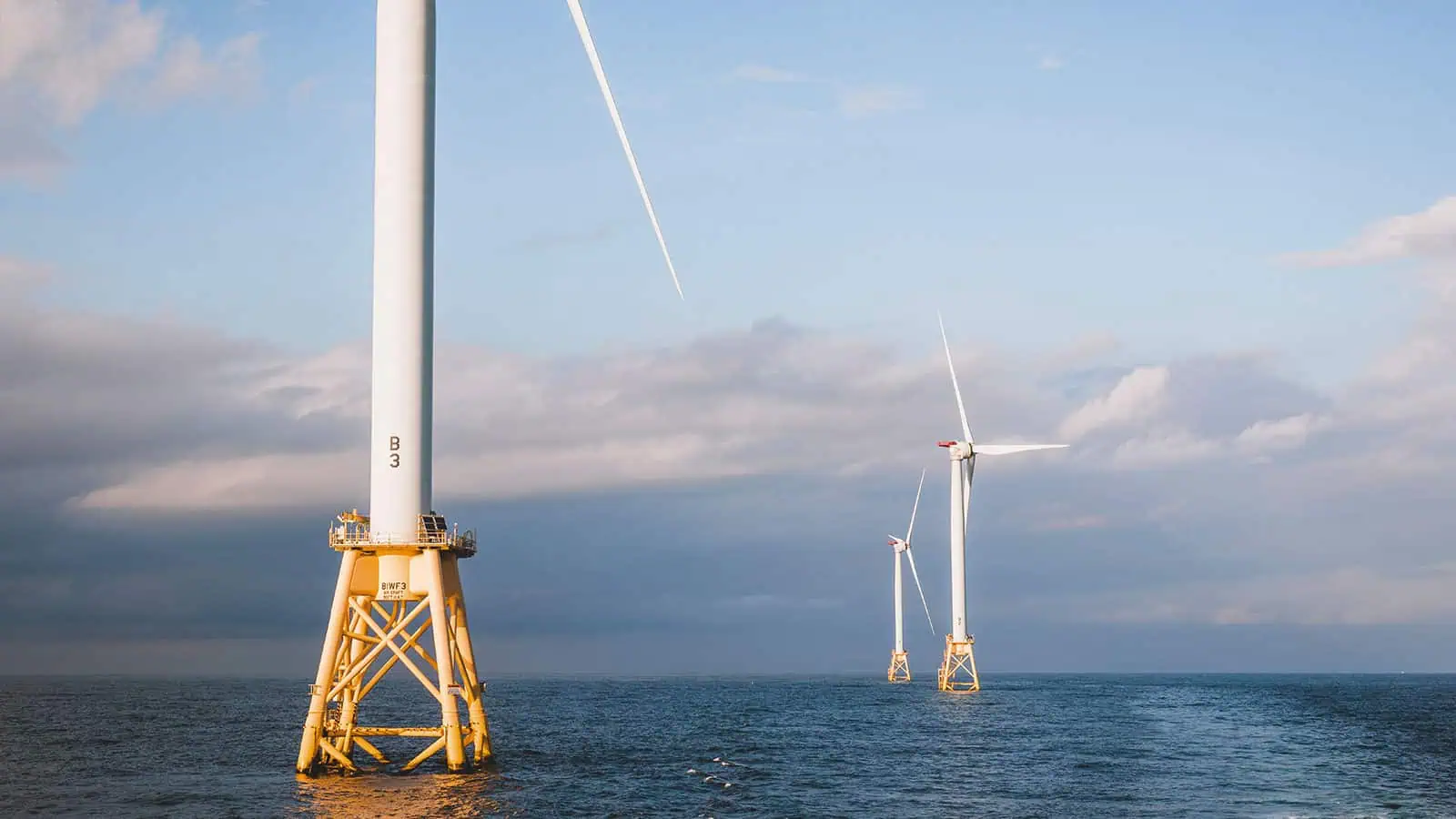
MOCEAN Consortium
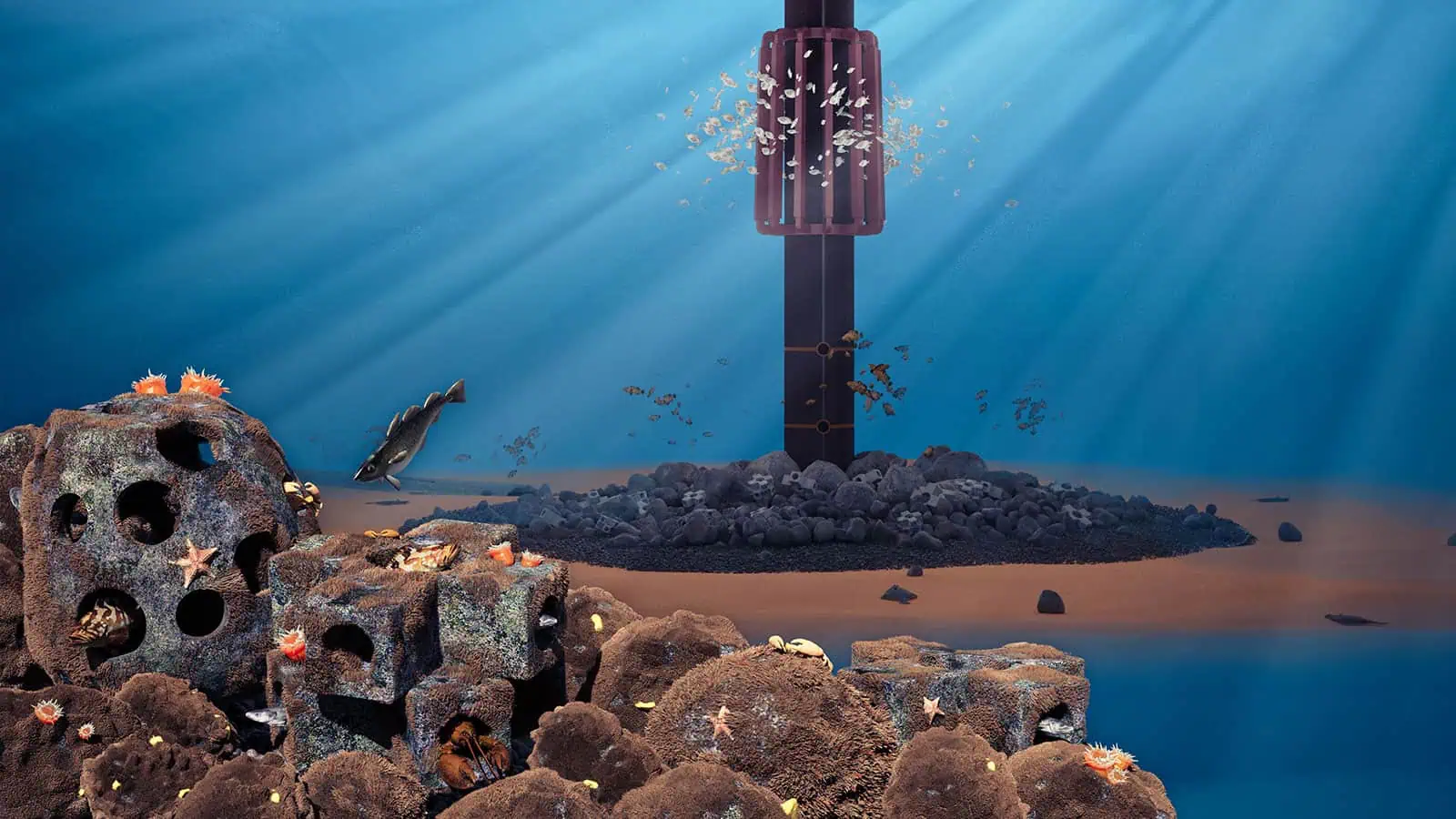
The Nature Conservancy Turbine Reefs Project
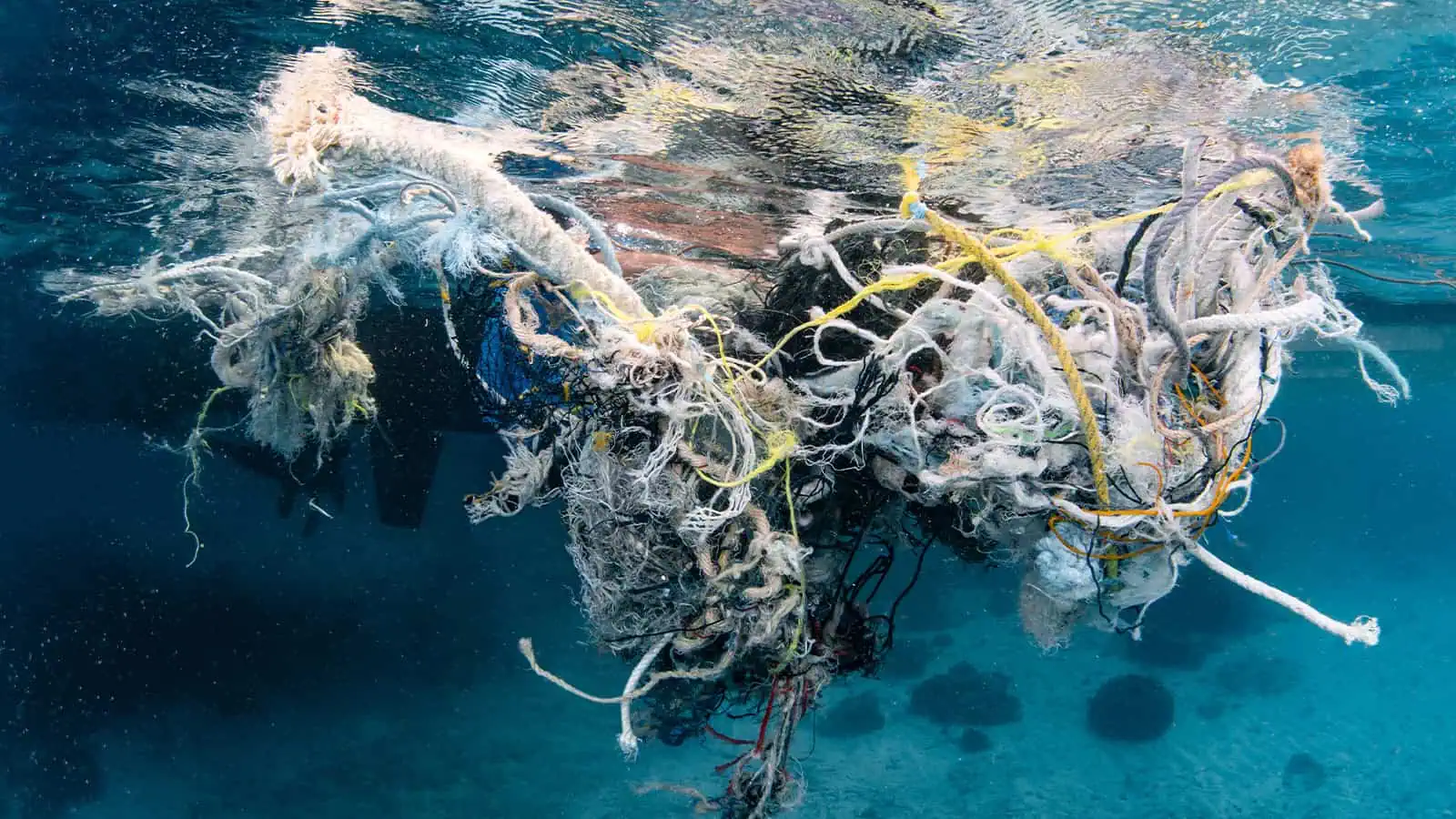
Monitoring Technologies for Ghost Gear and Ecosystem Biodiversity
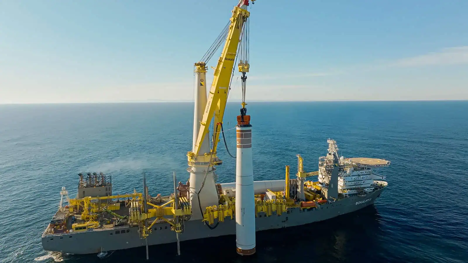
Cape Holland Vibroacoustic Modelling
