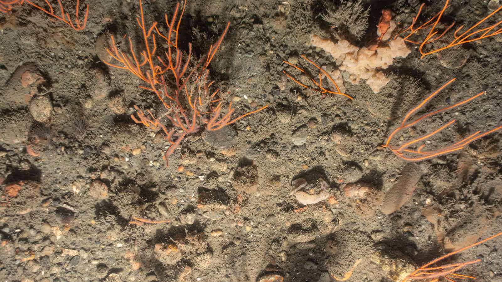
Skipjack Offshore Wind Project
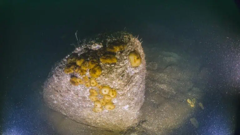
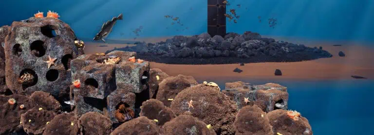
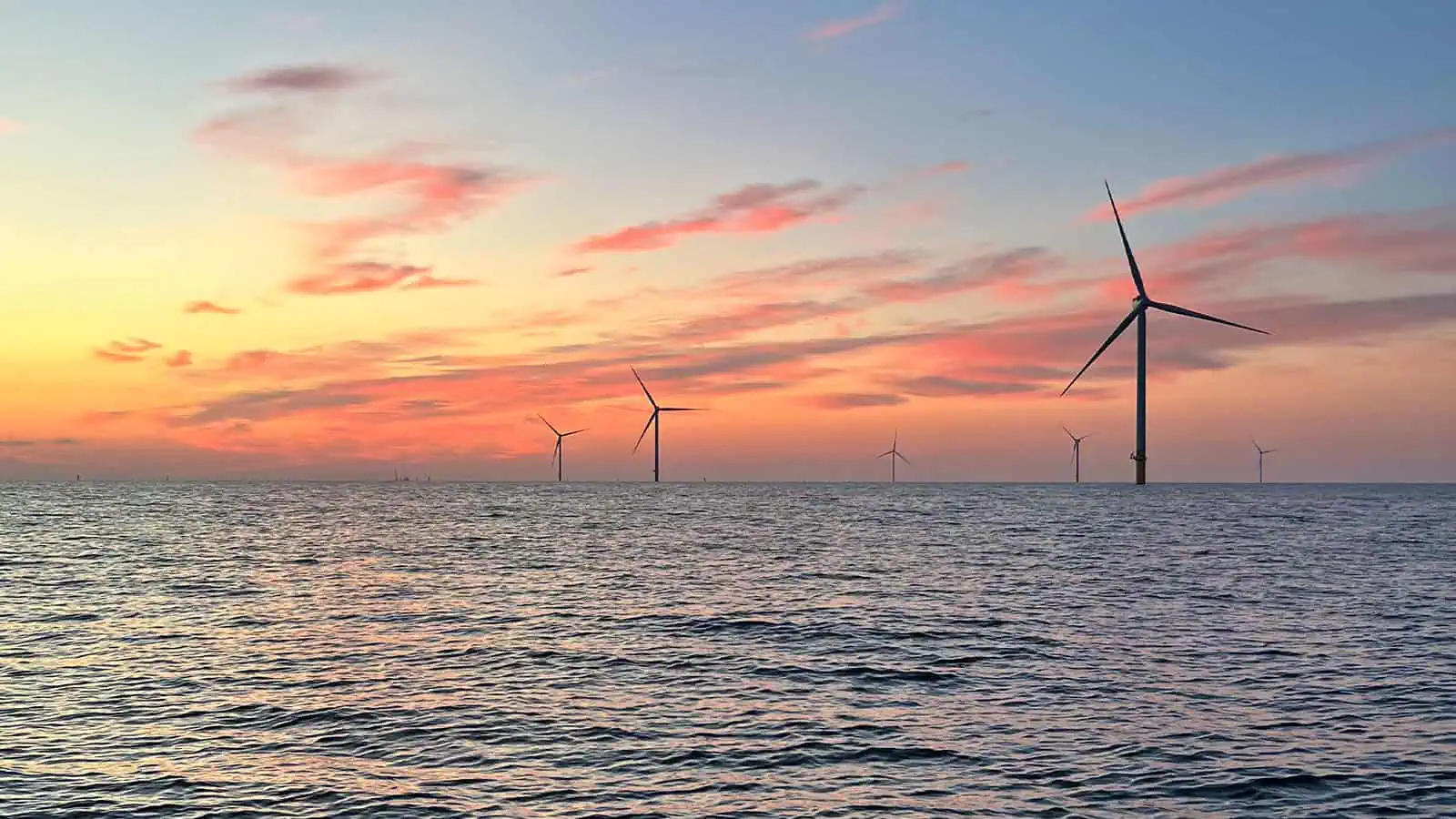
INSPIRE Environmental has supported Orsted’s Skipjack Wind Project since 2018 and provides valued benthic expertise to the developer. INSPIRE has conducted multiple benthic surveys at the Skipjack Wind Project Area using sediment profile (SPI) and plan view (PV) imaging, as well as towed video and sediment grab samples, to gather data to support benthic assessments for permitting approvals and the essential fish habitat (EFH) federal consultation process. INSPIRE also provided the EFH and Commercial and Recreational Fisheries Assessments, evaluating these resources and potential impacts to support permitting review. INSPIRE also prepared a benthic monitoring plan to evaluate changes over time.
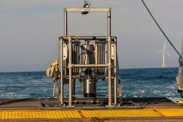
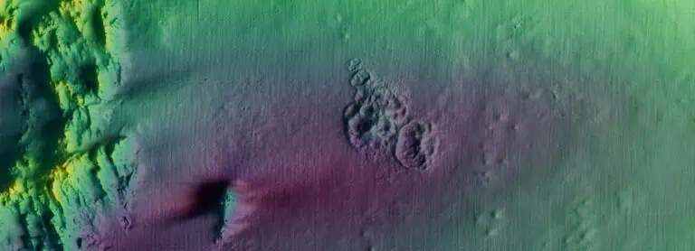
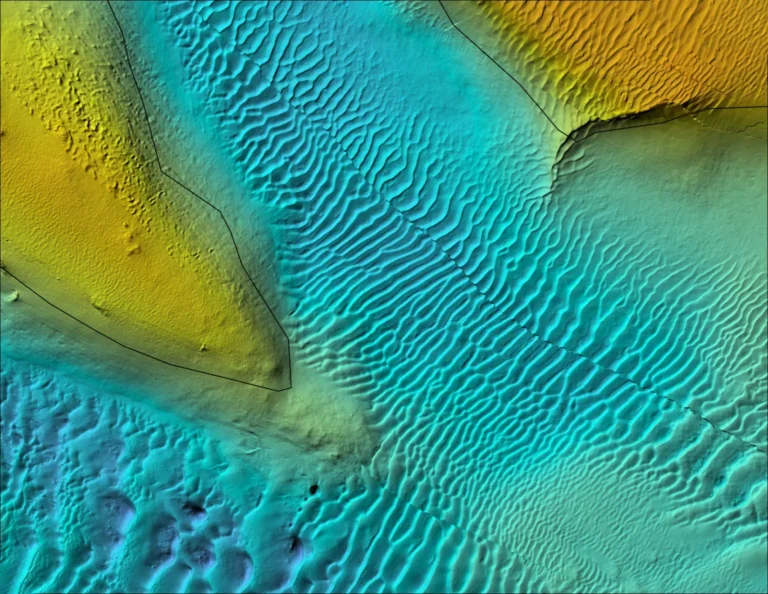
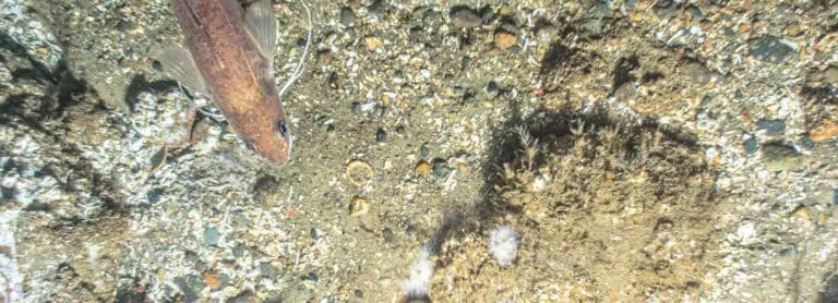
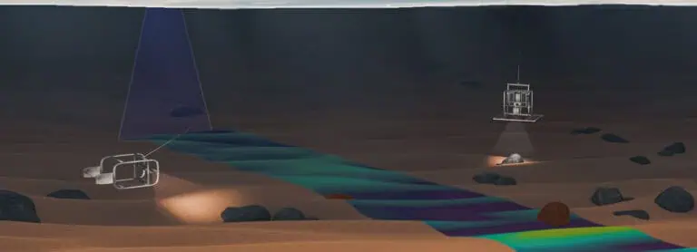
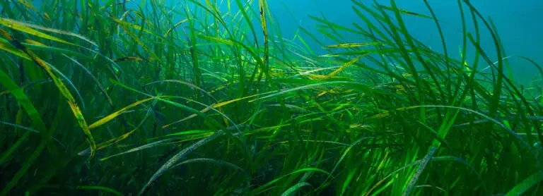
Baseline benthic data were collected at the Skipjack Wind Farm and export cable corridors using SPI/PV, towed video, and sediment grabs to characterize the benthic habitats and taxa. The SPI/PV surveys were conducted at the sampling density guidelines set by BOEM: a resolution of 1.9 km´ in the lease area and 1.9 km spacing along the export cable corridors. A subset of the SPI/PV stations (25%) were sampled with sediment grabs for benthic community analysis and sediment grain size. Prior to the benthic survey preliminary geophysical data (high-resolution multibeam echosounder [MBES] and side-scan sonar [SSS]) was reviewed and planned video transects were determined based on the review of the geophysical data and in situ review of SPI/PV imagery. A video survey to identify any submerged aquatic vegetation present in Indian River Bay was also conducted. All benthic data were compiled, synthesized, and interpreted together in the ‘Benthic Resource Characterization’ report, and the data from the benthic survey and the geophysical survey were analyzed and interpreted for the ‘Benthic Habitat Mapping to Support Essential Fish Habitat Consultation’ report .’
Interested in speaking with us about your projects?
Contact INSPIRE Environmental today for additional Information about our services
Related Services
Ocean Wind Offshore Wind Project
Coastal Virginia Offshore Wind Pilot Project Foundation Monitoring
Sunrise Offshore Wind Project
South Fork Offshore Wind Project
