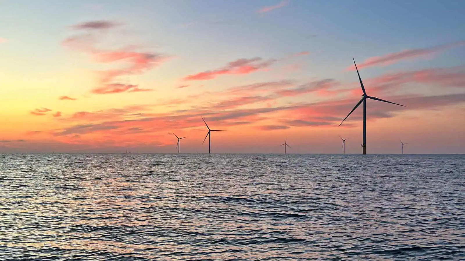
South Fork Offshore Wind Project
South Fork Wind is a fully operational offshore wind farm that required myriad federal and state permits, federal and state environmental impact analyses, and complicated siting and design decisions due to environmental and engineering constraints. The project was also subject to intense public scrutiny from a wide array of interested parties. INSPIRE has been providing environmental assessment, regulatory, and public engagement support services essential to the siting, permitting, and post-construction monitoring of the South Fork Wind Farm and South Fork Export Cable since 2017. The South Fork Wind Farm, which is now complete, is comprised of 12 wind turbines that generate 132 megawatts (MW) of clean energy. The project is located 35 miles east of Montauk Point, New York and delivers power via a subsea cable to approximately 70,000 homes in Long Island, NY. The South Fork Wind Farm is in water depths ranging from 32 to 43 m and the export cable stretched from the Rhode Island/Massachusetts Wind Energy Area (WEA) to landfall on the southern shore of Long Island.
INSPIRE’s work supported National Environmental Policy Act (NEPA) review of the project and critical regulatory milestones, including approval of a BOEM Construction and Operations Plan (COP), a U.S. Army Corps of Engineers Individual Permit from the New York District, and successful National Oceanic and Atmospheric Administration (NOAA) Fisheries Essential Fish Habitat (EFH) Consultation. Our work also supported New York State permitting and consultations, such as the Article VII Transmission Siting process and Coastal Zone Management Plan Consistency Certification. INSPIRE continues to collaborate with SUNY Stony Brook, Cornell Extension Service and Monmouth University on critical fisheries monitoring requirements in New York state waters.
Benthic Assessment and Habitat Mapping
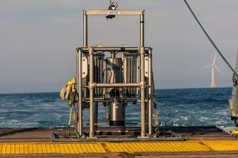
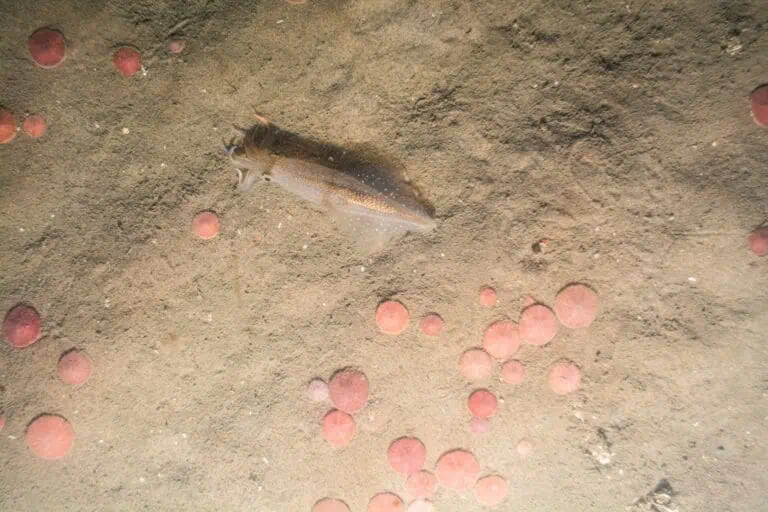
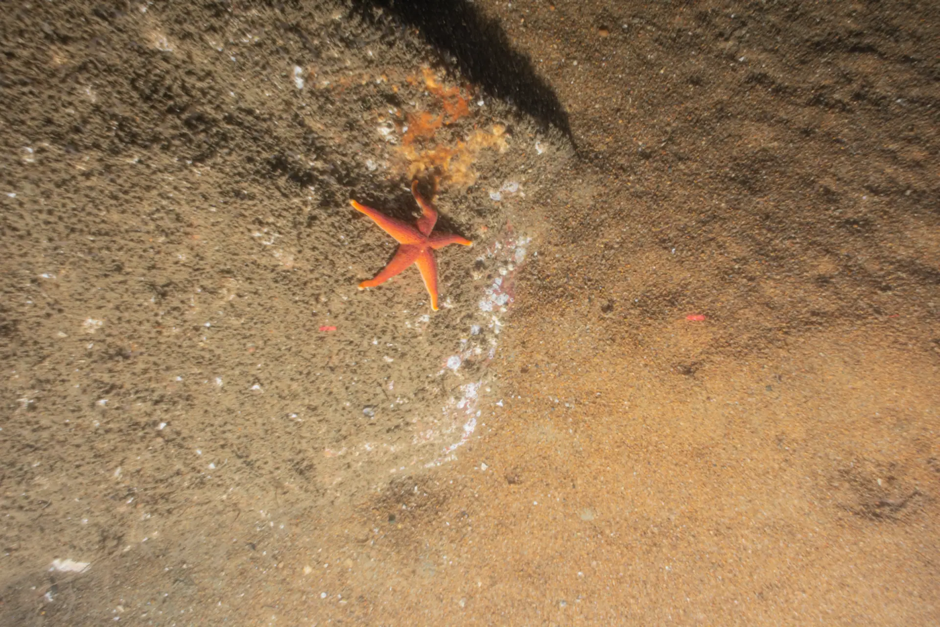
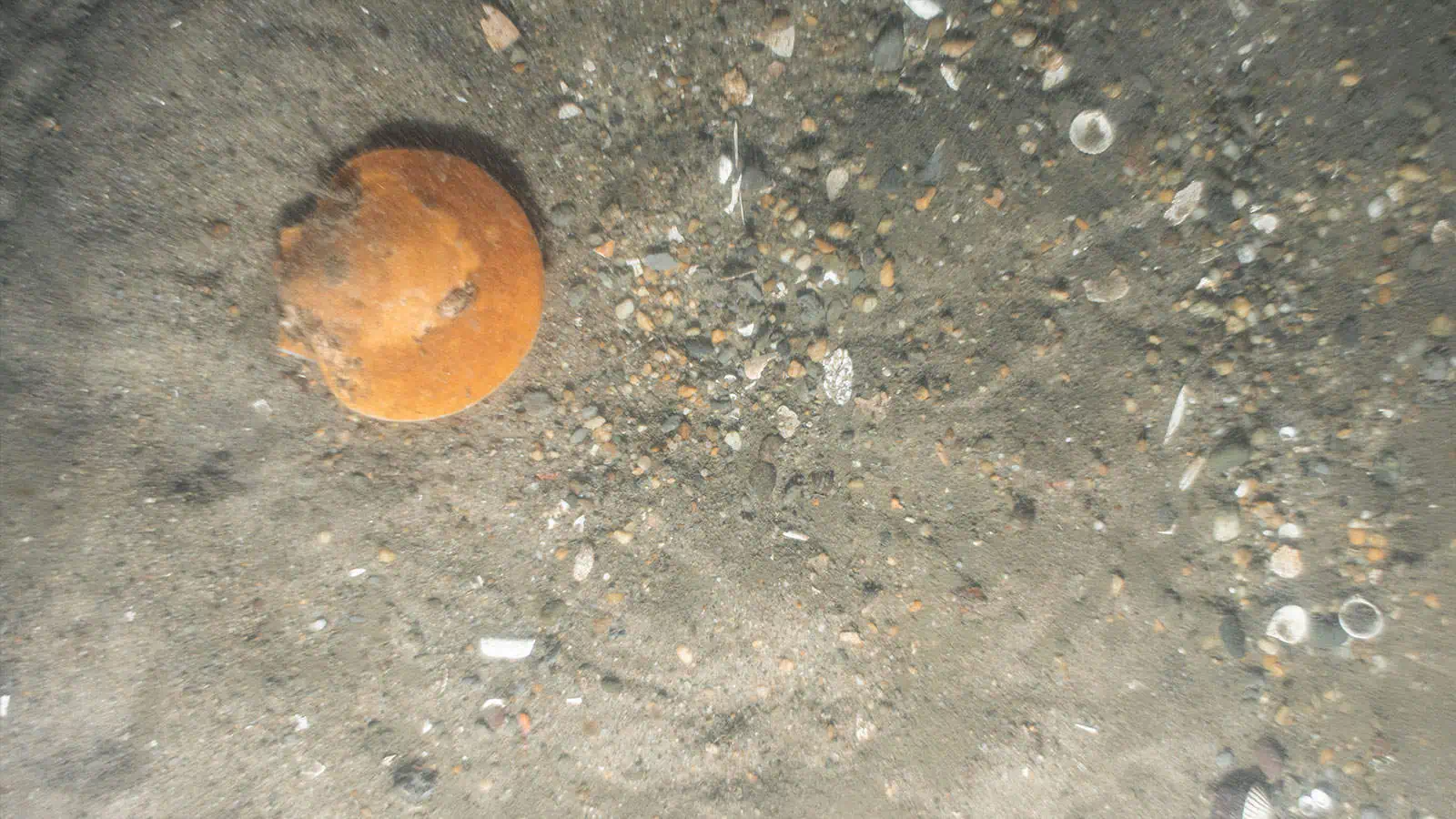
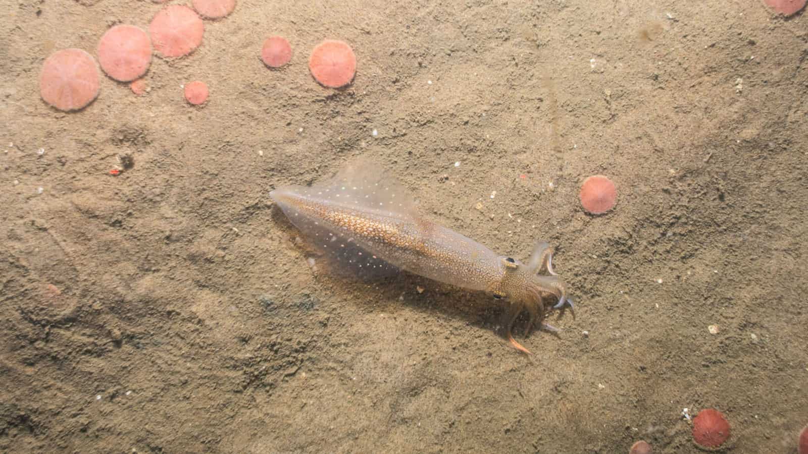
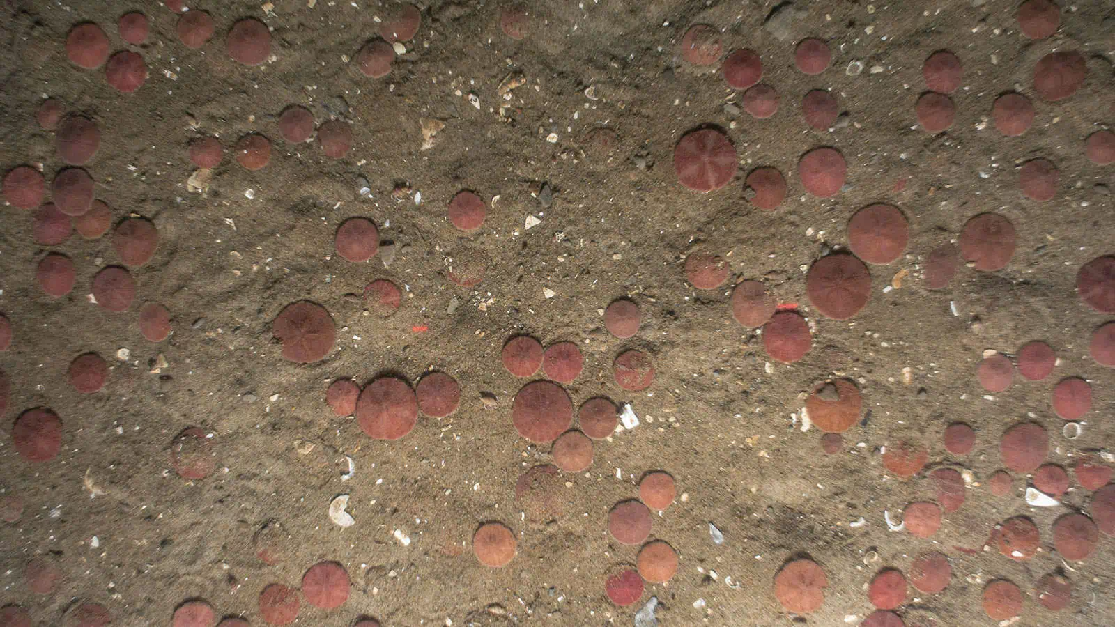
To support the COP submitted to BOEM, INSPIRE collected SPI/PV imagery at 161 stations sampled across two survey years (2017, 2018) within the proposed South Fork Wind Farm, along the South Fork Export Cable route, and at reference stations east of the proposed wind farm. A comprehensive report summarizing sediment types, bedforms, and types of biota observed was delivered. SPI/PV images aided regulators in gaining a greater understanding of the benthic habitats and communities in the project area. The report was provided to BOEM as an Appendix to the COP.
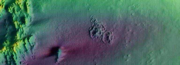
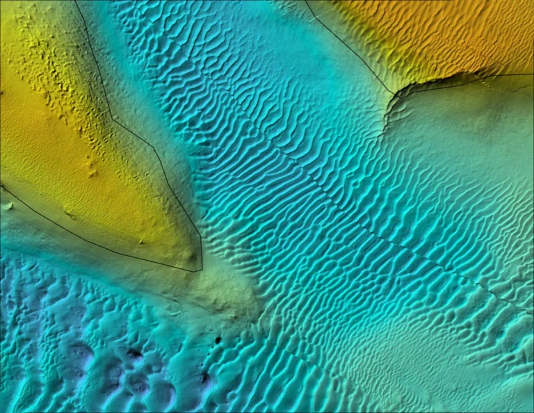
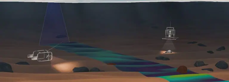
Results from the SPI/PV survey were used to ground-truth data collected through MBES and side-scan sonar. These results were integrated to map benthic habitats and crosswalk these to EFH. A comprehensive report was presented to BOEM and NOAA Fisheries for review and was included as an Appendix to the COP. INSPIRE worked closely with BOEM and NOAA Fisheries to provide data for exploration for NOAA Fisheries to use as real-world examples in developing their recommendation for mapping essential fish habitat for their review.
Public Engagement and Fisheries Outreach
INSPIRE In response to concern from the fishing community, INSPIRE worked with local fishers and Orsted to develop and distribute a portable, integrated flash drive detailing the South Fork project areas for distribution to the fishing community. Electronic files on the flash drive included location data for the primary survey area, cable route and landing areas, and additional recon area. INSPIRE attended multiple Fishermen’s Advisory Board Meetings to explain the project to interested parties and answer questions from a concerned audience. INSPIRE developed a fact sheet on the basic science of underwater acoustics, how and what fishes hear, how the sound from pile driving is modeled, what the potential for impacts to fishes (and possibly invertebrates) are, and what is being done to minimize impacts.
Cultural Resources
INSPIRE supported the selection of cultural core locations by working directly with the Narragansett Indian Tribal Historic Preservation Office on paleolandscape conditions. The project Popup Map was modified to share seafloor bathymetry and shallow seismic data in relation to the proposed cable corridor. Through shared dialogue regarding oral history and geologic evidence in the seismic data, locations were defined to collect vibracores for tribal and archaeological assessment of potential cultural artifacts within the seafloor.
Fisheries Surveys
INSPIRE scientists and scientific research anglers collected data including total catch, cod spawning condition, water quality, and physical/oceanographic conditions at all fishing stations. Assessments included cod catch/spawning condition, bycatch, water quality, surface conditions/oceanographic, and echosounding. SPI/PV images aided regulators in gaining a greater understanding of the benthic habitats and communities in the project area. The report was provided to BOEM as an Appendix to the COP.
In consultation with NOAA Fisheries, INSPIRE scientists determined zooplankton and ichthyoplankton taxa present and calculated densities by month within the construction timeframe. Utilizing standard entrainment calculations, a range of potential losses of zooplankton and ichthyoplankton were calculated. These results were compared with other entrainment studies in the region to contextualize results from this research. The results from this study were documented in the COP.
Federal and State Permitting Support and Expert Witness Testimony
INSPIRE scientists drew on a decade of experience assessing benthic and fisheries resources in relation to offshore wind farm development to make valuable contributions to key sections of the COP submitted to BOEM for the South Fork project, which informed NEPA review of the project. INSPIRE supported EFH Consultation, drafted responses to public comments on the Draft and Final Environmental Impact Statements (DEIS and FEIS) and supported the client with the New York State Article VII transmission line licensing process. INSPIRE scientists served as subject matter experts and expert witnesses during Article VII discussions with stakeholders and hearing to aid in the development of the benthic monitoring requirements within NY state waters, which have now become the general standard conditions that typically serve as the starting point for subsequent offshore wind cable routes through NY state waters.
Benthic Monitoring
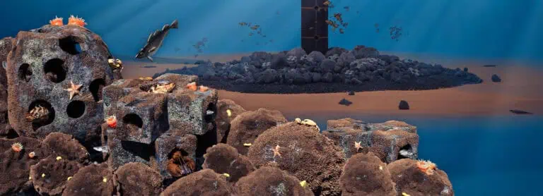
INSPIRE drafted a comprehensive benthic monitoring plan which was incorporated into South Fork’s Fisheries Research and Monitoring Plan. The plan focused on addressing key hypothesis-driving research questions on the influence of offshore wind development on benthic habitats including the introduced structures as habitat and the surrounding seafloor. The plan was approved and is being implemented.
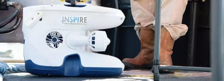
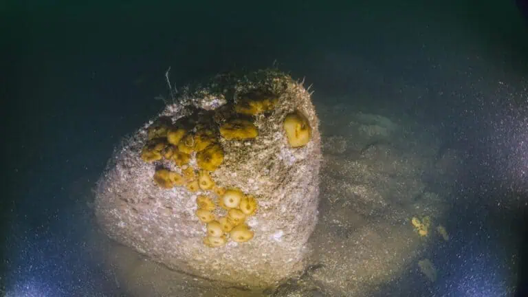
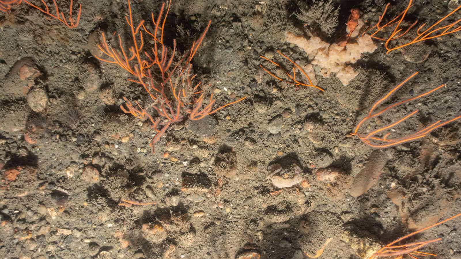
INSPIRE conducted the first of several benthic surveys as part of executing the benthic monitoring plan developed for South Fork Wind. This work is expected to continue in alignment with the monitoring program. The benthic surveys have included the collection and interpretation of SPI/PV imagery (soft bottom benthic habitats) and ultra-high-resolution underwater imagery collected using an ROV (hard bottom benthic habitats), through a partnership with small business Marine Imaging Technologies. Image analysis and interpretation has involved the use of automated processes to facilitate efficiencies, produce quantitative data for statistical comparisons over time, and deter bias.
Fisheries Monitoring
INSPIRE developed a Fisheries Research and Monitoring Plan in accordance with recommendations made by BOEM Guidelines for Providing Information on Fisheries for Renewable Energy Development on the Atlantic Outer Continental Shelf (2019) and by state agencies Rhode Island Coastal Resources Management Council, New York State Energy Research and Development authority, and Massachusetts Division of Marine Fisheries. The plan was approved and has been implemented with SUNY Stony Brook, Cornell and Monmouth Universities.
In partnership with the Commercial Fisheries Research Foundation (CFRF), which is conducting beam trawl, fish pot, and ventless trap surveys, INSPIRE is managing all the survey data, conducting QA/QC, analyzing the data for significance and preparing monitoring reports for each survey type.

