SouthCoast Offshore Wind Project
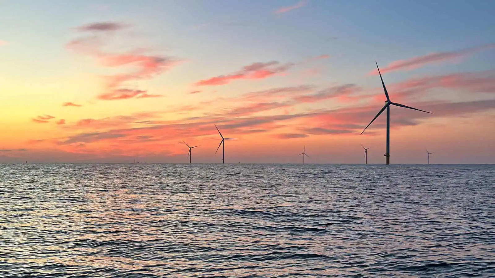
SouthCoast Wind, formerly known as Mayflower Wind, is a proposed offshore wind farm in U.S. federal waters about 30 miles south of Martha’s Vineyard and 23 miles south of Nantucket, Massachusetts in Lease OCS-A 0521, which covers 127,388 acres. SouthCoast retained INSPIRE Environmental to analyze previously collected data to develop benthic habitat mapping to support Essential Fish Habitat (EFH) consultation. SouthCoast also hired INSPIRE to write benthic and fisheries monitoring plans to meet federal and state regulatory needs.
Habitat Mapping and Essential Fish Habitat Consultation
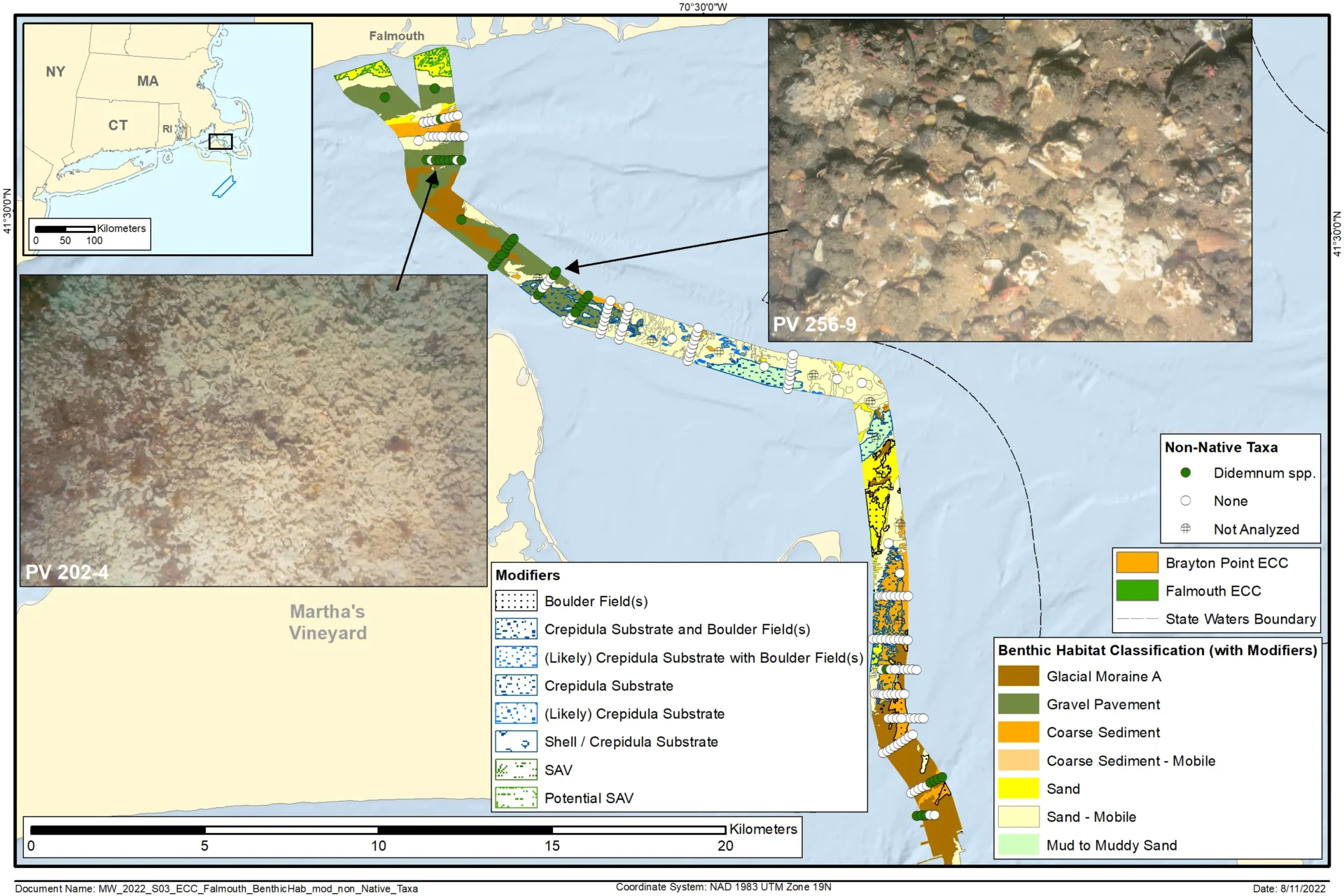
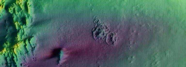
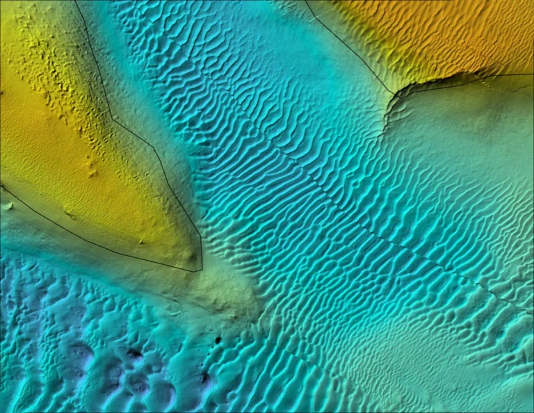
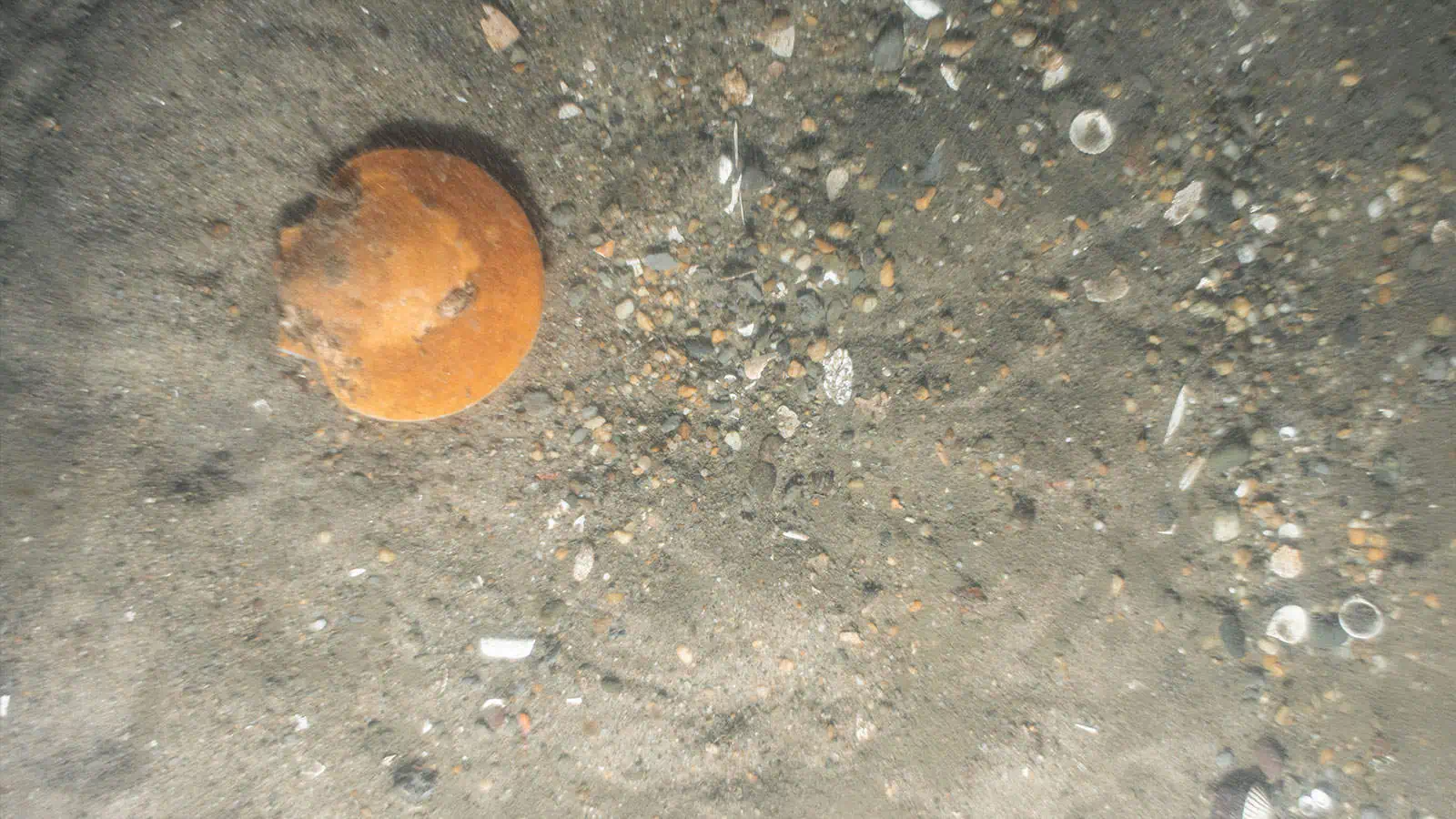
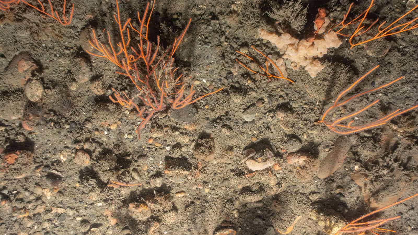
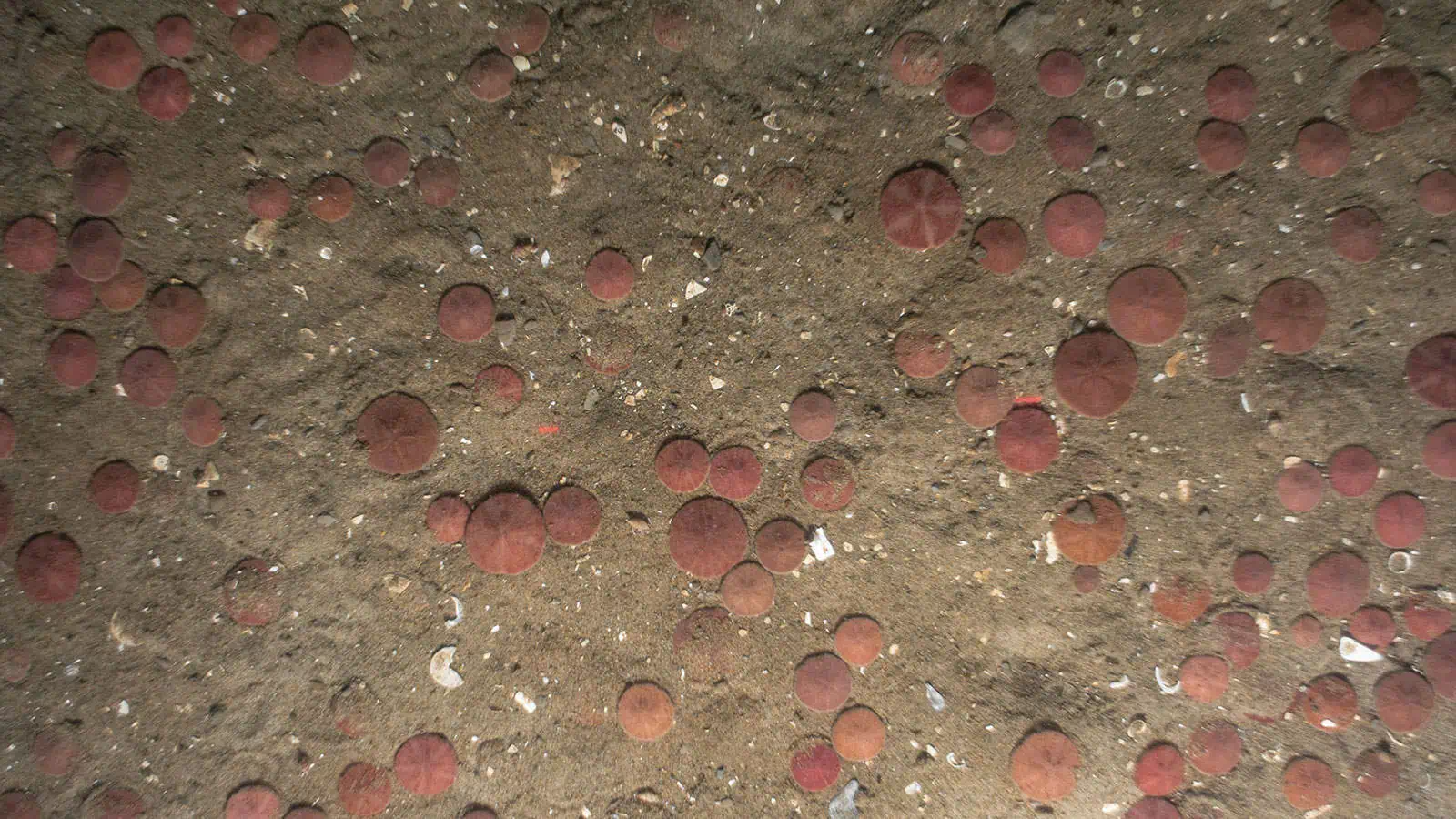
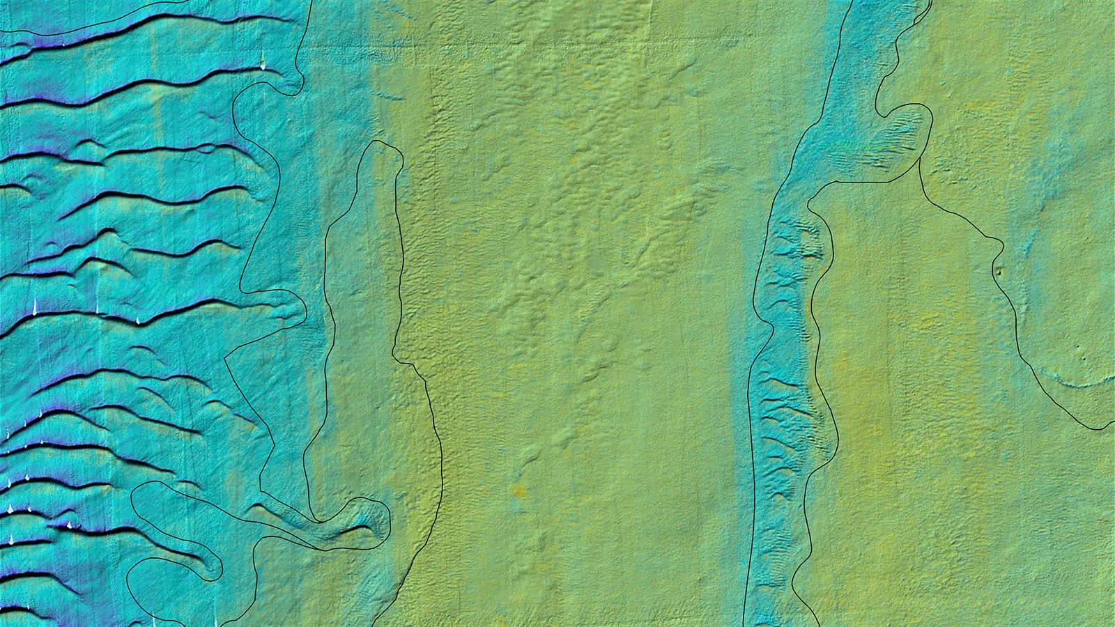
The purpose of the benthic habitat mapping report and associated data was to provide detailed information about the physical and biological characteristics and spatial distribution of benthic habitats found within the Study Area, which includes the subtidal seafloor of the Lease Area, the Falmouth Export Cable Corridor (ECC), and the Brayton Point ECC. These benthic habitat mapping data were intended to serve as foundational data for an evaluation of benthic habitat types that may be impacted by the SouthCoast Wind Project and, subsequently, the demersal species with essential fish habitat (EFH) designated in the Study Area that may be impacted by Project-related disturbances to these seafloor habitats. The report and associated data were provided to support the Bureau of Ocean Energy Management (BOEM) EFH consultation with the National Oceanic and Atmospheric Administration (NOAA) National Marine Fisheries Greater Atlantic Regional Fisheries Office Habitat Conservation and Ecosystem Services Division (NMFS) and met the requirements of BOEM Benthic Survey Guidelines (2019) and NMFS recommendations (NMFS, 2021).
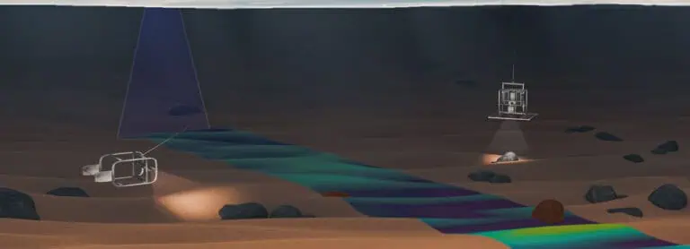
SouthCoast Wind collected extensive geophysical data and ground-truth data to support the mapping and characterization of habitats within the Study Area. INSPIRE conducted benthic habitat mapping by using these geophysical and ground-truth data to further delineate and refine geological seabed interpretations prepared for the SouthCoast Wind Marine Site Investigation Report into detailed benthic habitat classifications mapped across the Study Area. These benthic habitat classifications were crosswalked both to NMFS Complexity Categories and to EFH for species and life stages of demersal taxa with designated EFH in the Study Area.
Image Analysis and Data Visualization
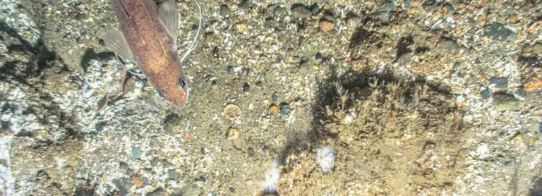
INSPIRE conducted a complete inventory of all data collected by sampling type (sediment profile and plan view imaging (SPI/PV), sediment grab sampling, and GrabCam imaging (a video camera attached to the grab sampler)) for all surveys at each station and produced a comprehensive synthesis ground-truth data set to support habitat mapping and to provide SouthCoast within an interactive data visualization tool (Popup map).
State-Level Technical Reports
INSPIRE provided state-level reports for consideration of state agencies:
Benthic Habitat Mapping to Support State Permitting Applications – Brayton Point ECC for MA State Waters, Benthic Habitat Mapping to Support State Permitting Applications – Falmouth ECC for MA State Waters, and Benthic Habitat Mapping to Support State Permitting Applications – Brayton Point ECC for RI State Waters and Geographic Location Description (GLD).

