Sunrise Offshore Wind Project
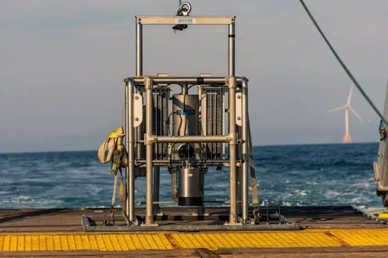
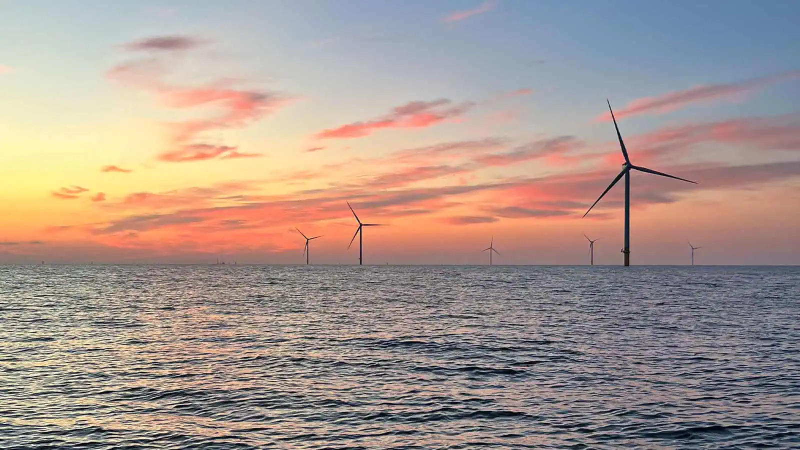
INSPIRE conducted surveys to characterize the benthic environment associated with Orsted’s Sunrise Wind Farm, Sunrise Wind Export Cable, and the Horizontal Directional Drill of the Onshore Transmission Cable under the Intracoastal Waterway. The surveys included SPI/PV, sediment grabs, and video imagery and provided Sunrise Wind with data to address the Bureau of Ocean Energy Management (BOEM)’s regulations and guidelines for the proposed development of all offshore wind projects in US federal waters, and the National Oceanic and Atmospheric Administration (NOAA) Habitat’s recommendations for mapping essential fish habitat, while also considering the New York State Seagrass Task Force Report, the New York State Energy Research and Development Authority (NYSERDA)’s Offshore Wind Master Plan, and the National Park Service Fire Island regulations (Code of Federal Regulations, Title 36).
Benthic Survey and Habitat Mapping
During initial survey planning, a Benthic Survey Protocol was prepared and submitted to federal and state agencies for review. Meetings were held with representatives from BOEM, NOAA, the National Park Service, New York State Department of Environmental Conservation, NYSERDA, New York Department of State, Massachusetts Division of Marine Fisheries, Massachusetts Office of Coastal Zone Management, Rhode Island Department of Environmental Management, and Rhode Island Coastal Resources Management Council to discuss survey logistics, field techniques and equipment, data acquisition systems, parameters to be measured, data processing, analysis and interpretation, and report format. Information from that meeting was incorporated into a revised version of the Benthic Survey Protocol and provided to agencies in January 2020 with additional written comments received shortly thereafter, incorporated into a final revised version provided to agencies in April 2020.
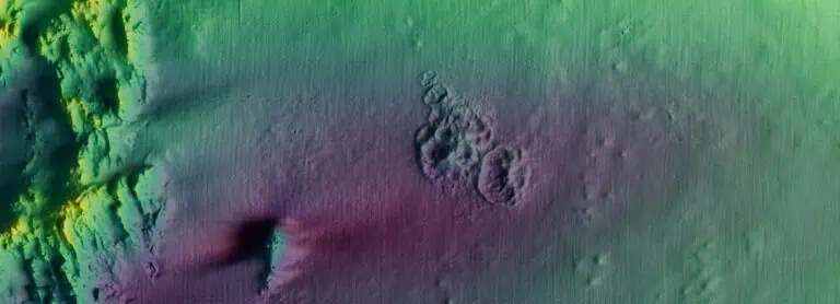
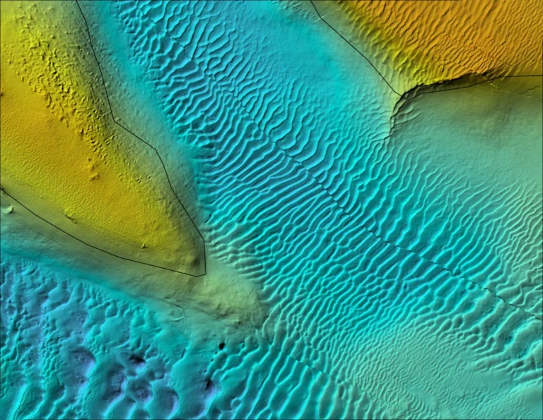
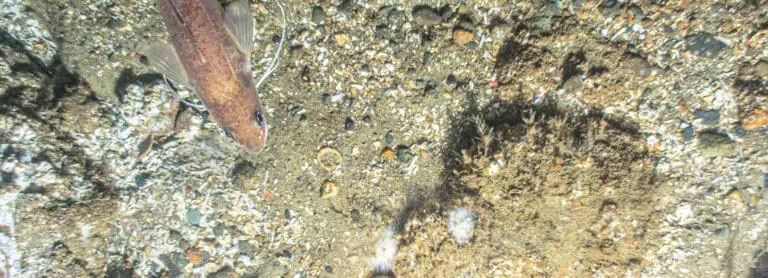
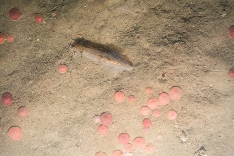
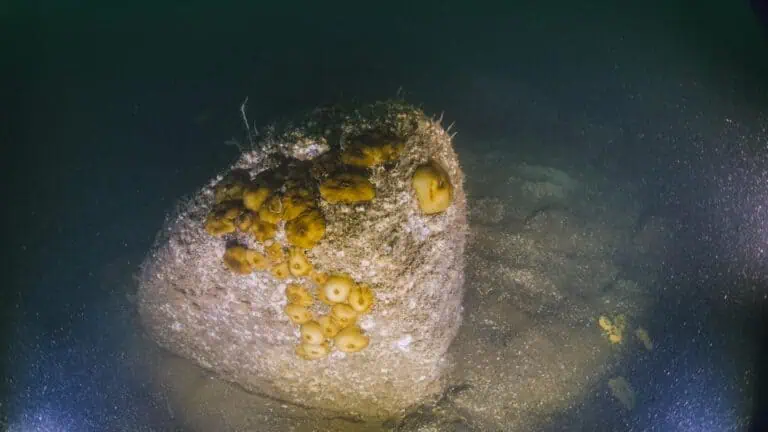
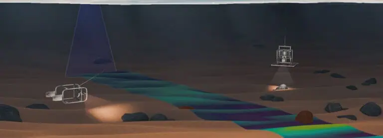
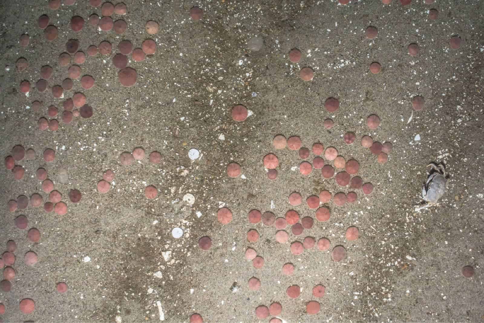
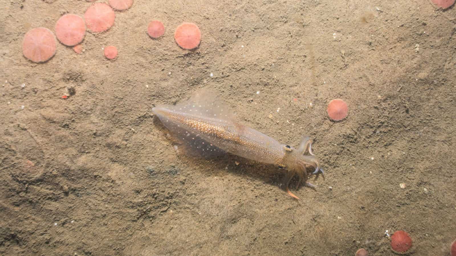
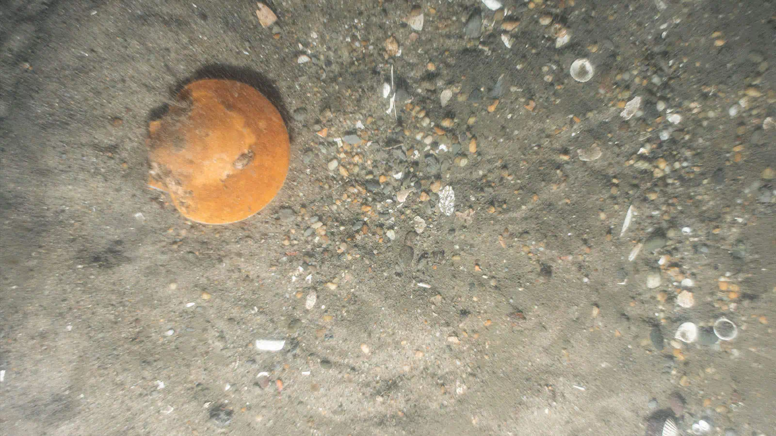
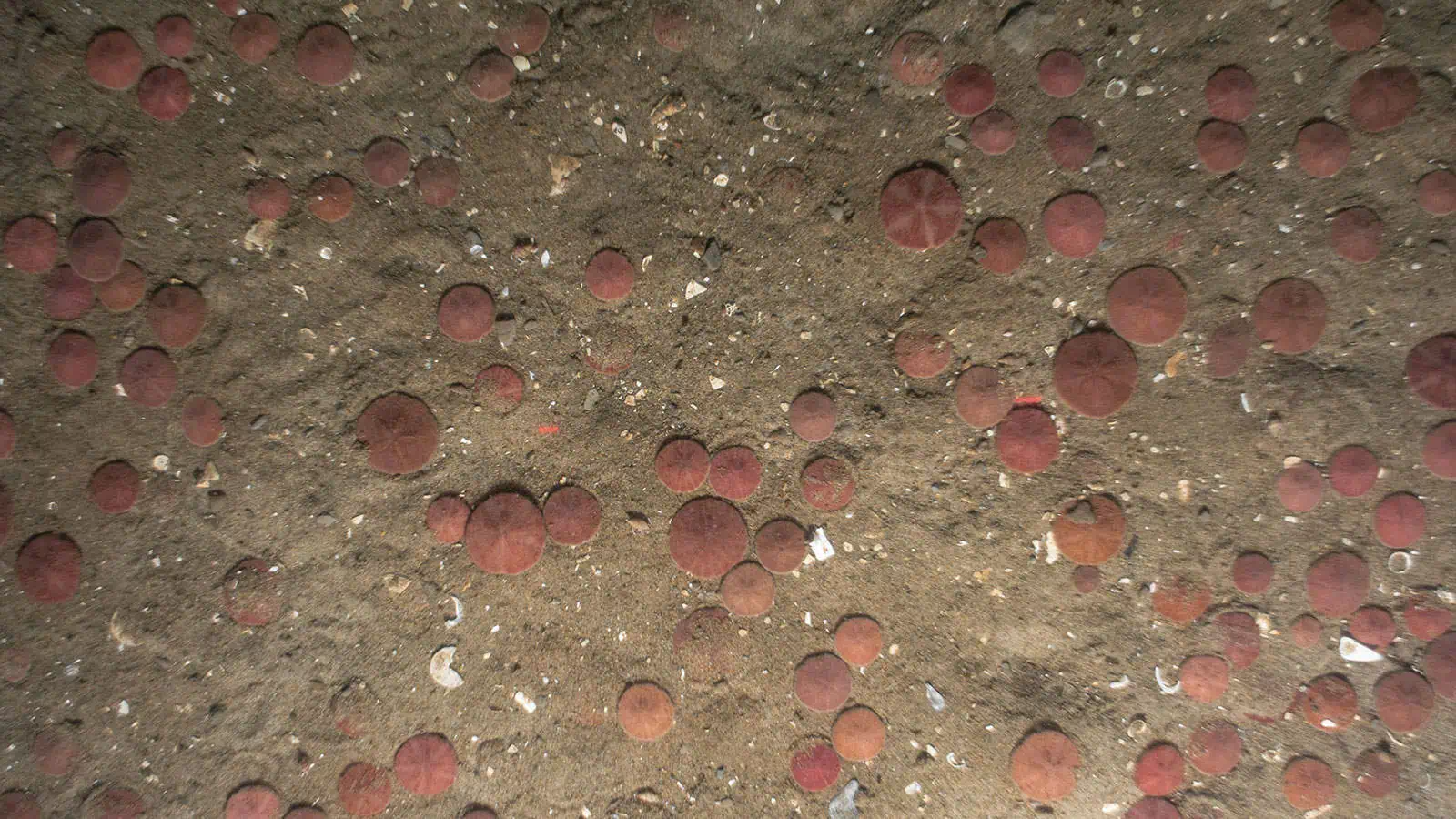
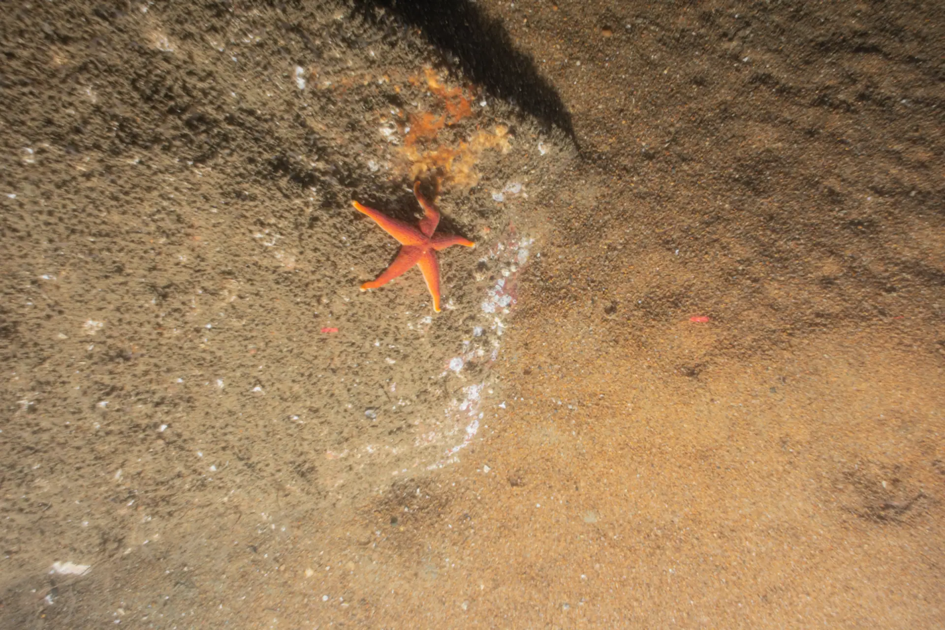
INSPIRE collected SPI /PV imagery offshore within the SRWF, along the portion of the Sunrise Wind Export Cable located in the Outer Continental Shelf, as well as at reference areas. A video survey was conducted to further delineate complex bottom observed during geophysical surveys and the SPI/PV survey; data from the SRWF video survey was used to inform habitat mapping efforts.
Benthic Habitat Mapping and Essential Fish Habitat Consultation
Additionally, INSPIRE developed the Benthic Habitat Mapping to support EFH Consultation Report, which was amended to the SRW COP. The purpose of this benthic habitat mapping report and associated data is to provide detailed information about the physical and biological characteristics and spatial distribution of benthic habitats found within the Benthic Habitat Study Area, which is inclusive of the areas Sunrise Wind surveyed for siting the Sunrise Wind Farm, the Sunrise Wind Export Cable, and the Onshore Transmission Cable under the Intracoastal Waterway via horizontal directional drilling. These data are intended to serve as foundational data for an evaluation of benthic habitat types that may be impacted by the Sunrise Wind Farm Project and, subsequently, the demersal species with essential fish habitat designated in the Benthic Habitat Study Area that may be impacted by Project-related disturbances to these seafloor habitats. These results were used to support the essential fish habitat consultation requested by BOEM and then performed by the National Oceanic and Atmospheric Administration National Marine Fisheries Greater Atlantic Regional Fisheries Office Habitat Conservation and Ecosystem Services Division (NOAA Habitat).
COP Support for Fisheries, EFH, and Benthic Resources
INSPIRE conducted desktop studies of finfish and invertebrate, essential fish habitat, and commercial and recreational fisheries resources to support the COP. As experts in benthic and fisheries resources, INSPIRE prepared appendices to the COP to characterize in detail the distribution, abundance, and demographics of the current state of knowledge of the benthos, commercial/recreational fisheries, and essential fish habitat. Information from these appendices informed COP sections that characterized benthic resources, finfish and invertebrates, and commercial/recreational fisheries. INSPIRE also evaluated several impact-producing factors for the COP sections within the spatial structure of the SRWF, SRWEC–OCS, SRWEC–NYS, and Onshore Transmission Cable and the temporal context of construction and operation activities.
Expert Witness Support
INSPIRE scientists provided Subject Matter Expertise and Expert Witness support to Sunrise Wind with New York State Article VII Permitting and requirements for submarine cable installation projects. INSPIRE scientists prepared benthic, EFH, and water quality components of the Article VII application.

