US EPA Dredged Material Monitoring
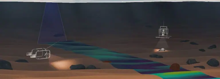
As a sub-contractor under a TSAWP II Multiple-Award Contract, INSPIRE collected bathymetric, physical, chemical, and biological data to evaluate the environmental condition of proposed or established MPRSA-designated dredged material placement sites and/or the area(s) in proximity to or associated with the site including but not limited to reference sites, transit routes over which placement vessels transport dredged material, and other marine habitats and/or physical areas of interest and/or concern. Selected tasks we performed are outlined below:
2020 Historic Area Remediation Site (HARS) ROV Image Analysis and Report
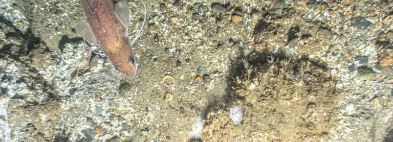
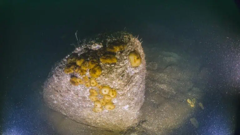
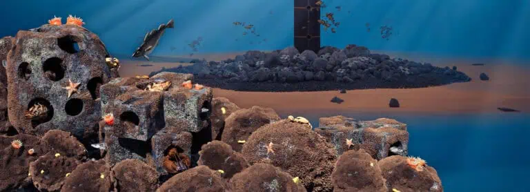
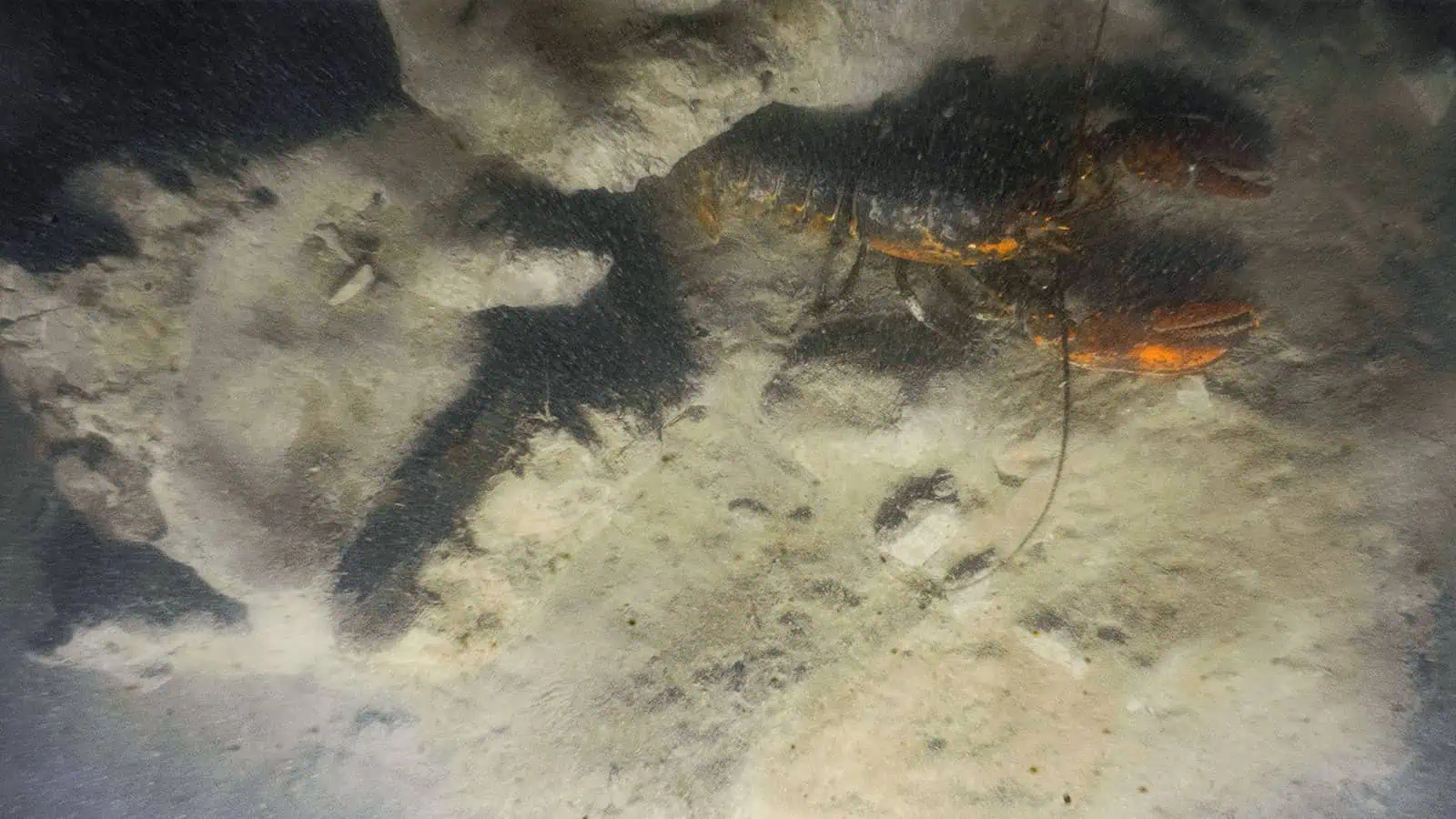
INSPIRE was tasked with reviewing Remotely Operated Vehicle (ROV) survey data collected by EPA Region 2 to determine the ecological health of a portion of the HARS used for disposal of rock excavated from federal navigation channel blasting. The results of this work enabled the USACE NYD and EPA Region 2 to understand the value of these hard bottom areas as beneficial habitat, helping to inform future site management decisions.
2021 Massachusetts Bay Disposal Site (MBDS) Multibeam Bathymetric and Sediment Grab Surveys and Synthesis Report
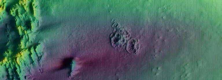
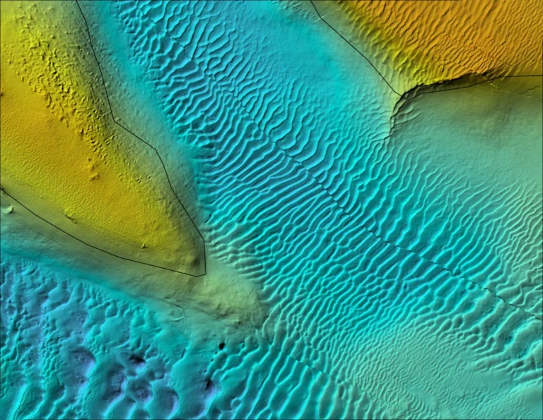
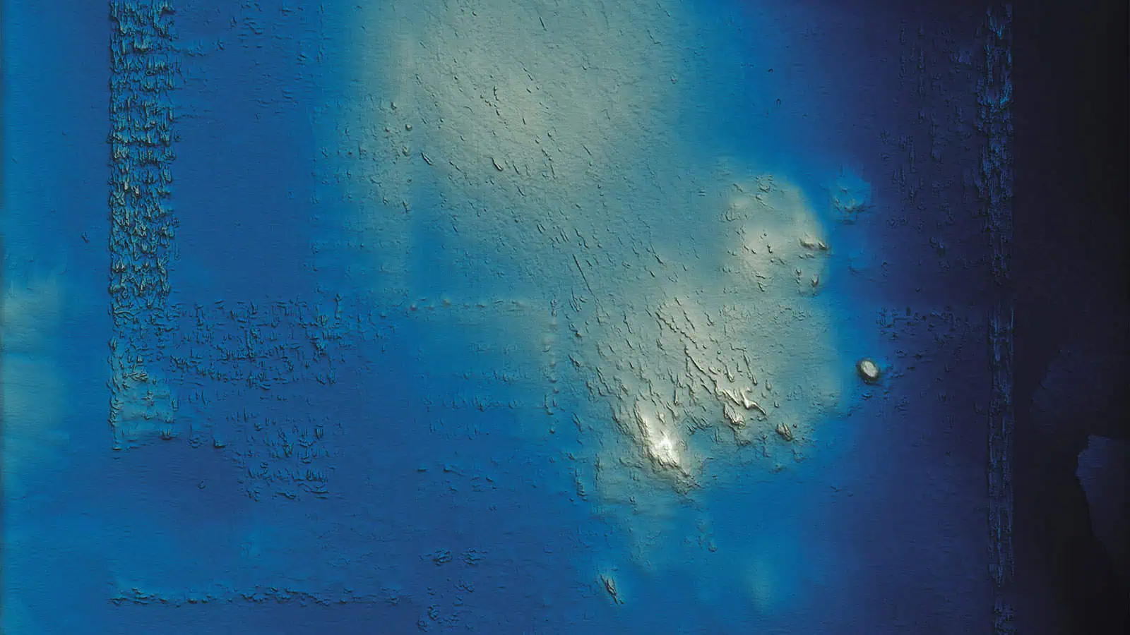
INSPIRE successfully conducted a comprehensive seafloor assessment at the Massachusetts Bay Disposal Site (MBDS). This evaluation involved the collection of high-resolution MBES data, as well as sediment grab sampling for subsequent grain size, chemistry, and radionuclide analyses. The survey design was specifically tailored to focus on the expansion area, which included the Industrial Waste Site (IWS) of the MBDS. Notably, this area underwent targeted restoration efforts through the beneficial use of dredged material sourced from Boston Harbor. It is important to highlight that this restoration project stands as the largest beneficial use of dredged material in the history of New England. Planning for the restoration project started in 2008 and in 2018 the EPA finalized an Environmental Impact Assessment which temporarily expanded the size of MBDS to overlap the area in need of restoration. In the same year the restoration began with the strategic placement of over 8.8 million cubic meters of suitable dredged material from the Boston Harbor Navigation Improvement Project.
2022 Caribbean ODMDS Survey (five sites in Puerto Rico) and Technical Reports
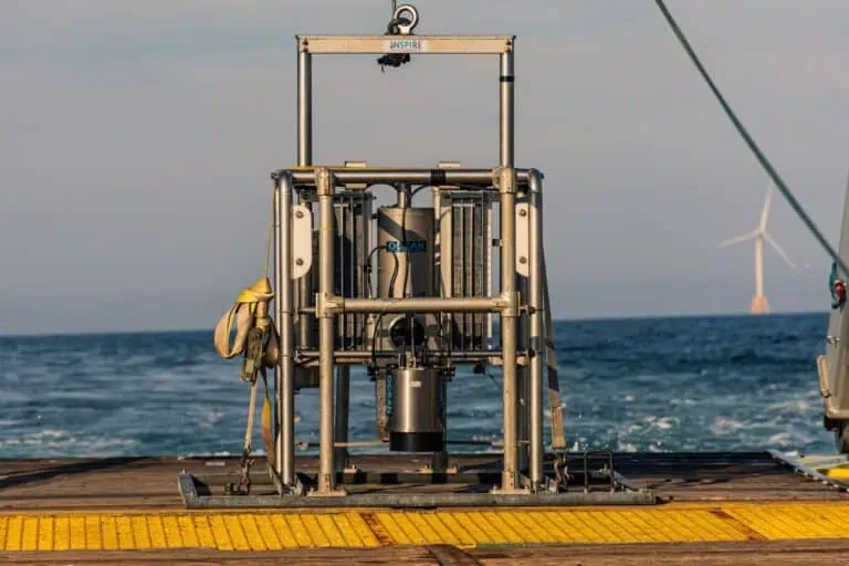
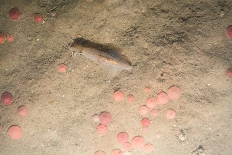
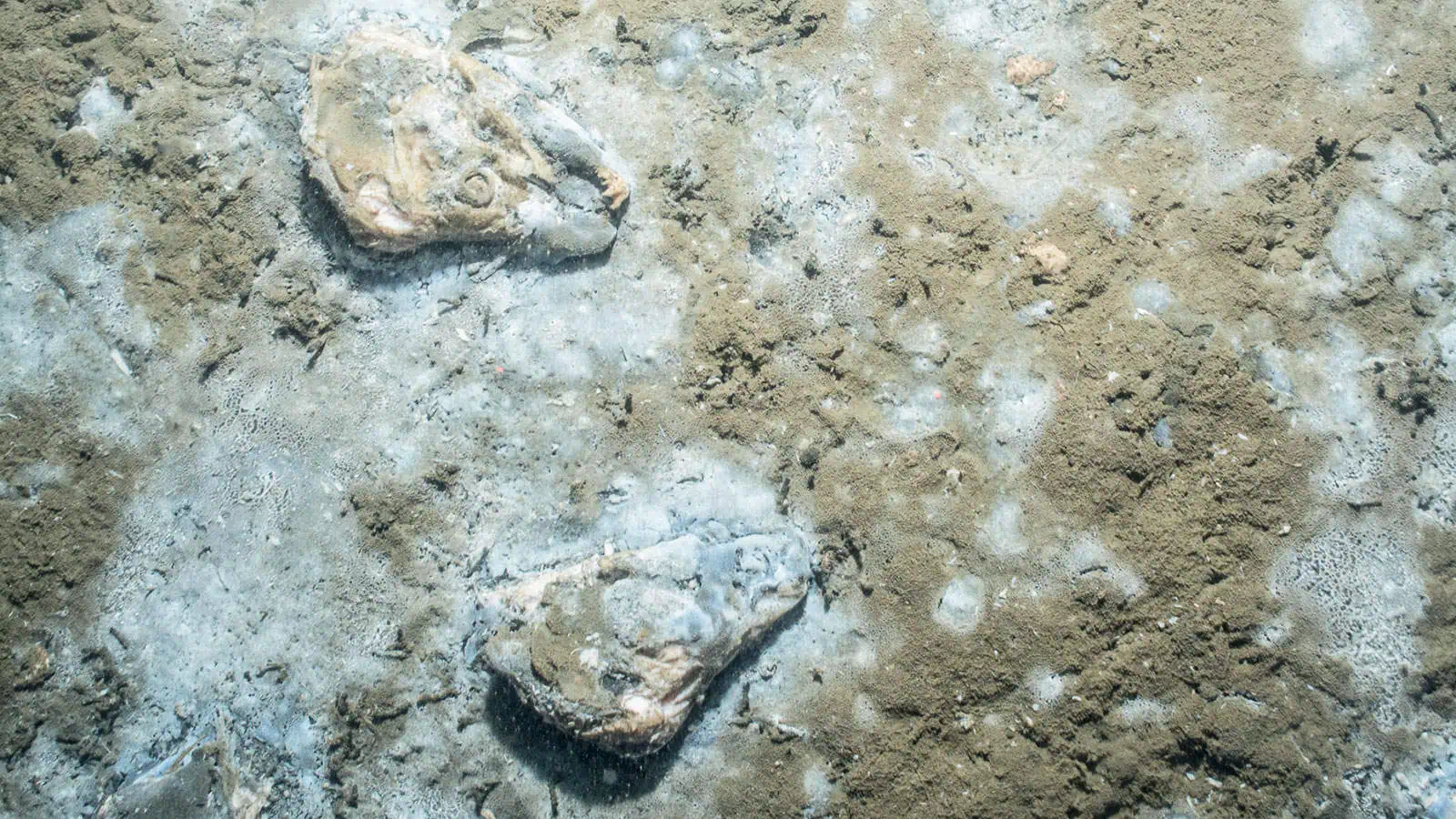
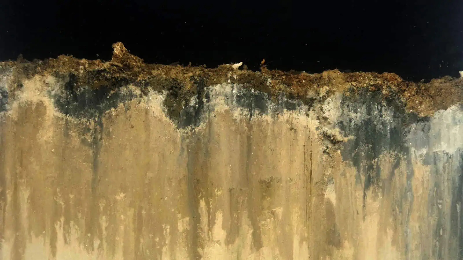
INSPIRE conducted sediment and benthic sampling at five Ocean Dredged Material Disposal Sites (ODMDSs) in waters near Puerto Rico as required by their SMMPs. The objectives of the surveys were to characterize the benthic conditions within and surrounding each of the ODMDSs. SPI/PV images were also collected in ‘Background’ areas that were considered representative of ambient or native sediments away from any effects from dredged material placement.
INSPIRE prepared a Synthesis Report that interprets the physical and chemical data for individual sediment samples, summarizes and compares results for samples collected within and outside individual ODMDS boundaries, and compares results across ODMDS survey areas. Discussions in the report were supported by tabulated data, plots, and maps to illustrate relationships between the data and across the sites.
2022 Guam Deep Ocean Disposal Site (G-DODS) Monitoring Survey
INSPIRE performed a combined SPI/PV survey at the Guam Deep Ocean Disposal Site (G-DODS) Ocean Dredged Material Disposal Site (ODMDS) in May 2022. The information generated from this survey is expected to contribute to updating the Site Management and Monitoring Plan (SMMP). The G-DODS has not been monitored since its designation in 2010, therefore the purpose of the survey was to conduct field work and analyze data and samples collected from the G-DODS study area. To assess the overall condition of the benthic habitat at the ODMDS and surrounding areas, SPI and PV images were collected along eight radial transects extending up to 7.8 kilometers (km) from the ODMDS center. Five stations were also imaged approximately 12 km to the east of the ODMDS. These five stations serve as a reference site for the G-DODS. SPI and PV images were collected and analyzed at a total of 62 stations (five reference stations and 57 stations in and around the disposal site).
Based on the results of this survey, dredged material disposal appears to have had no long-term adverse impact on the functioning of the benthic community, and the G-DODS is operating as intended and in accordance with the SMMP. Monitoring efforts should continue in a manner consistent with the SMMP’s tiered monitoring protocols.

