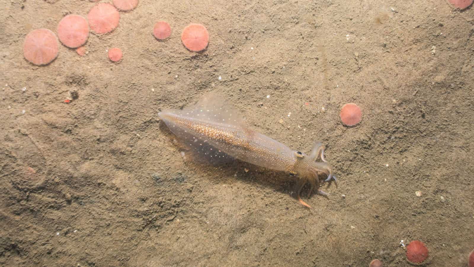
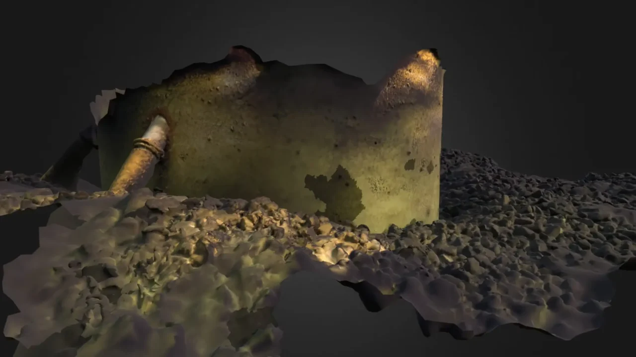
BRUV and PV surveys obtain relative abundance measures across space and time with minimal disturbance to fisheries or habitat
Short soak times during BRUV deployments reduce the potential for harmful interactions with marine mammals.
Baited Remote Under Water Video (BRUV) and Plan View (PV) Surveys
BRUV and PV surveys obtain images to quantify the presence and relative abundance of fish and invertebrates without substantially disturbing bottom habitat.
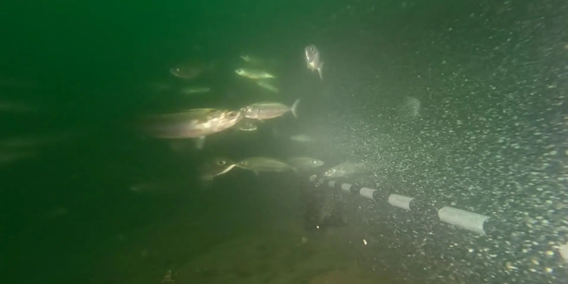
BRUV and PV surveys are non-extractive monitoring methods that document fish and invertebrate presence and relative abundance with no associated mortality.
BRUV and PV surveys can be conducted in structurally complex habitats that are difficult to sample using standard monitoring methods.
BRUV and PV sampling is well-suited to use in gradient monitoring designs that assess biological resource relative to distance from a source.
Non-extractive sampling methods
Images showcase fishery resources
Sampling is efficient with video footage and still images processed at a later time.
Video analysis is expedited by using machine learning in which artificial intelligence is used to identify video frames that have images of fish. An image library is being developed to identify fish at the species level.
Video analysis is expedited by using machine learning in which artificial intelligence is used to identify video frames that have images of fish. An image library is being developed to identify fish at the species level.
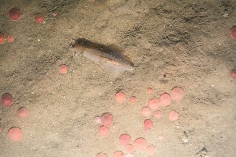
Plan View imagery captures target species in situ, yielding information on habitat use and interactions with other benthic resources.
Imagery can be used to assess fisheries resources across habitat types with a single gear type.
Imagery can be used to assess fisheries resources across habitat types with a single gear type.
Stereo imagery on BRUVs permits size estimations of individual fish
Two video recordings on each BRUV allow a calculation of fish size that can be compared between project time periods and locations.
Two video recordings on each BRUV allow a calculation of fish size that can be compared between project time periods and locations.
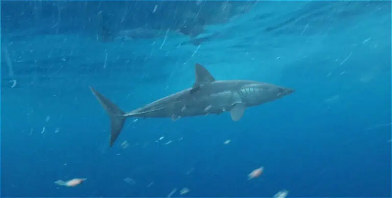
BRUV surveys attract large fish, such as sharks and tuna, that are not typically collected in trawls.
Seasonality of highly migratory species at a project site is important to document during baseline, construction, and post-construction time periods.
Seasonality of highly migratory species at a project site is important to document during baseline, construction, and post-construction time periods.
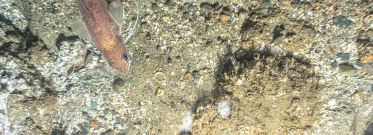
Plan View imagery allows measurements of target species.
Size distributions can be compared between project and reference locations and between baseline and post-construction time periods.
Size distributions can be compared between project and reference locations and between baseline and post-construction time periods.

The Nature Conservancy Webinar: Understanding Interactions Between Fish, Fish Habitat & Offshore Wind, featuring Dr. Annie Murphy, INSPIRE Environmental
Other Services
Essential Fish Habitat (EFH) Assessments
Fisheries Monitoring Plans
Acoustic Telemetry
Trawl Surveys
Trap and Fish Pot Surveys

Environmental DNA (eDNA) Studies

Fisheries Outreach
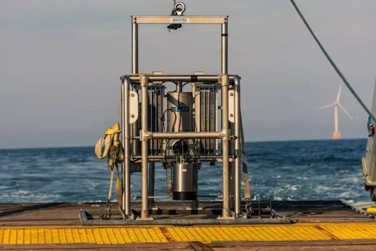
Sediment Profile Imaging/Plan View (SPI/PV) Surveys
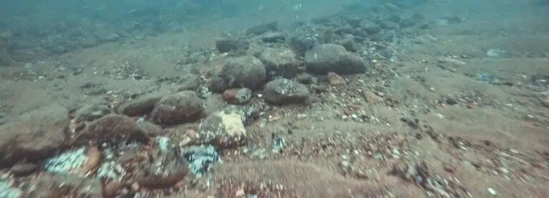
Towed Video Surveys
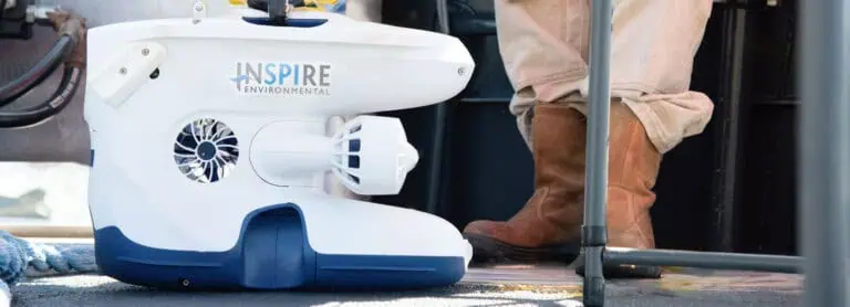
ROVs, High Resolution Video & 3D Photogrammetry
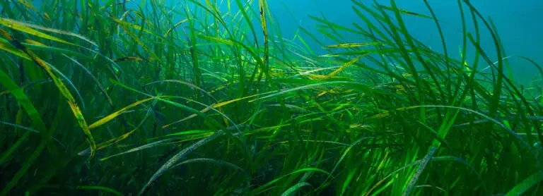
Submerged Aquatic Vegetation Surveys

We provide trusted expert support with a proven track record of success
