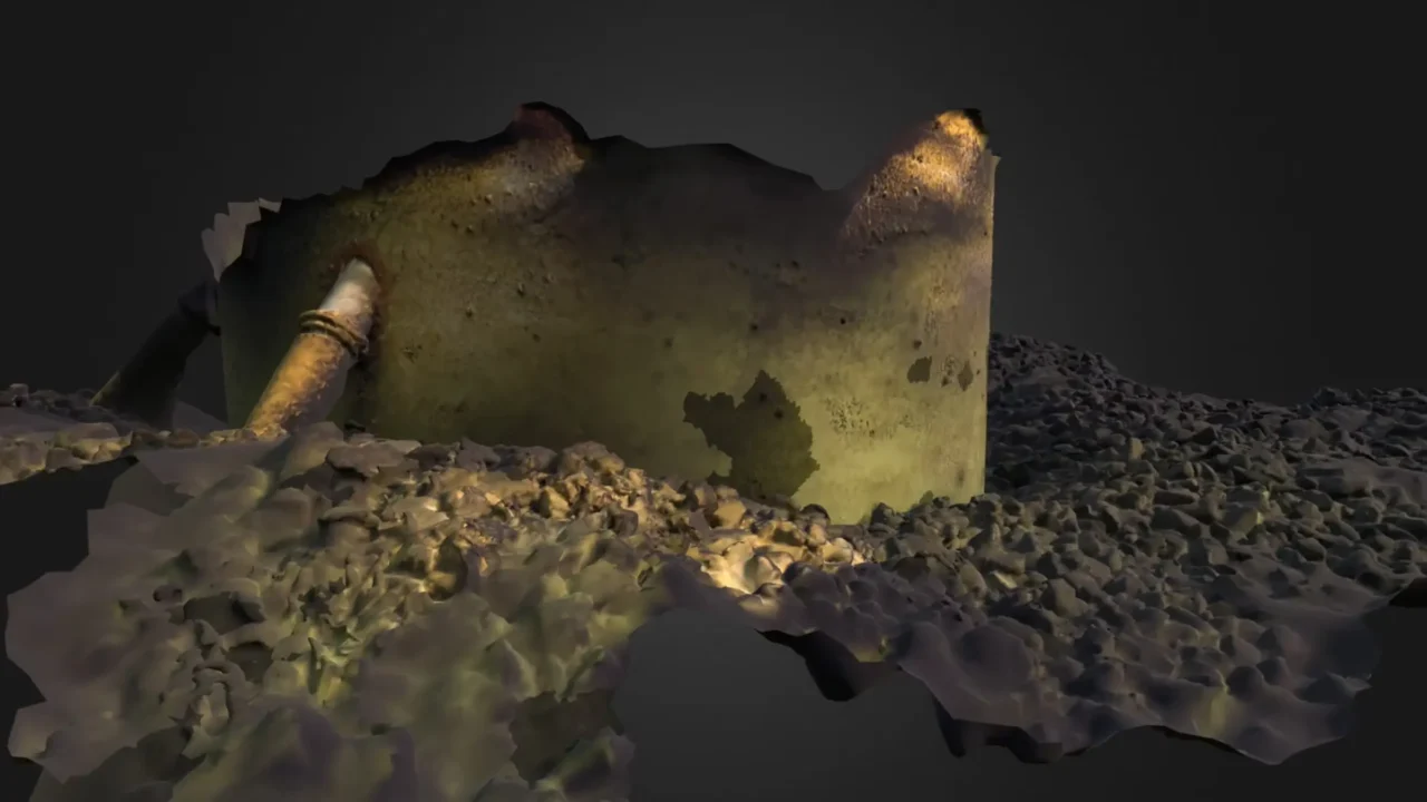
Benthic Habitat Mapping
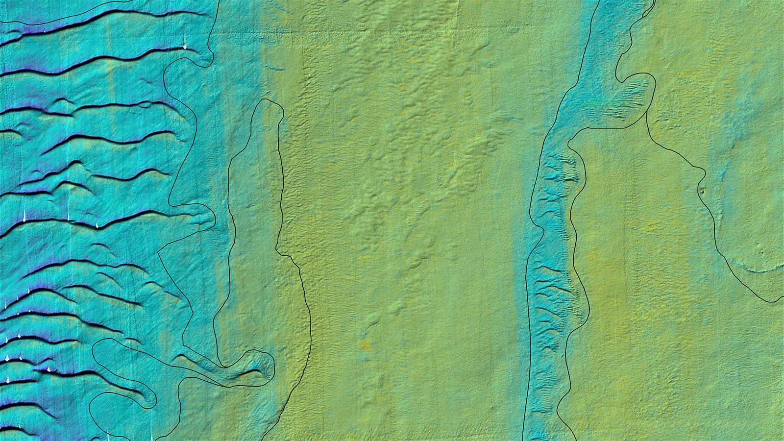
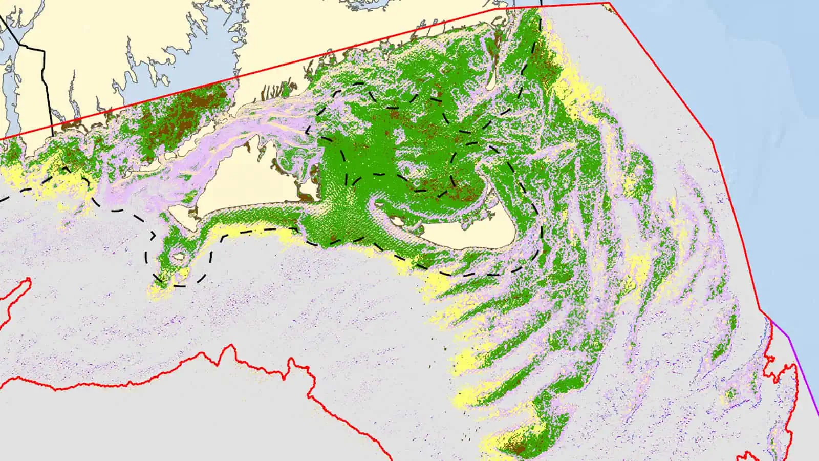
Our team is well-versed in coupling high resolution geophysical data and groundtruth imagery to develop and visualize the distribution of benthic habitats. Final benthic habitat delineations are mapped and used to inform project micrositing decisions, permitting documents, and the design of comprehensive benthic monitoring plans, as well as to augment regional seafloor mapping projects. Benthic habitat mapping is also a critical component of determining effects on essential fish habitat during EFH consultations.
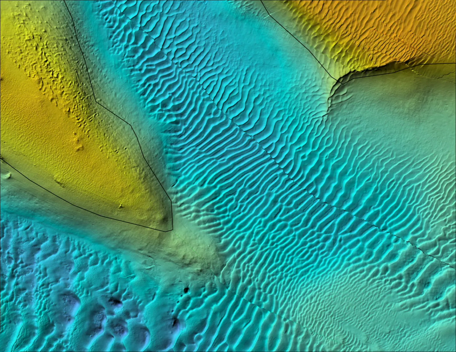
Mapping the distribution of benthic habitats to aid in project siting and impact assessments by pairing scientific rigor with a refined understanding of data of permitting and management needs.
Our team of scientists and data specialists couple geophysical layers and groundtruth SPI/PV imagery to delineate habitats and identify regions of sensitive and/or valuable benthic habitats. Our fisheries scientists crosswalk these mapped benthic habitats to designated EFH and provide valuable impact assessments.
We provide detailed maps and an interactive visualization tool describing the benthic habitats associated with the project boundaries, along with geophysical and ground-truth data. These deliverables are used to facilitate EFH consultation and subsequently inform project siting, permitting conditions, and monitoring plans.
Elements and Utilization of Benthic Habitat Mapping
Mapping and understanding the physical and biological characteristics of the seafloor.
Categorizing benthic habitats based on their physical structure, sediment type, and biological communities.
Habitat mapping to support project design and micrositing infrastructure to avoid and minimize impacts to sensitive habitats in offshore wind lease areas.
Our interactive visualization tool, the Popup, has proved vital to facilitate discussions with federal agencies on essential fish habitat distributions within the context of project-specific design elements.
Benthic habitat maps are critical to ensure compliance requirements are met; we use these maps to support the development of anchoring plans, micrositing plans, and scour and cable protection plans.
Habitat mapping results feed into the development of hypotheses regarding the expected response and influence of the native benthic habitats to offshore wind installation and operations.

The Nature Conservancy Webinar: Understanding Interactions Between Fish, Fish Habitat & Offshore Wind, featuring Dr. Annie Murphy, INSPIRE Environmental
Other Services
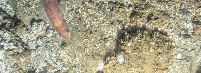
Essential Fish Habitat (EFH) Assessments
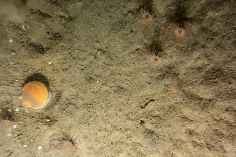
Benthic Resource Assessments
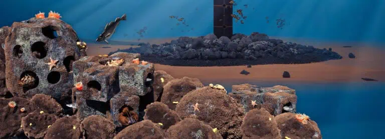
Nature Based Design
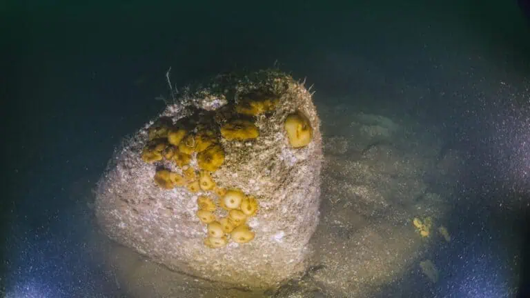
Benthic Monitoring Plans and Implementation
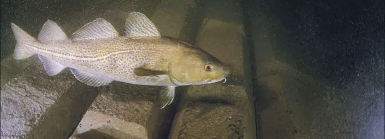
Foundation and Secondary Cable Protection Inspections
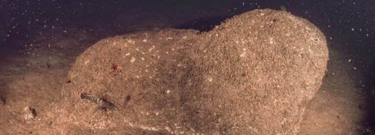
Marine Growth Services
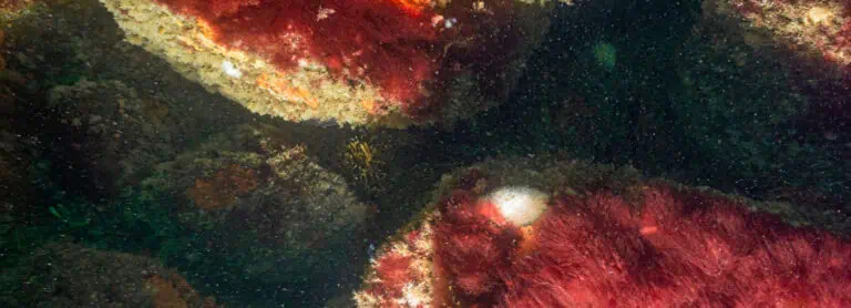
Habitat Creation and Restoration
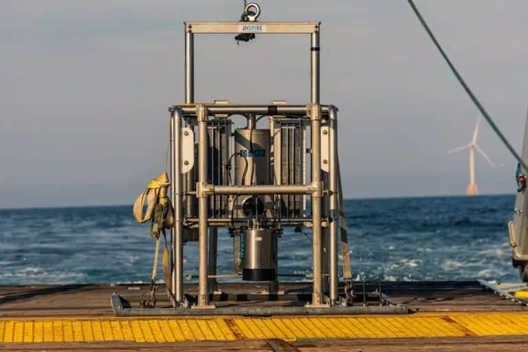
Sediment Profile Imaging/Plan View (SPI/PV) Surveys
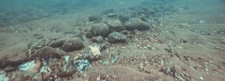
Towed Video Surveys
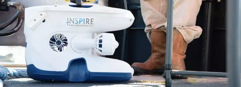
ROVs, High Resolution Video & 3D Photogrammetry

Submerged Aquatic Vegetation Surveys

Regulatory Support Services

