Desktop Analyses, Risk Assessment and Constraint Mapping

Early science-informed desktop studies are foundational to later project development, offering crucial insights and data-driven guidance that shape informed decision-making and strategic planning processes.

Desktop studies typically include comprehensive literature reviews, review of public data, and synthesis of existing information relevant to a project’s scope and objectives.

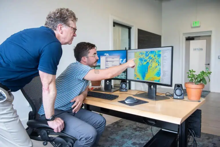
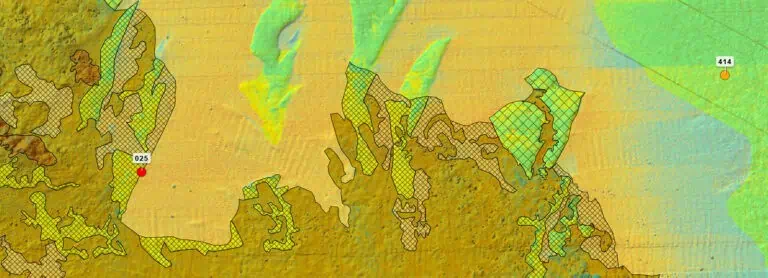
Desktop studies are crucial because they allow project planners and developers to gather pertinent information efficiently and cost-effectively without the need for extensive fieldwork. By synthesizing existing data and research, these studies provide a solid foundation for informed decision-making and strategic planning. Our desktop studies encompass narrative reports, risk analysis, interactive data visualization of data and potential constraints (such as Popup Maps), and other tools designed to facilitate early-stage decision-making processes.

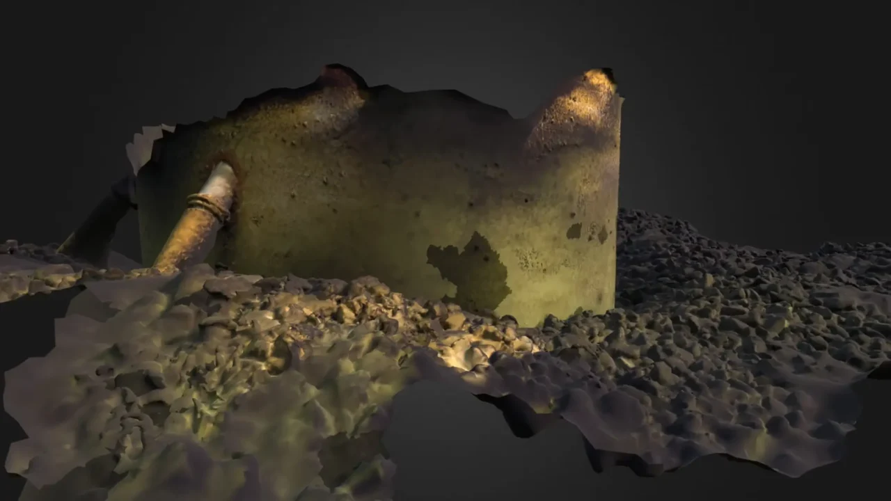
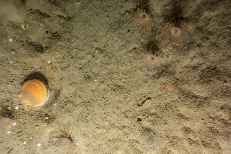
We offer integrated desktop studies for benthic ecosystem ecology, fisheries, marine acoustics, wildlife, and marine archaeology. Our desktop analyses can also include environmental, regulatory, and design constraints, such as the presence of unexploded ordinance, navigational hazards, existing infrastructure, and other critical data points essential for comprehensive project planning and decision-making.

Related Projects

Morro Bay, California Wind Energy Area Risk Evaluation Risk Evaluation, Fisheries Desktop Study, and Data Visualization Platform

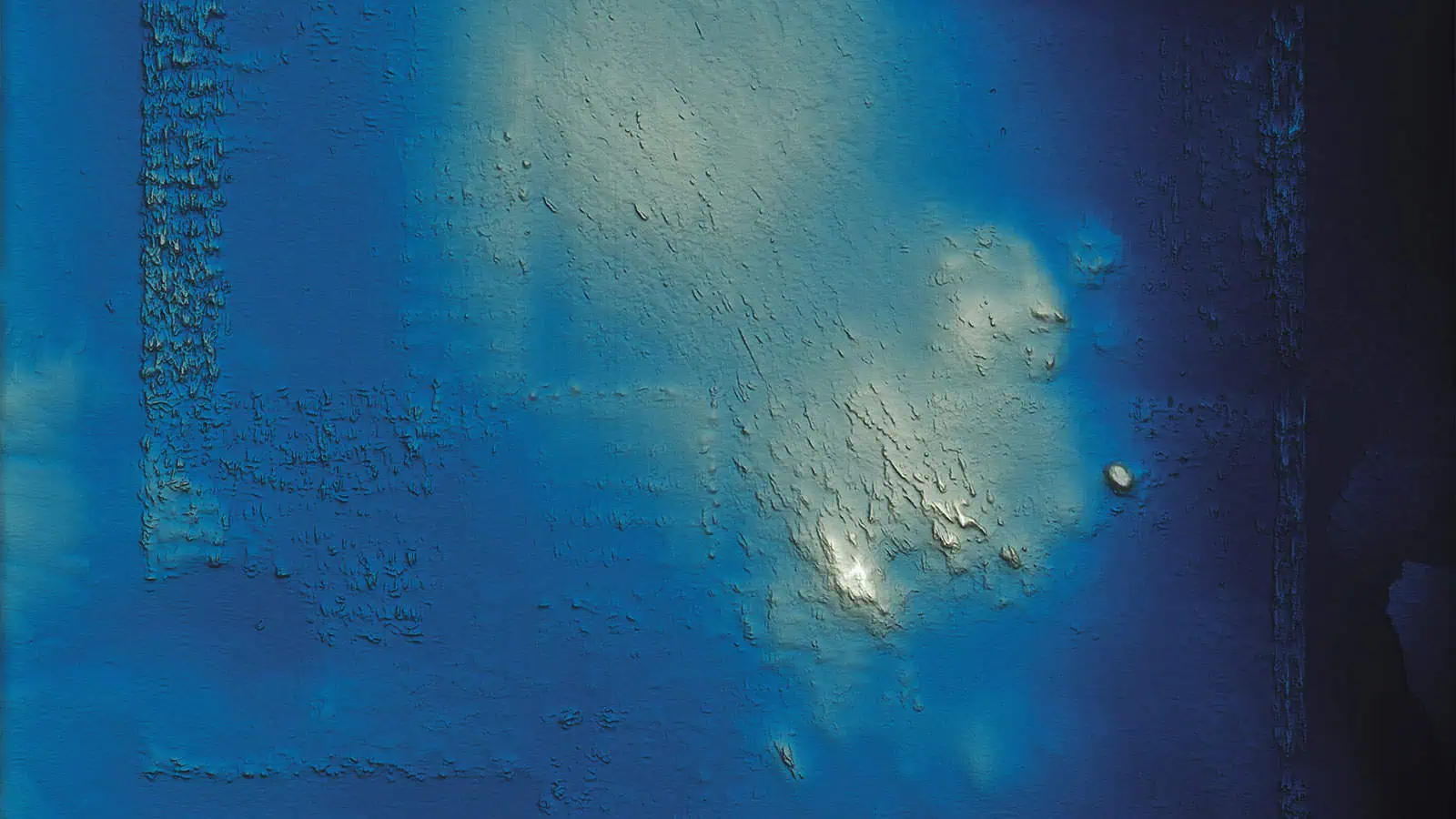
INSPIRE’s experts conducted a desktop Risk Assessment for permitting risks related to the sale and purchase of a lease block in the Morro Bay Wind Energy Area. The report detailed the methodology, categorized risks by group and area, and highlighted high-risk zones, impacts, and implications.

Related Projects

NYSERDA’s Offshore Wind – Master Plan 2.0

To advance NYSERDA’s Master Plan 2.0 identifying new floating wind energy areas, we conducted a desktop Benthic Habitat Study, which synthesized data, identified gaps, summarized known effects of floating wind development on benthic habitat, and provided guidelines for avoiding, minimizing, and mitigating impacts, identified risks, and recommended next steps.

Related Projects

Monitoring of the Historic Area Remediation Site (HARS) (2019 – 2024)

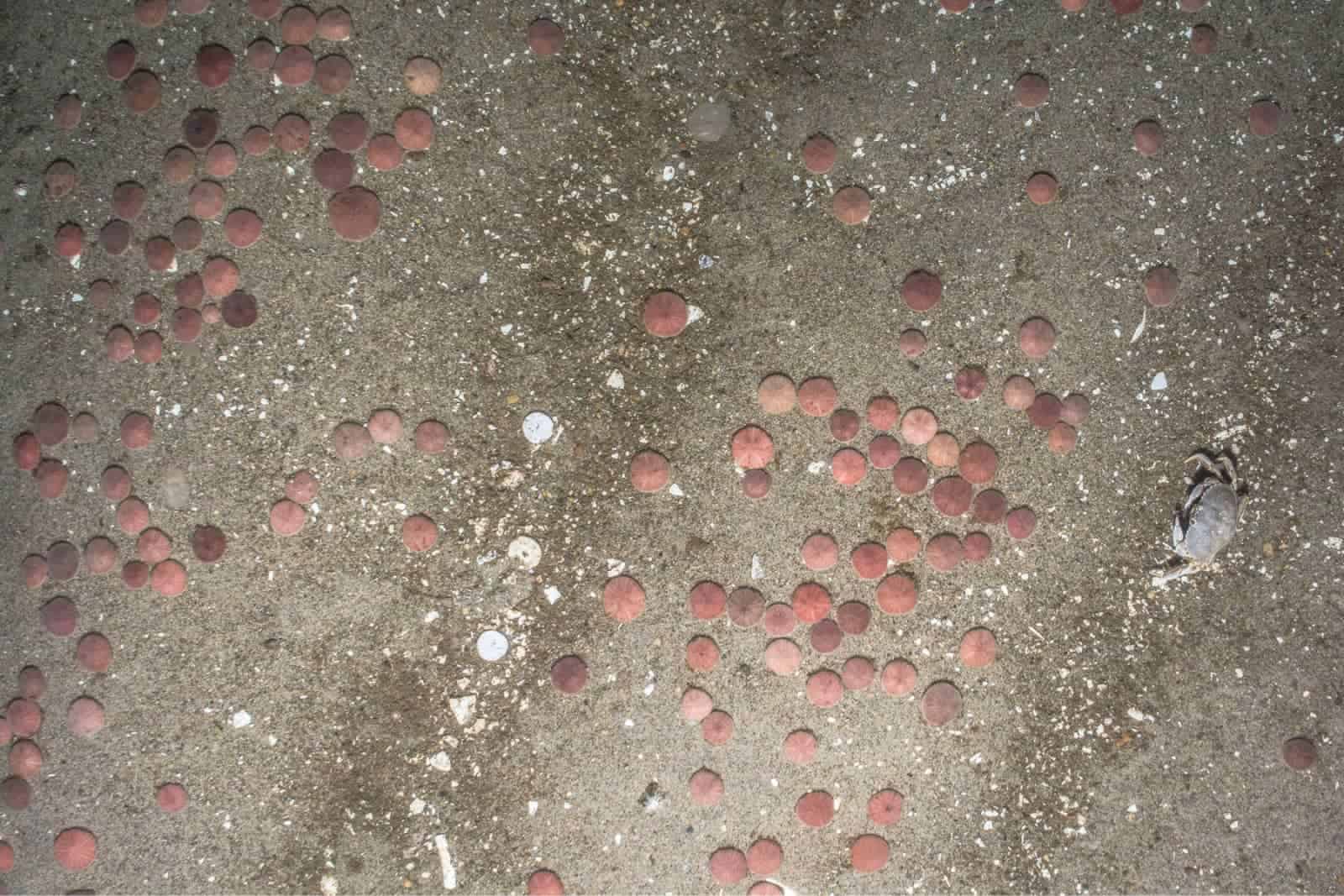
We conducted a desktop study to assist the U.S. Army Corps of Engineers and the U.S. Environmental Protection Agency evaluate potential new offshore dredged material disposal sites that could also serve as fishery enhancement areas.

Related Projects

Regional Wildlife Science Collaborative Regional Sediment Mapping

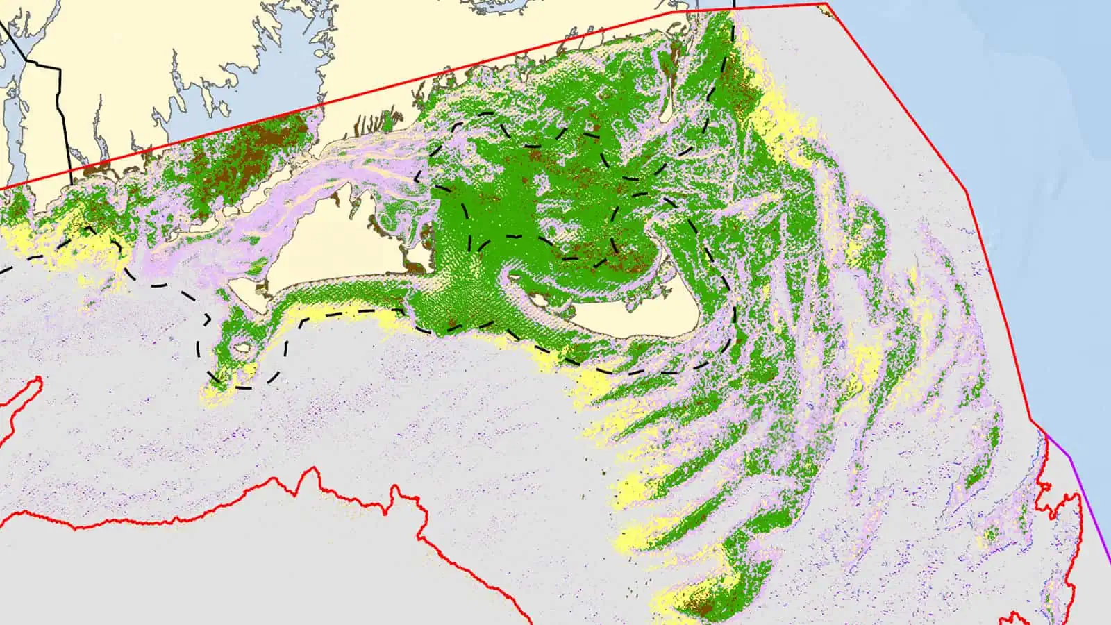
We developed a regional sediment distribution model using publicly available data and machine learning algorithms. This pilot project was conducted in collaboration with the Regional Wildlife Science Collaborative and included input from regional experts, as well as recommendations for data sharing and model improvement in the future. This study culminated in a peer-reviewed manuscript: Mapping seafloor sediment distributions using public geospatial data and machine learning to support regional offshore renewable energy development (Capizzano et al. 2024).
Related Projects

Cape Holland Vibroacoustic Modelling

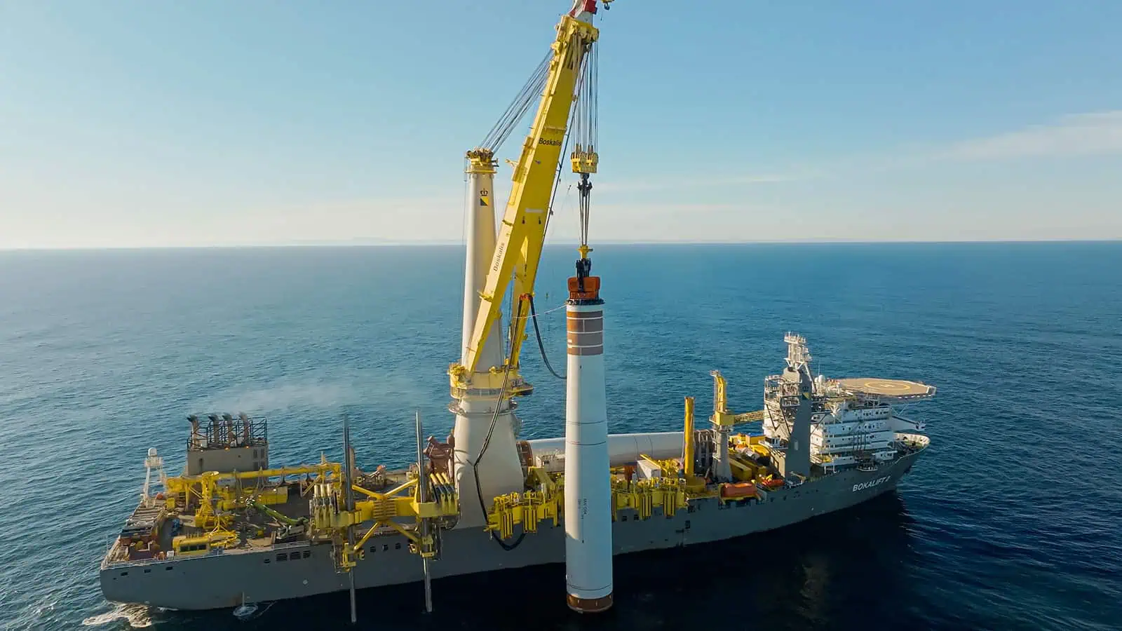
INSPIRE is working with Cape Holland to develop simulations of the sound field resulting from vibratory pile installation and investigate the extent of noise-induced behavioral responses in marine mammals compared to impact-hammer pile installation.
Integrated desktop analyses have many applications

Desktop Study Options

Literature Reviews
Comprehensive reviews of existing scientific and technical literature relevant to the project.
Desktop Data Review
Examination and synthesis of available datasets to derive insights and trends.
Weighted Risk Assessments
Weighted evaluation of potential risks associated with the project, such as environmental, regulatory, or operational risks, conducted by Subject Matter Experts.
Mapping and Visualization
Creation of interactive, web-based Popup maps, Story Maps, charts, and other visual aids to illustrate data and findings.
Cultural and Archaeological Archival Research
Evaluation of cultural resources and archaeological sites that may be impacted by the project.
Site Selection Studies
Analysis to identify and evaluate suitable locations for project infrastructure based on various criteria.
We provide trusted expert support with a proven track record of success

Interested in Desktop Analyses, Risk Assessment and Constraint Mapping?

Contact INSPIRE Environmental today for additional information about our services.