GIS
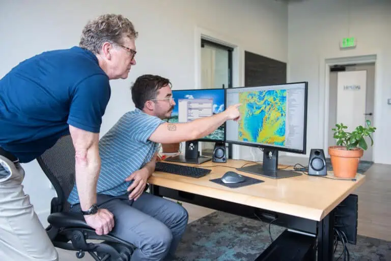
GIS systems and spatial data are foundational to our work. Our GIS team works hand in hand with our scientists to ensure that the representation of data results on maps are accurate, informative, and visually pleasing.
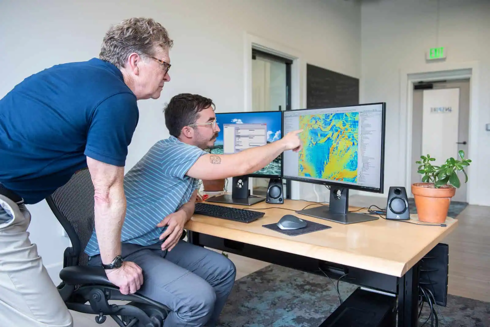
Our GIS team applies an in-depth understanding of data acquistion, project objectives, and end users when preparing spatial data for use in regulatory decision spaces, such as dredged material management and offshore wind permitting
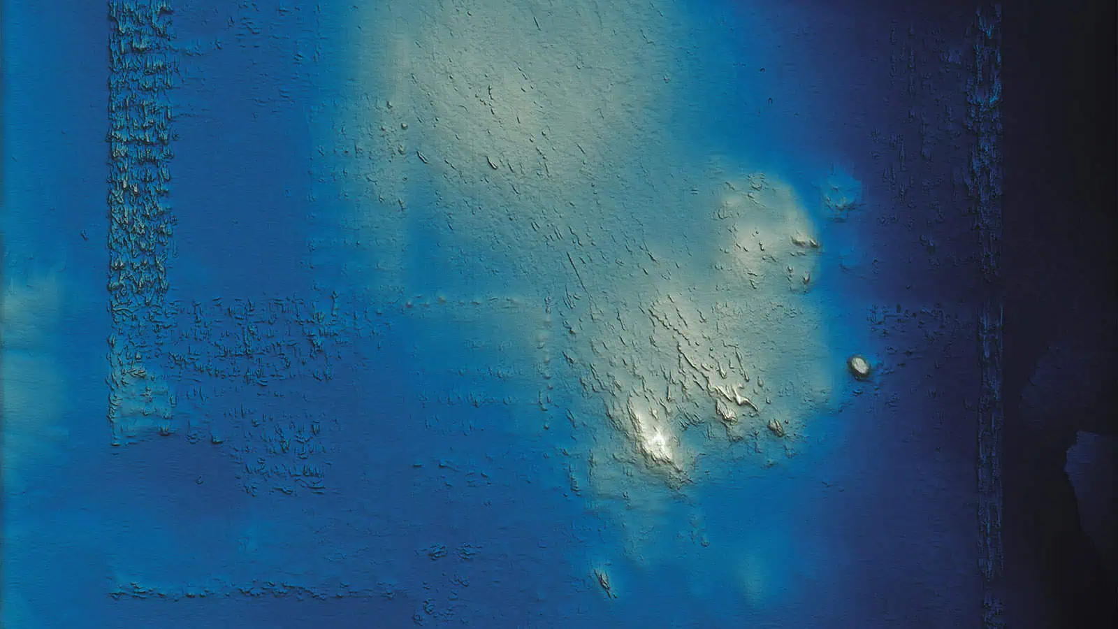
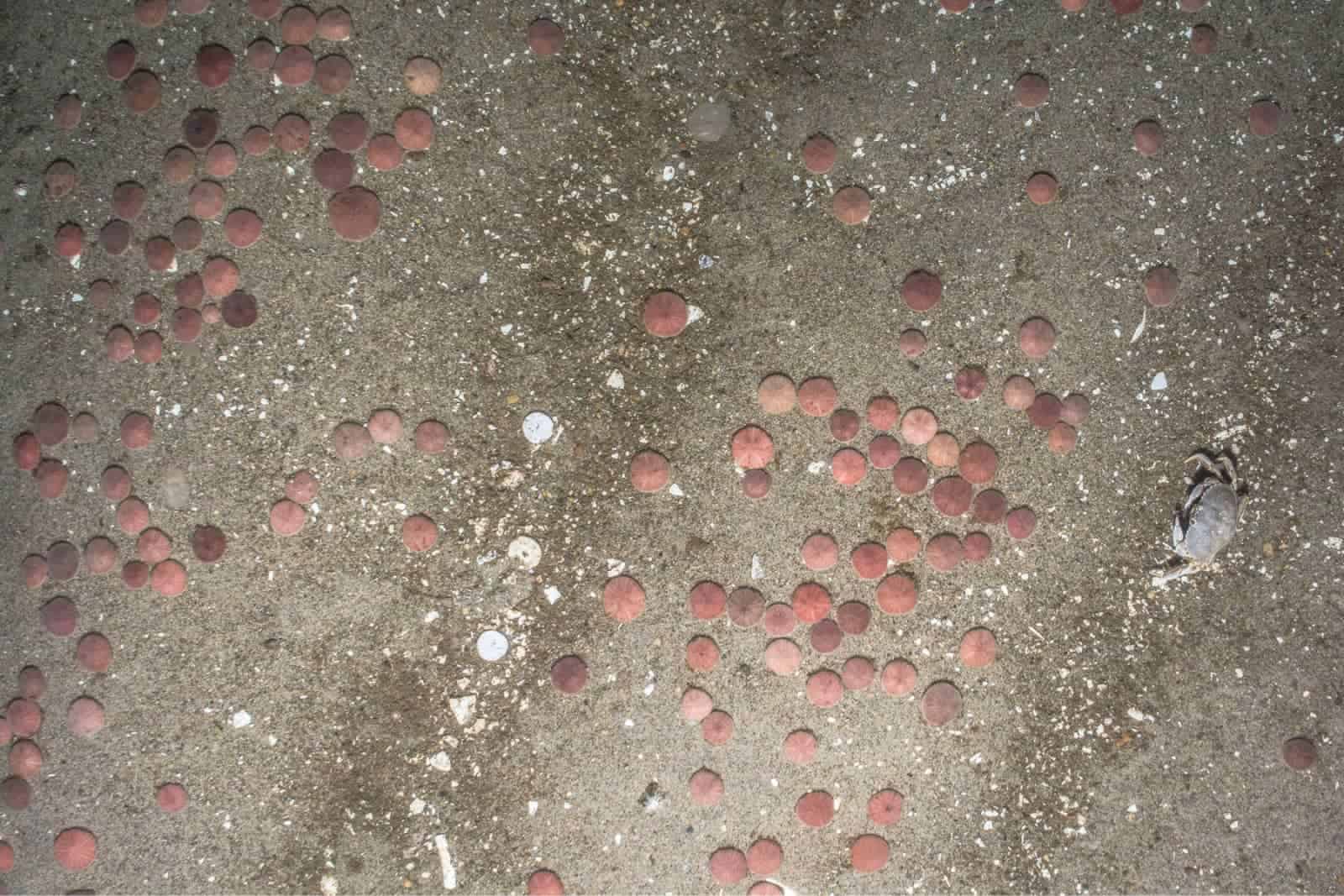
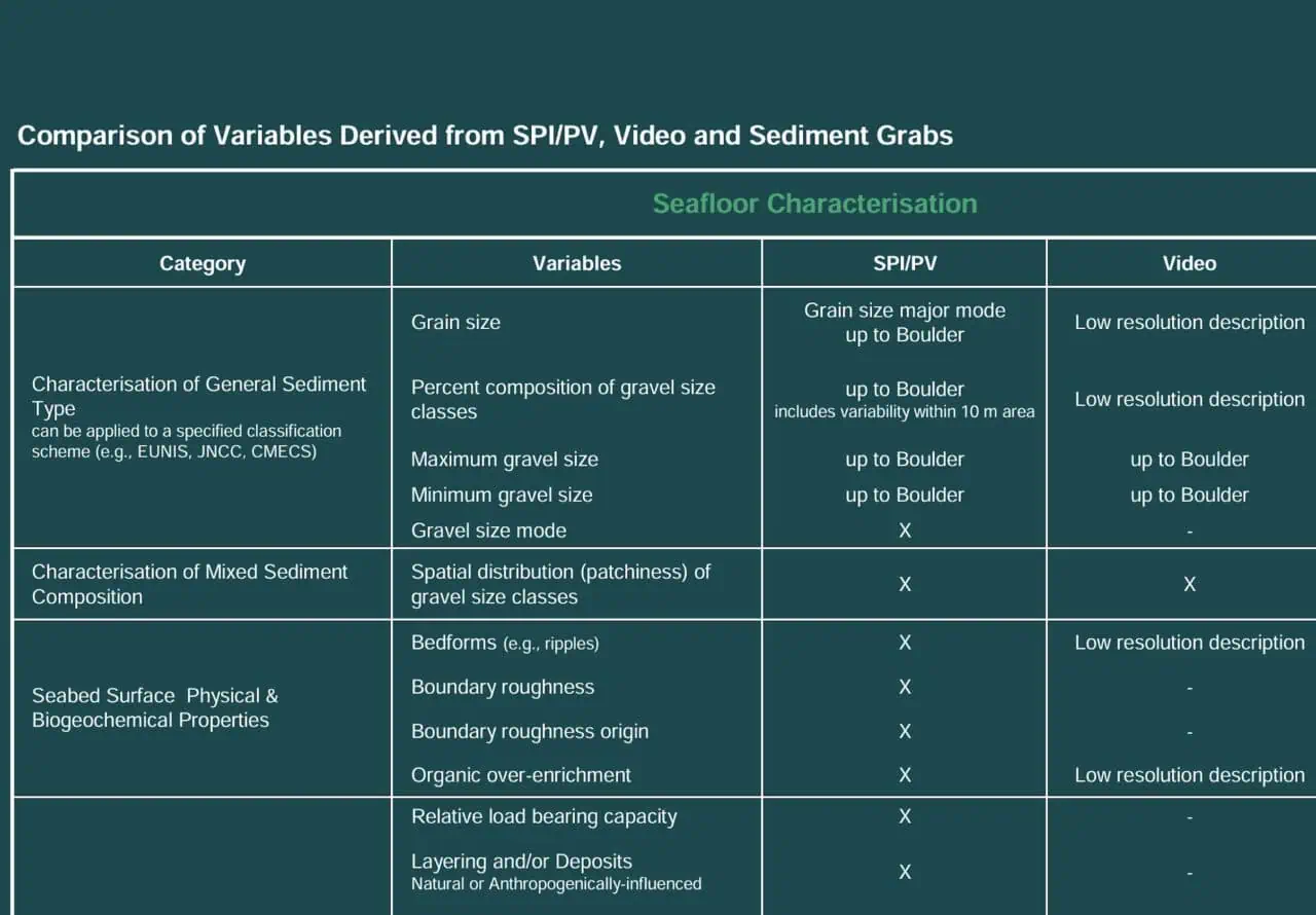
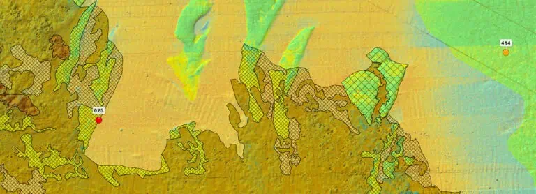
Our team is skilled at reviewing geophysical datasets (bathymetry, backscatter, and side-scan sonar) in concert with benthic ground-truth data and brokering meaningful conversations between geophysicists and biologists, engineers and permitting specialists.
Our GIS systems are built to support our clients’ needs for data sharing, utilizing a range of platforms from FTP sites to streaming web mapping services.
Spatial Complexity Translated
GIS and Spatial Analysis Offerings
Cartographic Services
Map-making to suit client and project needs.
Map-making to suit client and project needs.
Geophysical Data Review & Analysis
Review of bathymetry, backscatter, and side-scan sonar data to characterize seafloor habitats, identify potentially sensitive habitats, and evaluate changes over time.
Review of bathymetry, backscatter, and side-scan sonar data to characterize seafloor habitats, identify potentially sensitive habitats, and evaluate changes over time.
Story Maps
Engaging delivery of spatial data in concert with narrative text and imagery.
Engaging delivery of spatial data in concert with narrative text and imagery.
Data Delivery through Web Mapping Services
Seamless data delivery ensuring the most up-to-date data are always available and in use.
Seamless data delivery ensuring the most up-to-date data are always available and in use.
Geophysical Data Web Services
Intuitive and consistent raster mosaics for delivery to non-technical GIS users.
Intuitive and consistent raster mosaics for delivery to non-technical GIS users.
Spatial data to support machine learning
Preparation of vector and raster data and geostatistically derived variables to serve as inputs for machine learning models.
Preparation of vector and raster data and geostatistically derived variables to serve as inputs for machine learning models.

We provide trusted expert support with a proven track record of success
