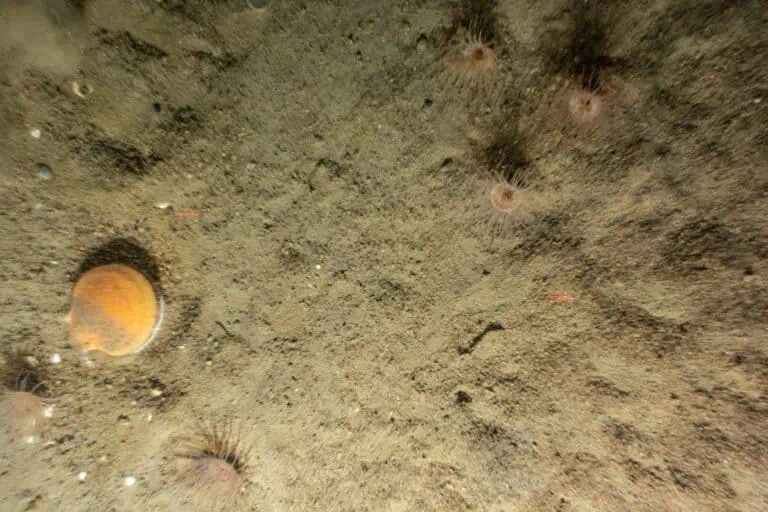
Image Analysis
Imagery-based data acquisition techniques are central to our analyses. Just as collecting quality images in the field is vital to success, so too is the image analysis that translates those images into quantitative and qualitative results for interpretation and answering research and management questions.
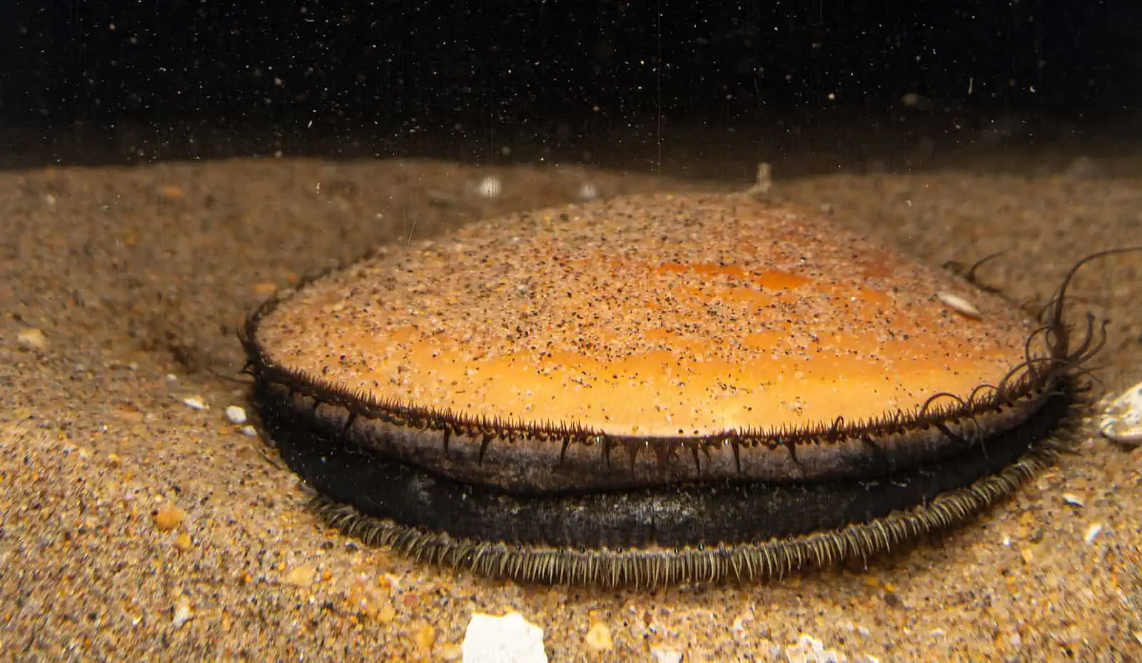
We constantly innovate and refine our image analysis processes and parameters to meet client and regulatory needs.
Our data scientists develop AI and ML methodologies for enhanced efficiencies and scientific value. These methodologies are developed and applied in concert with a deep understanding of the biogeochemical and ecological functioning captured in each image.
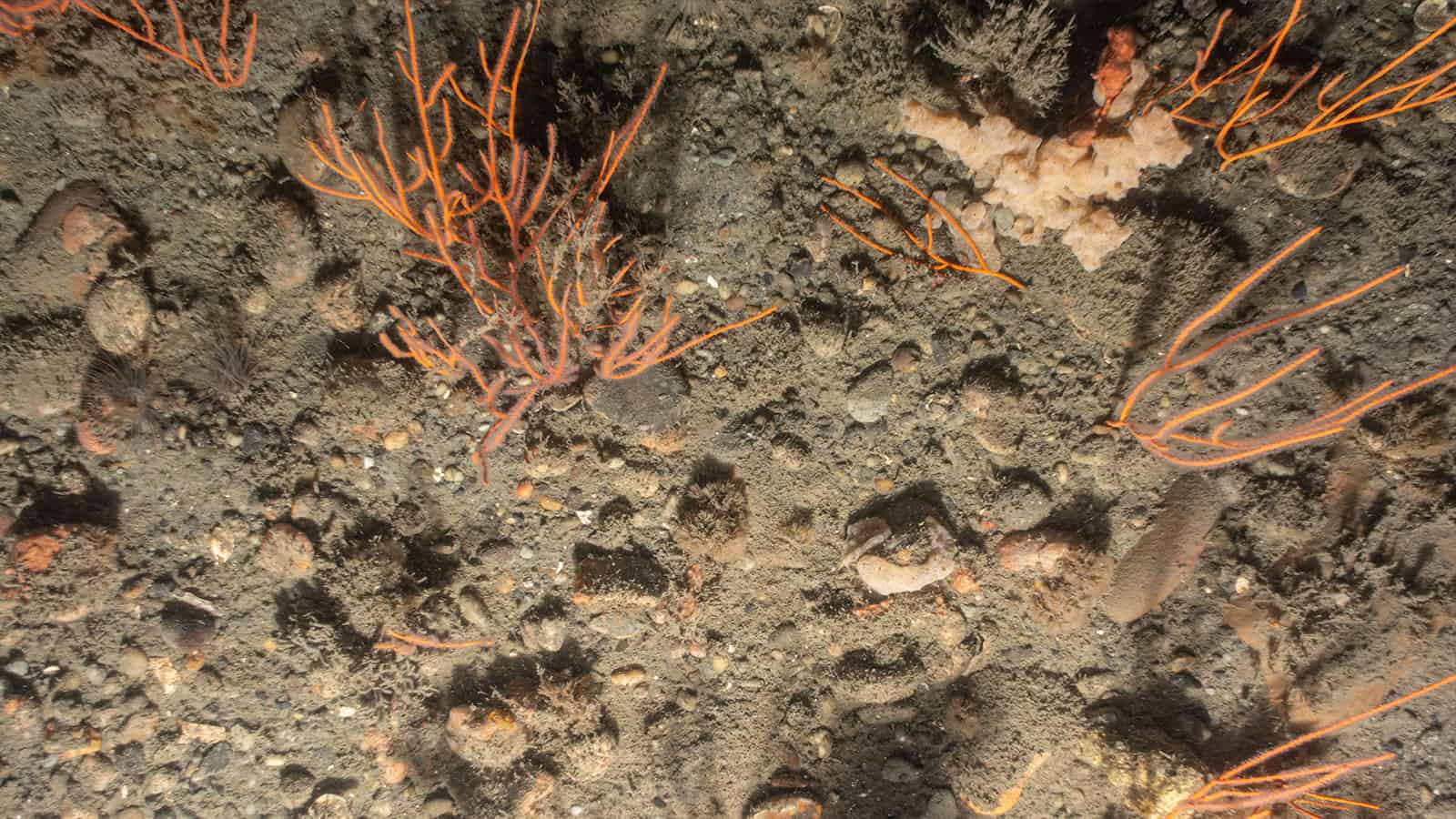
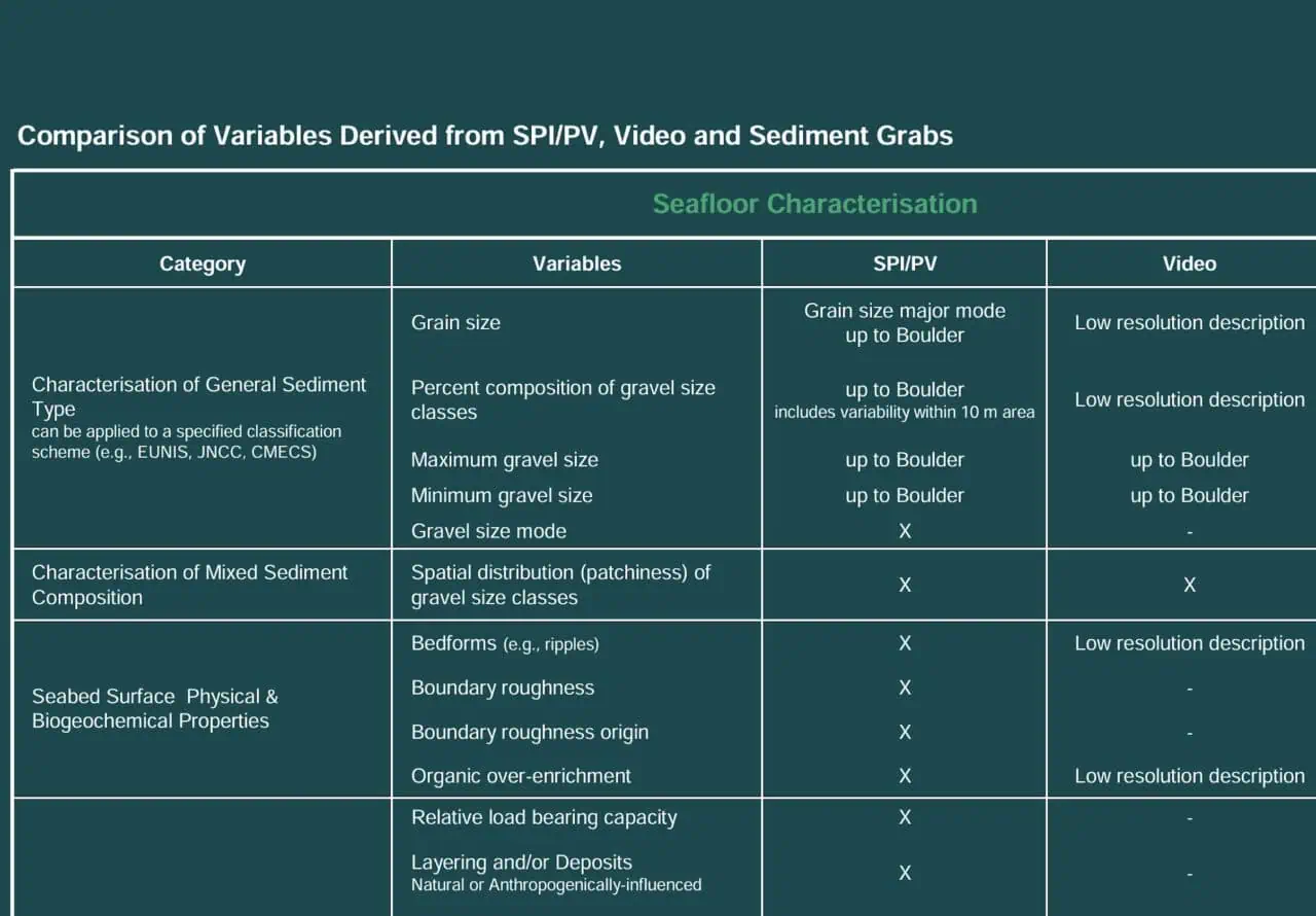
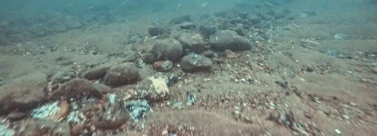
Our along-trackline video analysis provides fine-scale geoform level interpretation of seafloor characteristics that is paired with geophysical data and SPI/PV data to improve understanding of benthic habitat distribution and variability.
Image Analysis Applications
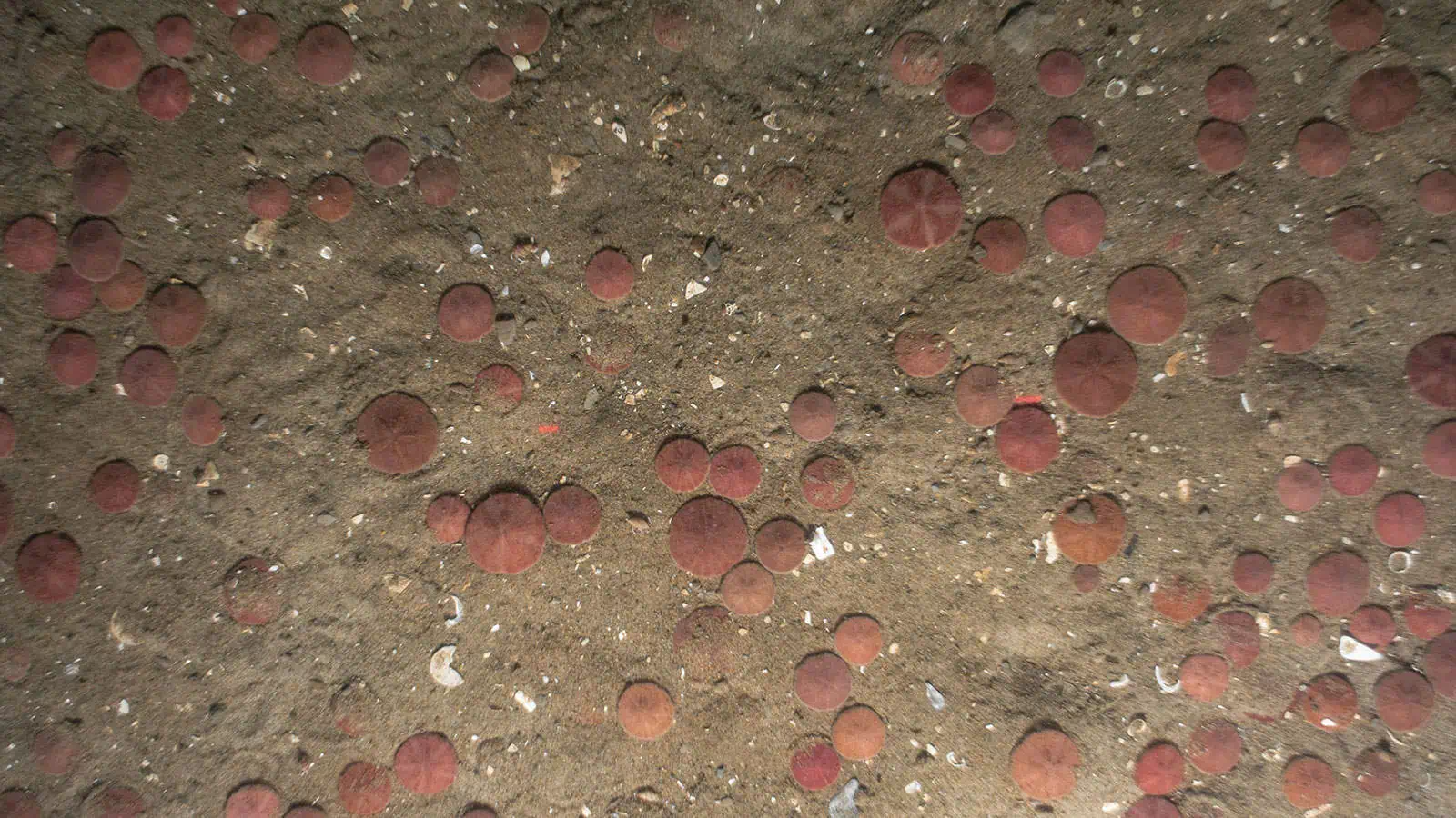
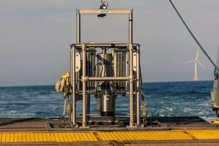
Our team of SPI/PV image analysts and scientists provide unparalleled collective experience interpreting these “worm’s eye views” of the benthic environment.
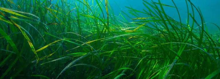
Video analysis is used to assess seafloor characteristics, investigate the extent of seagrass beds, and map epifaunal distributions.
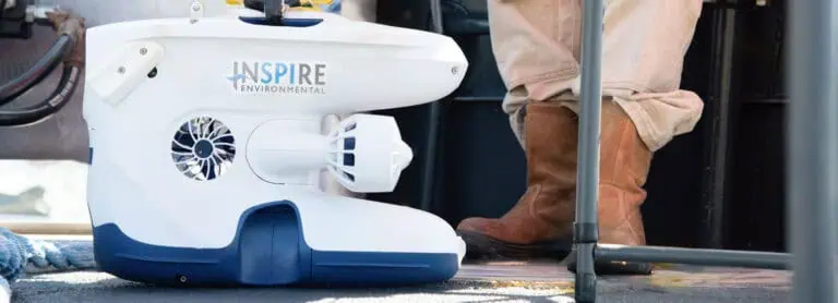
Imagery of boulders collected in ROV is analyzed to determine faunal composition as well as rugosity characteristics.
BRUV is used to assess fish abundance. Video analysis is expedited by using machine learning in which artificial intelligence is used to identify video frames that have images of fish. An image library is being developed to identify fish at the species level.
Images are analyzed to estimate volume of biomass growing on structures.
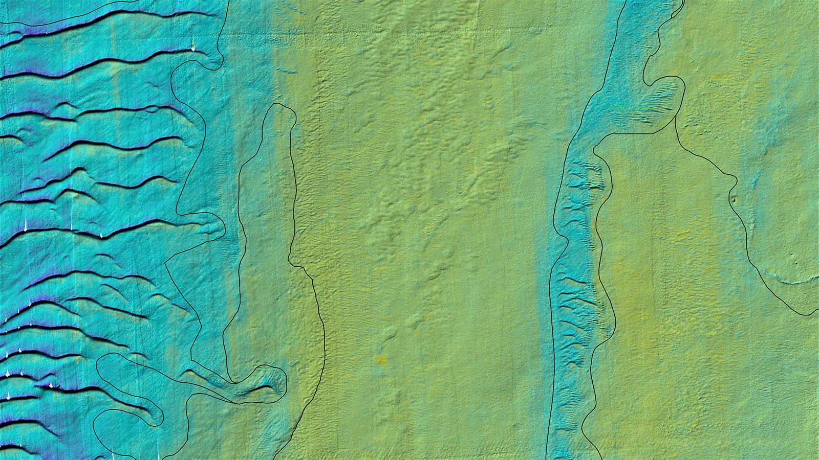
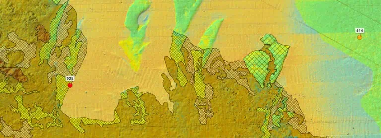
Results from SPI/PV and video analysis are used to ground-truth benthic habitat delineations derived from geophysical data.
Other Services

